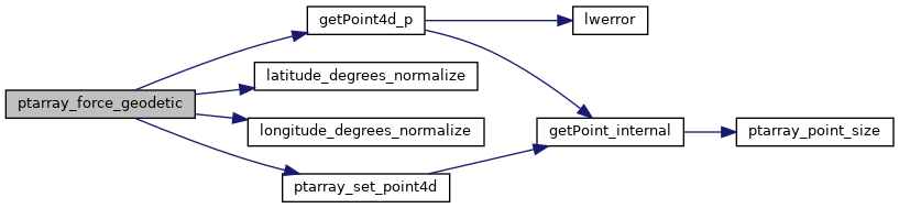
◆ ptarray_force_geodetic()
|
static |
Definition at line 3159 of file lwgeodetic.c.
int getPoint4d_p(const POINTARRAY *pa, uint32_t n, POINT4D *point)
Definition: lwgeom_api.c:125
void ptarray_set_point4d(POINTARRAY *pa, uint32_t n, const POINT4D *p4d)
Definition: lwgeom_api.c:369
double longitude_degrees_normalize(double lon)
Convert a longitude to the range of -180,180.
Definition: lwgeodetic.c:106
double latitude_degrees_normalize(double lat)
Convert a latitude to the range of -90,90.
Definition: lwgeodetic.c:133
Definition: liblwgeom.h:413
References getPoint4d_p(), latitude_degrees_normalize(), longitude_degrees_normalize(), LW_FALSE, LW_TRUE, POINTARRAY::npoints, ptarray_set_point4d(), POINT4D::x, and POINT4D::y.
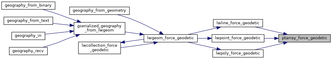
Referenced by lwline_force_geodetic(), lwpoint_force_geodetic(), and lwpoly_force_geodetic().
Here is the call graph for this function:
Here is the caller graph for this function: