◆ lwpoint_construct()
| LWPOINT* lwpoint_construct | ( | int32_t | srid, |
| GBOX * | bbox, | ||
| POINTARRAY * | point | ||
| ) |
Definition at line 129 of file lwpoint.c.
References POINTARRAY::flags, FLAGS_GET_M, FLAGS_GET_Z, FLAGS_SET_BBOX, FLAGS_SET_M, FLAGS_SET_Z, lwalloc(), POINTTYPE, and result.
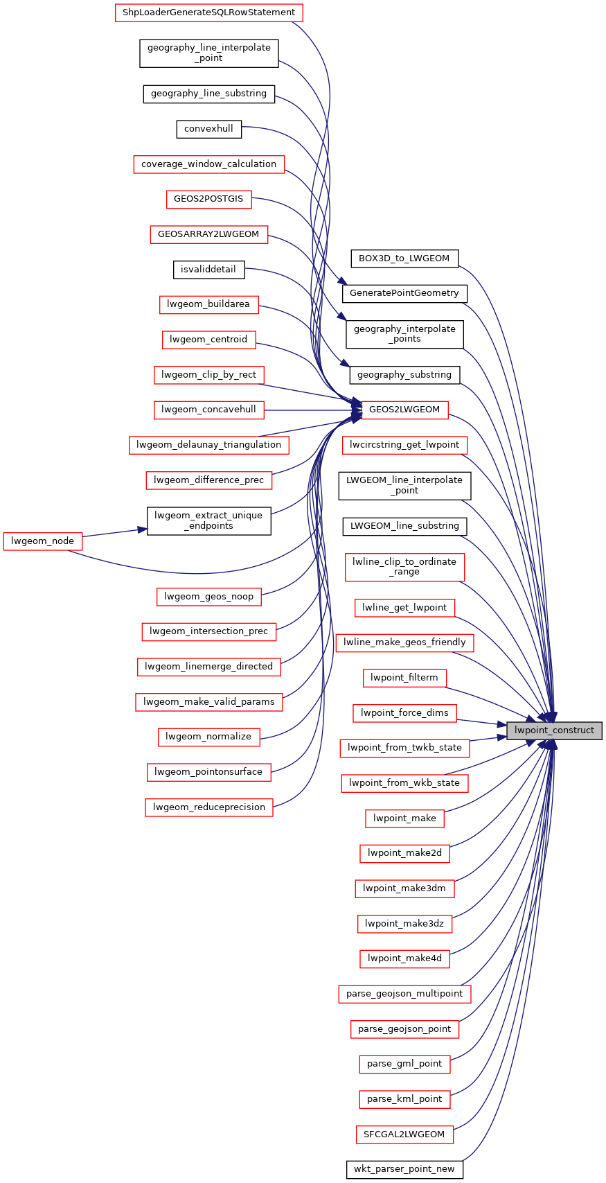
Referenced by BOX3D_to_LWGEOM(), GeneratePointGeometry(), geography_interpolate_points(), geography_substring(), GEOS2LWGEOM(), lwcircstring_get_lwpoint(), LWGEOM_line_interpolate_point(), LWGEOM_line_substring(), lwline_clip_to_ordinate_range(), lwline_get_lwpoint(), lwline_make_geos_friendly(), lwpoint_filterm(), lwpoint_force_dims(), lwpoint_from_twkb_state(), lwpoint_from_wkb_state(), lwpoint_make(), lwpoint_make2d(), lwpoint_make3dm(), lwpoint_make3dz(), lwpoint_make4d(), parse_geojson_multipoint(), parse_geojson_point(), parse_gml_point(), parse_kml_point(), SFCGAL2LWGEOM(), and wkt_parser_point_new().