PostGIS  3.4.0dev-r@@SVN_REVISION@@

◆ lwgeom_delaunay_triangulation()

LWGEOM* lwgeom_delaunay_triangulation ( const LWGEOM geom,
double  tolerance,
int32_t  edgeOnly 
)

Take vertices of a geometry and build a delaunay triangulation on them.

Parameters
geomthe input geometry
tolerancean optional snapping tolerance for improved robustness
edgeOnlyif non-zero the result will be a MULTILINESTRING, otherwise it'll be a COLLECTION of polygons.

Definition at line 2009 of file liblwgeom/lwgeom_geos.c.

2010 {
2011  LWGEOM* result;
2012  int32_t srid = RESULT_SRID(geom);
2013  uint8_t is3d = FLAGS_GET_Z(geom->flags);
2014  GEOSGeometry *g1, *g3;
2015 
2016  if (output < 0 || output > 2)
2017  {
2018  lwerror("%s: invalid output type specified %d", __func__, output);
2019  return NULL;
2020  }
2021 
2022  if (srid == SRID_INVALID) return NULL;
2023 
2024  initGEOS(lwnotice, lwgeom_geos_error);
2025 
2026  if (!(g1 = LWGEOM2GEOS(geom, AUTOFIX))) GEOS_FAIL();
2027 
2028  /* if output != 1 we want polys */
2029  g3 = GEOSDelaunayTriangulation(g1, tolerance, output == 1);
2030 
2031  if (!g3) GEOS_FREE_AND_FAIL(g1);
2032  GEOSSetSRID(g3, srid);
2033 
2034  if (output == 2)
2035  {
2036  result = (LWGEOM*)lwtin_from_geos(g3, is3d);
2037  if (!result)
2038  {
2039  GEOS_FREE(g1, g3);
2040  lwerror("%s: cannot convert output geometry", __func__);
2041  return NULL;
2042  }
2043  lwgeom_set_srid(result, srid);
2044  }
2045  else if (!(result = GEOS2LWGEOM(g3, is3d)))
2046  GEOS_FREE_AND_FAIL(g1, g3);
2047 
2048  GEOS_FREE(g1, g3);
2049  return result;
2050 }
char result[OUT_DOUBLE_BUFFER_SIZE]
Definition: cu_print.c:262
#define GEOS_FREE(...)
#define AUTOFIX
#define RESULT_SRID(...)
#define GEOS_FAIL()
#define GEOS_FREE_AND_FAIL(...)
GEOSGeometry * LWGEOM2GEOS(const LWGEOM *lwgeom, uint8_t autofix)
LWGEOM * GEOS2LWGEOM(const GEOSGeometry *geom, uint8_t want3d)
void lwgeom_geos_error(const char *fmt,...)
LWTIN * lwtin_from_geos(const GEOSGeometry *geom, uint8_t want3d)
#define SRID_INVALID
Definition: liblwgeom.h:219
void lwgeom_set_srid(LWGEOM *geom, int32_t srid)
Set the SRID on an LWGEOM For collections, only the parent gets an SRID, all the children get SRID_UN...
Definition: lwgeom.c:1547
#define FLAGS_GET_Z(flags)
Definition: liblwgeom.h:165
void lwerror(const char *fmt,...)
Write a notice out to the error handler.
Definition: lwutil.c:190
void lwnotice(const char *fmt,...)
Write a notice out to the notice handler.
Definition: lwutil.c:177
lwflags_t flags
Definition: liblwgeom.h:461

References AUTOFIX, LWGEOM::flags, FLAGS_GET_Z, GEOS2LWGEOM(), GEOS_FAIL, GEOS_FREE, GEOS_FREE_AND_FAIL, lwerror(), LWGEOM2GEOS(), lwgeom_geos_error(), lwgeom_set_srid(), lwnotice(), lwtin_from_geos(), result, RESULT_SRID, and SRID_INVALID.

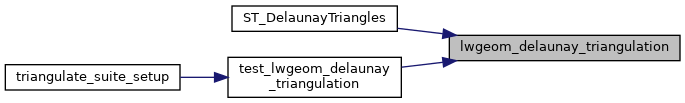
Referenced by ST_DelaunayTriangles(), and test_lwgeom_delaunay_triangulation().

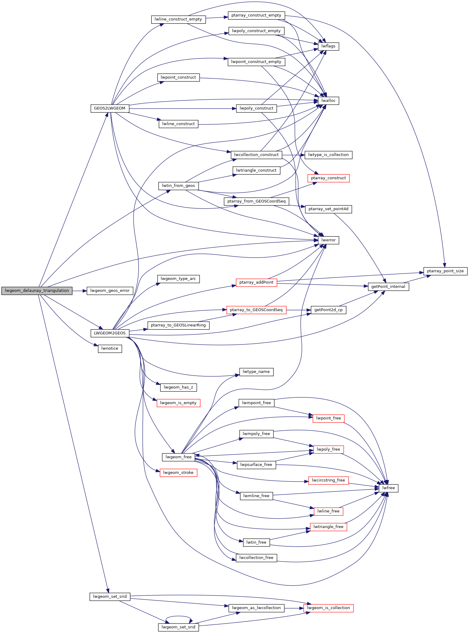
Here is the call graph for this function:
Here is the caller graph for this function: