◆ sphere_project()
| int sphere_project | ( | const GEOGRAPHIC_POINT * | r, |
| double | distance, | ||
| double | azimuth, | ||
| GEOGRAPHIC_POINT * | n | ||
| ) |
Given a starting location r, a distance and an azimuth to the new point, compute the location of the projected point on the unit sphere.
Definition at line 1320 of file lwgeodetic.c.
References distance(), FP_EQUALS, GEOGRAPHIC_POINT::lat, GEOGRAPHIC_POINT::lon, LW_FAILURE, LW_SUCCESS, and r.
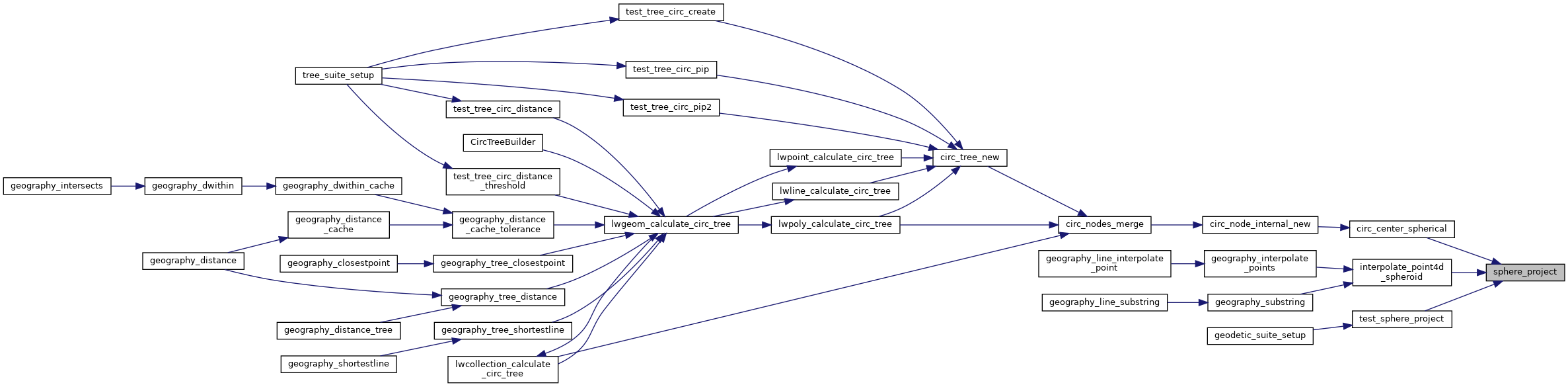
Referenced by circ_center_spherical(), interpolate_point4d_spheroid(), and test_sphere_project().
Here is the call graph for this function:

Here is the caller graph for this function: