◆ lwgeom_to_geojson()
| lwvarlena_t* lwgeom_to_geojson | ( | const LWGEOM * | geo, |
| const char * | srs, | ||
| int | precision, | ||
| int | has_bbox | ||
| ) |
Takes a GEOMETRY and returns a GeoJson representation.
Definition at line 49 of file lwout_geojson.c.
int lwgeom_calculate_gbox_cartesian(const LWGEOM *lwgeom, GBOX *gbox)
Calculate the 2-4D bounding box of a geometry.
Definition: gbox.c:740
const char * lwtype_name(uint8_t type)
Return the type name string associated with a type number (e.g.
Definition: lwutil.c:216
static lwvarlena_t * asgeojson_multipolygon(const LWMPOLY *mpoly, const char *srs, GBOX *bbox, int precision)
static lwvarlena_t * asgeojson_triangle(const LWTRIANGLE *tri, const char *srs, GBOX *bbox, int precision)
static lwvarlena_t * asgeojson_point(const LWPOINT *point, const char *srs, GBOX *bbox, int precision)
Definition: lwout_geojson.c:203
static lwvarlena_t * asgeojson_poly(const LWPOLY *poly, const char *srs, GBOX *bbox, int precision)
static lwvarlena_t * asgeojson_line(const LWLINE *line, const char *srs, GBOX *bbox, int precision)
static lwvarlena_t * asgeojson_multipoint(const LWMPOINT *mpoint, const char *srs, GBOX *bbox, int precision)
static lwvarlena_t * asgeojson_collection(const LWCOLLECTION *col, const char *srs, GBOX *bbox, int precision)
static lwvarlena_t * asgeojson_multiline(const LWMLINE *mline, const char *srs, GBOX *bbox, int precision)
Definition: liblwgeom.h:367
Definition: liblwgeom.h:588
Definition: liblwgeom.h:496
Definition: liblwgeom.h:560
Definition: liblwgeom.h:546
Definition: liblwgeom.h:574
Definition: liblwgeom.h:484
Definition: liblwgeom.h:532
Definition: liblwgeom.h:508
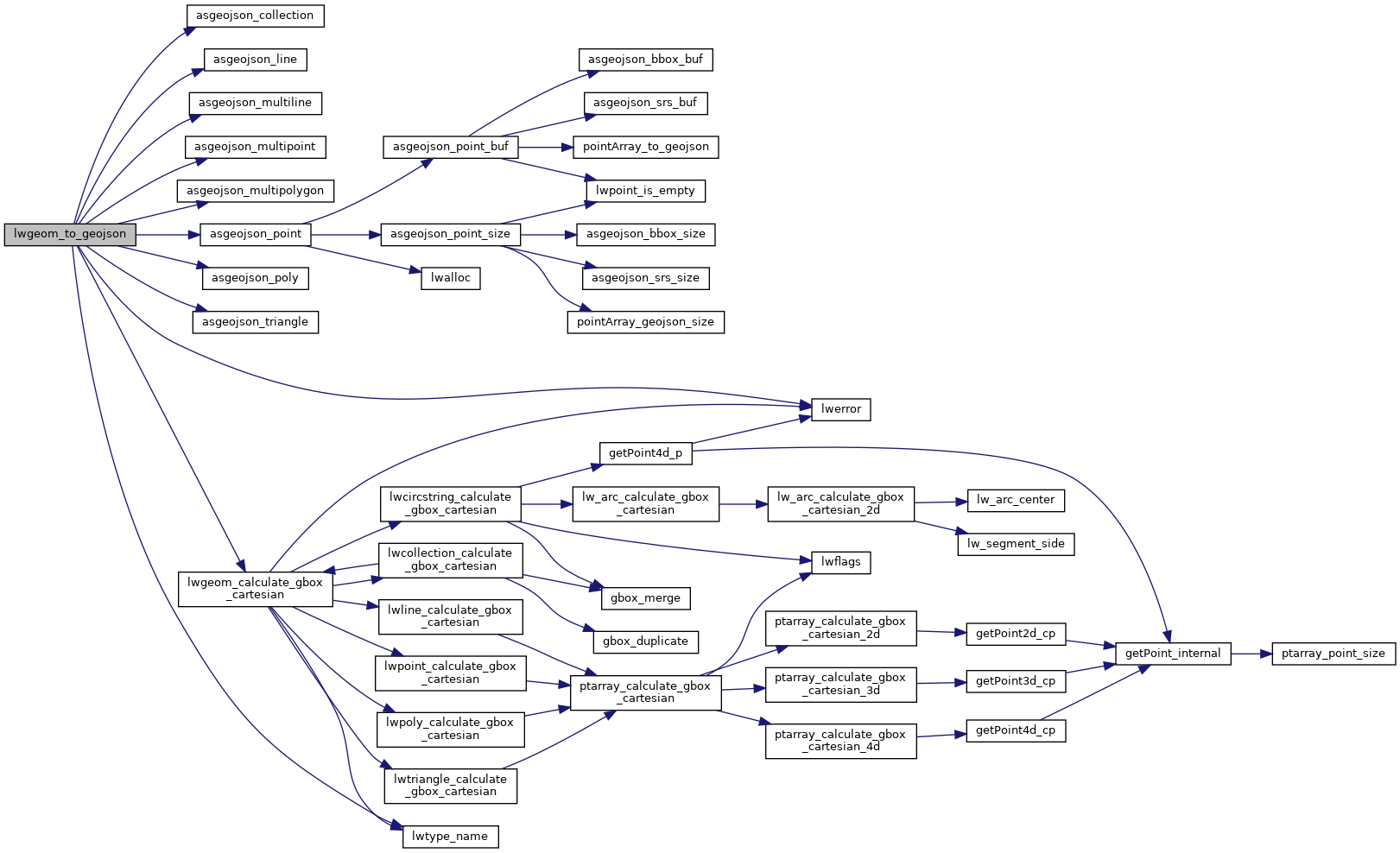
References asgeojson_collection(), asgeojson_line(), asgeojson_multiline(), asgeojson_multipoint(), asgeojson_multipolygon(), asgeojson_point(), asgeojson_poly(), asgeojson_triangle(), COLLECTIONTYPE, LINETYPE, lwerror(), lwgeom_calculate_gbox_cartesian(), lwtype_name(), MULTILINETYPE, MULTIPOINTTYPE, MULTIPOLYGONTYPE, POINTTYPE, POLYGONTYPE, precision, TINTYPE, TRIANGLETYPE, LWGEOM::type, and ovdump::type.
Referenced by do_geojson_test(), do_geojson_unsupported(), geography_as_geojson(), geometry_to_json(), geometry_to_jsonb(), and LWGEOM_asGeoJson().
Here is the call graph for this function:
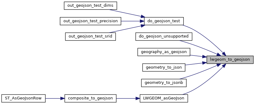
Here is the caller graph for this function: