Create a new empty raster with having the same georeference as the provided raster
If this new raster is empty (width = 0 OR height = 0) then there is nothing to compute and we return it right now
Check if the raster has the required band. Otherwise, return a raster without band
We set the initial value of the future band to nodata value. If nodata value is null, then the raster will be initialized to rt_band_get_min_value but all the values should be recomputed anyway
Optimization: If the raster is only filled with nodata values return right now a raster filled with the nodatavalueexpr TODO: Call rt_band_check_isnodata instead?
Create the raster receiving all the computed values. Initialize it to the new initial value
We compute a value only for the withdata value pixel since the nodata value has already been set by the first optimization
5130 int x,
y,
nband, width, height;
5132 double newnodatavalue = 0.0;
5133 double newinitialvalue = 0.0;
5134 double newval = 0.0;
5139 #if POSTGIS_PGSQL_VERSION < 120
5140 FunctionCallInfoData cbdata;
5142 LOCAL_FCINFO(cbdata, FUNC_MAX_ARGS);
5145 char * strFromText = NULL;
5151 if (PG_ARGISNULL(0)) {
5152 elog(WARNING,
"Raster is NULL. Returning NULL");
5158 pgraster = (
rt_pgraster *)PG_DETOAST_DATUM(PG_GETARG_DATUM(0));
5161 PG_FREE_IF_COPY(pgraster, 0);
5162 elog(ERROR,
"RASTER_mapAlgebraFct: Could not deserialize raster");
5170 if (PG_ARGISNULL(1))
5173 nband = PG_GETARG_INT32(1);
5189 if ( NULL == newrast ) {
5192 PG_FREE_IF_COPY(pgraster, 0);
5194 elog(ERROR,
"RASTER_mapAlgebraFct: Could not create a new raster");
5219 elog(NOTICE,
"Raster is empty. Returning an empty raster");
5221 PG_FREE_IF_COPY(pgraster, 0);
5225 if (NULL == pgrtn) {
5226 elog(ERROR,
"RASTER_mapAlgebraFct: Could not serialize raster");
5230 SET_VARSIZE(pgrtn, pgrtn->
size);
5231 PG_RETURN_POINTER(pgrtn);
5241 elog(NOTICE,
"Raster does not have the required band. Returning a raster "
5244 PG_FREE_IF_COPY(pgraster, 0);
5248 if (NULL == pgrtn) {
5249 elog(ERROR,
"RASTER_mapAlgebraFct: Could not serialize raster");
5253 SET_VARSIZE(pgrtn, pgrtn->
size);
5254 PG_RETURN_POINTER(pgrtn);
5259 if ( NULL ==
band ) {
5260 elog(NOTICE,
"Could not get the required band. Returning a raster "
5263 PG_FREE_IF_COPY(pgraster, 0);
5267 if (NULL == pgrtn) {
5268 elog(ERROR,
"RASTER_mapAlgebraFct: Could not serialize raster");
5272 SET_VARSIZE(pgrtn, pgrtn->
size);
5273 PG_RETURN_POINTER(pgrtn);
5279 POSTGIS_RT_DEBUG(3,
"RASTER_mapAlgebraFct: Getting NODATA value for band...");
5296 newinitialvalue = newnodatavalue;
5303 if (PG_ARGISNULL(2)) {
5308 strFromText = text_to_cstring(PG_GETARG_TEXT_P(2));
5311 if (newpixeltype ==
PT_END)
5315 if (newpixeltype ==
PT_END) {
5318 PG_FREE_IF_COPY(pgraster, 0);
5321 elog(ERROR,
"RASTER_mapAlgebraFct: Invalid pixeltype");
5329 if (PG_ARGISNULL(3)) {
5332 PG_FREE_IF_COPY(pgraster, 0);
5335 elog(ERROR,
"RASTER_mapAlgebraFct: Required function is missing. Returning NULL");
5339 oid = PG_GETARG_OID(3);
5340 if (oid == InvalidOid) {
5343 PG_FREE_IF_COPY(pgraster, 0);
5346 elog(ERROR,
"RASTER_mapAlgebraFct: Got invalid function object id. Returning NULL");
5350 fmgr_info(oid, &cbinfo);
5353 if (cbinfo.fn_retset) {
5356 PG_FREE_IF_COPY(pgraster, 0);
5359 elog(ERROR,
"RASTER_mapAlgebraFct: Function provided must return double precision not resultset");
5363 else if (cbinfo.fn_nargs < 2 || cbinfo.fn_nargs > 3) {
5366 PG_FREE_IF_COPY(pgraster, 0);
5369 elog(ERROR,
"RASTER_mapAlgebraFct: Function does not have two or three input parameters");
5373 if (cbinfo.fn_nargs == 2)
5378 if (func_volatile(oid) ==
'v') {
5379 elog(NOTICE,
"Function provided is VOLATILE. Unless required and for best performance, function should be IMMUTABLE or STABLE");
5383 #if POSTGIS_PGSQL_VERSION < 120
5384 InitFunctionCallInfoData(cbdata, &cbinfo, 2, InvalidOid, NULL, NULL);
5386 cbdata.argnull[0] =
FALSE;
5387 cbdata.argnull[1] =
FALSE;
5388 cbdata.argnull[2] =
FALSE;
5390 InitFunctionCallInfoData(*cbdata, &cbinfo, 2, InvalidOid, NULL, NULL);
5392 cbdata->args[0].isnull =
FALSE;
5393 cbdata->args[1].isnull =
FALSE;
5394 cbdata->args[2].isnull =
FALSE;
5398 if (PG_ARGISNULL(4)) {
5399 if (cbinfo.fn_strict) {
5402 PG_FREE_IF_COPY(pgraster, 0);
5405 elog(ERROR,
"RASTER_mapAlgebraFct: Strict callback functions cannot have null parameters");
5409 #if POSTGIS_PGSQL_VERSION < 120
5410 cbdata.arg[k] = (Datum)NULL;
5411 cbdata.argnull[k] =
TRUE;
5413 cbdata->args[k].value = (Datum)NULL;
5414 cbdata->args[k].isnull =
TRUE;
5418 #if POSTGIS_PGSQL_VERSION < 120
5419 cbdata.arg[k] = PG_GETARG_DATUM(4);
5421 cbdata->args[k].value = PG_GETARG_DATUM(4);
5432 POSTGIS_RT_DEBUG(3,
"RASTER_mapAlgebraFct: Band is a nodata band, returning "
5433 "a raster filled with nodata");
5436 newinitialvalue,
TRUE, newnodatavalue, 0);
5439 PG_FREE_IF_COPY(pgraster, 0);
5444 if (NULL == pgrtn) {
5445 elog(ERROR,
"RASTER_mapAlgebraFct: Could not serialize raster");
5449 SET_VARSIZE(pgrtn, pgrtn->
size);
5450 PG_RETURN_POINTER(pgrtn);
5459 newinitialvalue,
TRUE, newnodatavalue, 0);
5463 if ( NULL == newband ) {
5464 elog(NOTICE,
"Could not modify band for new raster. Returning new "
5465 "raster with the original band");
5468 PG_FREE_IF_COPY(pgraster, 0);
5473 if (NULL == pgrtn) {
5474 elog(ERROR,
"RASTER_mapAlgebraFct: Could not serialize raster");
5478 SET_VARSIZE(pgrtn, pgrtn->
size);
5479 PG_RETURN_POINTER(pgrtn);
5485 for (
x = 0;
x < width;
x++) {
5486 for(
y = 0;
y < height;
y++) {
5494 if (
FLT_EQ(
r, newnodatavalue)) {
5495 if (cbinfo.fn_strict) {
5496 POSTGIS_RT_DEBUG(3,
"RASTER_mapAlgebraFct: Strict callbacks cannot accept NULL arguments, skipping NODATA cell.");
5499 #if POSTGIS_PGSQL_VERSION < 120
5500 cbdata.argnull[0] =
TRUE;
5501 cbdata.arg[0] = (Datum)NULL;
5503 cbdata->args[0].isnull =
TRUE;
5504 cbdata->args[0].value = (Datum)NULL;
5508 #if POSTGIS_PGSQL_VERSION < 120
5509 cbdata.argnull[0] =
FALSE;
5510 cbdata.arg[0] = Float8GetDatum(
r);
5512 cbdata->args[0].isnull =
FALSE;
5513 cbdata->args[0].value = Float8GetDatum(
r);
5518 if (cbinfo.fn_nargs == 3) {
5522 d[0] = Int32GetDatum(
x+1);
5523 d[1] = Int32GetDatum(
y+1);
5525 a = construct_array(d, 2, INT4OID,
sizeof(
int32),
true,
'i');
5527 #if POSTGIS_PGSQL_VERSION < 120
5528 cbdata.argnull[1] =
FALSE;
5529 cbdata.arg[1] = PointerGetDatum(a);
5531 cbdata->args[1].isnull =
FALSE;
5532 cbdata->args[1].value = PointerGetDatum(a);
5539 #if POSTGIS_PGSQL_VERSION < 120
5540 tmpnewval = FunctionCallInvoke(&cbdata);
5542 if (cbdata.isnull) {
5543 newval = newnodatavalue;
5546 tmpnewval = FunctionCallInvoke(cbdata);
5550 newval = newnodatavalue;
5554 newval = DatumGetFloat8(tmpnewval);
5568 POSTGIS_RT_DEBUG(3,
"RASTER_mapAlgebraFct: raster modified, serializing it.");
5572 PG_FREE_IF_COPY(pgraster, 0);
5583 SET_VARSIZE(pgrtn, pgrtn->
size);
5584 PG_RETURN_POINTER(pgrtn);
int32_t rt_raster_get_srid(rt_raster raster)
Get raster's SRID.
double rt_raster_get_x_skew(rt_raster raster)
Get skew about the X axis.
double rt_raster_get_x_offset(rt_raster raster)
Get raster x offset, in projection units.
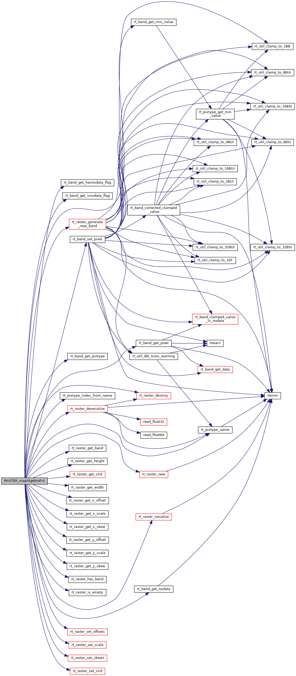
int rt_raster_generate_new_band(rt_raster raster, rt_pixtype pixtype, double initialvalue, uint32_t hasnodata, double nodatavalue, int index)
Generate a new inline band and add it to a raster.
void rt_raster_set_scale(rt_raster raster, double scaleX, double scaleY)
Set scale in projection units.
int rt_band_get_hasnodata_flag(rt_band band)
Get hasnodata flag value.
rt_pixtype rt_pixtype_index_from_name(const char *pixname)
rt_errorstate rt_band_get_pixel(rt_band band, int x, int y, double *value, int *nodata)
Get pixel value.
void rt_raster_destroy(rt_raster raster)
Release memory associated to a raster.
void rt_raster_set_skews(rt_raster raster, double skewX, double skewY)
Set skews about the X and Y axis.
int rt_band_get_isnodata_flag(rt_band band)
Get isnodata flag value.
rt_raster rt_raster_new(uint32_t width, uint32_t height)
Construct a raster with given dimensions.
int rt_raster_has_band(rt_raster raster, int nband)
Return TRUE if the raster has a band of this number.
void * rt_raster_serialize(rt_raster raster)
Return this raster in serialized form.
double rt_raster_get_x_scale(rt_raster raster)
Get scale X in projection units.
double rt_band_get_min_value(rt_band band)
Returns the minimal possible value for the band according to the pixel type.
rt_errorstate rt_band_set_pixel(rt_band band, int x, int y, double val, int *converted)
Set single pixel's value.
uint16_t rt_raster_get_height(rt_raster raster)
void rt_raster_set_srid(rt_raster raster, int32_t srid)
Set raster's SRID.
rt_errorstate rt_band_get_nodata(rt_band band, double *nodata)
Get NODATA value.
rt_pixtype rt_band_get_pixtype(rt_band band)
Return pixeltype of this band.
const char * rt_pixtype_name(rt_pixtype pixtype)
uint16_t rt_raster_get_width(rt_raster raster)
double rt_raster_get_y_scale(rt_raster raster)
Get scale Y in projection units.
double rt_raster_get_y_skew(rt_raster raster)
Get skew about the Y axis.
void rt_raster_set_offsets(rt_raster raster, double x, double y)
Set insertion points in projection units.
rt_raster rt_raster_deserialize(void *serialized, int header_only)
Return a raster from a serialized form.
double rt_raster_get_y_offset(rt_raster raster)
Get raster y offset, in projection units.
int rt_raster_is_empty(rt_raster raster)
Return TRUE if the raster is empty.
rt_band rt_raster_get_band(rt_raster raster, int bandNum)
Return Nth band, or NULL if unavailable.
raster
Be careful!! Zeros function's input parameter can be a (height x width) array, not (width x height): ...
#define POSTGIS_RT_DEBUG(level, msg)
#define POSTGIS_RT_DEBUGF(level, msg,...)