◆ do_median_dims_check()
|
static |
Definition at line 1367 of file cu_algorithm.c.
int lwgeom_ndims(const LWGEOM *geom)
Return the number of dimensions (2, 3, 4) in a geometry.
Definition: lwgeom.c:955
LWGEOM * lwgeom_from_wkt(const char *wkt, const char check)
Definition: lwin_wkt.c:905
LWPOINT * lwgeom_median(const LWGEOM *g, double tol, uint32_t maxiter, char fail_if_not_converged)
Definition: lwgeom_median.c:280
Definition: liblwgeom.h:472
Definition: liblwgeom.h:484
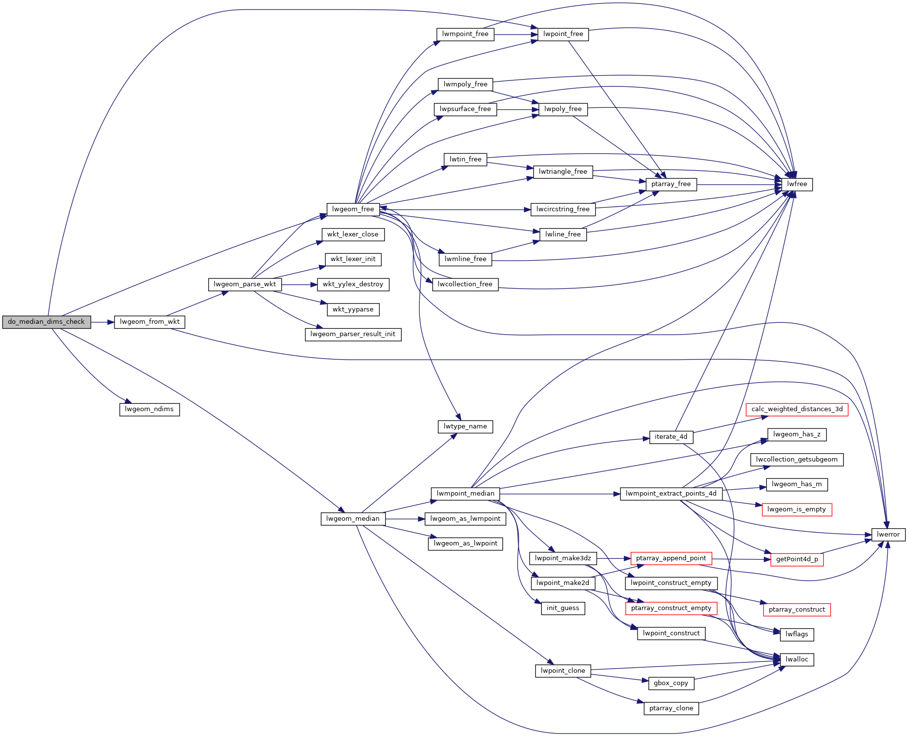
References LW_FALSE, LW_PARSER_CHECK_NONE, lwgeom_free(), lwgeom_from_wkt(), lwgeom_median(), lwgeom_ndims(), lwpoint_free(), and result.
Referenced by test_median_handles_3d_correctly().
Here is the call graph for this function:

Here is the caller graph for this function:
