◆ test_lwpoint_to_latlon_optional_format()
|
static |
Definition at line 205 of file cu_print.c.
213 test_lwpoint_to_latlon_assert_format("POINT(-45.4545 -12.34567)", "DD.DDD C", "12.346 S 45.455 W");
219 "POINT(-45.4545 -12.34567)", "DD.DDD MM.MMM SS.SSS", "-12.000 20.000 44.412 -45.000 27.000 16.200");
221 "POINT(-45.4545 -12.34567)", "DD.DDD MM.MMM SS.SSS C", "12.000 20.000 44.412 S 45.000 27.000 16.200 W");
static void test_lwpoint_to_latlon_assert_format(char *point_wkt, const char *format, const char *expected)
Definition: cu_print.c:21
References test_lwpoint_to_latlon_assert_format().
Referenced by print_suite_setup().
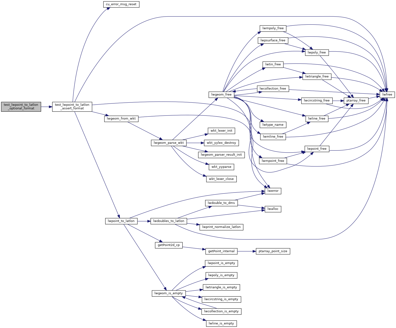
Here is the call graph for this function:

Here is the caller graph for this function:
