PostGIS  3.3.9dev-r@@SVN_REVISION@@

◆ parse_marc21()

static LWGEOM * parse_marc21 ( xmlNodePtr  xnode)
static

MARC21/XML documents must have <record> as top level element. https://www.loc.gov/standards/marcxml/xml/spy/spy.html

If the coordinates are given in terms of a center point rather than outside limits, the longitude and latitude which form the central axis are recorded twice (in subfields $d and $e and in $f and $g, respectively).

MARC21/XML Document has a <record> but no <datafield:034>

Definition at line 384 of file lwgeom_in_marc21.c.

384  {
385 
386  int ngeoms;
387  int i;
388  xmlNodePtr datafield;
389  xmlNodePtr subfield;
390  LWGEOM *result;
391  LWGEOM **lwgeoms = (LWGEOM**) lwalloc(sizeof(LWGEOM*));
392  uint8_t geometry_type;
393  uint8_t result_type;
394  char *code;
395  char *literal;
396 
397  POSTGIS_DEBUGF(2, "parse_marc21 called: root '<%s>'", xnode->name);
398 
404  if (!is_xml_element(xnode, "record"))
405  lwpgerror("invalid MARC21/XML document. Root element <record> expected but <%s> found.",xnode->name);
406 
407  result_type = 0;
408  ngeoms = 0;
409 
410  for (datafield = xnode->children; datafield != NULL; datafield = datafield->next) {
411 
412  char *lw = NULL;
413  char *le = NULL;
414  char *ln = NULL;
415  char *ls = NULL;
416 
417  if (datafield->type != XML_ELEMENT_NODE) continue;
418 
419  if (!is_xml_element(datafield, "datafield") || xmlStrcmp(xmlGetProp(datafield, (xmlChar*) "tag"),(xmlChar*) "034") != 0) continue;
420 
421  POSTGIS_DEBUG(3, " datafield found");
422 
423  for (subfield = datafield->children; subfield != NULL; subfield = subfield->next) {
424 
425  if (subfield->type != XML_ELEMENT_NODE) continue;
426  if (!is_xml_element(subfield, "subfield"))
427  continue;
428 
429  code = (char*) xmlGetProp(subfield, (xmlChar*) "code");
430 
431  if ((strcmp(code, "d") != 0 &&
432  strcmp(code, "e") != 0 &&
433  strcmp(code, "f") != 0 &&
434  strcmp(code, "g")) != 0)
435  continue;
436 
437  literal = (char*) xmlNodeGetContent(subfield);
438 
439  POSTGIS_DEBUGF(3, " subfield code '%s': %s", code, literal);
440 
441  if (is_literal_valid(literal) == LW_TRUE) {
442 
443  if (strcmp(code, "d") == 0) lw = literal;
444  else if (strcmp(code, "e") == 0) le = literal;
445  else if (strcmp(code, "f") == 0) ln = literal;
446  else if (strcmp(code, "g") == 0) ls = literal;
447 
448  } else {
449 
450  lwpgerror("parse error - invalid literal at 034$%s: \"%s\"", code, literal);
451 
452  }
453 
454  }
455 
456  xmlFreeNode(subfield);
457 
458  if (lw && le && ln && ls) {
459 
460  double w = parse_geo_literal(lw);
461  double e = parse_geo_literal(le);
462  double n = parse_geo_literal(ln);
463  double s = parse_geo_literal(ls);
464  geometry_type = 0;
465 
466  if (ngeoms > 0) lwgeoms = (LWGEOM**)
467  lwrealloc(lwgeoms, sizeof(LWGEOM*) * (ngeoms + 1));
468 
469  if (fabs(w - e) < 0.0000001f && fabs(n - s) < 0.0000001f) {
470 
477  lwgeoms[ngeoms] = (LWGEOM*) lwpoint_make2d(SRID_UNKNOWN, w, s);
478  geometry_type = MULTIPOINTTYPE;
479 
480  } else {
481 
482  lwgeoms[ngeoms] = (LWGEOM*) lwpoly_construct_envelope(SRID_UNKNOWN, w, n, e, s);
483  geometry_type = MULTIPOLYGONTYPE;
484 
485  }
486 
487  if (ngeoms && result_type != geometry_type) {
488  result_type = COLLECTIONTYPE;
489  } else {
490  result_type = geometry_type;
491  }
492 
493  ngeoms++;
494 
495  } else {
496 
497  if (lw || le || ln || ls) {
498 
499  lwpgerror("parse error - the Coded Cartographic Mathematical Data (datafield:034) in the given MARC21/XML is incomplete. Coordinates for subfields \"$d\",\"$e\",\"$f\" and \"$g\" are expected.");
500  }
501 
502  }
503 
504  }
505 
506  POSTGIS_DEBUG(5, " xmlFreeNode(datafield)");
507  xmlFreeNode(datafield);
508 
509  if (ngeoms == 1) {
510 
511  POSTGIS_DEBUGF(2, "=> parse_marc21 returns single geometry: %s",lwtype_name(lwgeom_get_type(lwgeoms[0])));
512  lwgeom_force_clockwise(lwgeoms[0]);
513  return lwgeoms[0];
514 
515  } else if (ngeoms > 1) {
516 
517  result = (LWGEOM*) lwcollection_construct_empty(result_type,SRID_UNKNOWN, 0, 0);
518 
519  for (i = 0; i < ngeoms; i++) {
520 
521  POSTGIS_DEBUGF(3, " adding geometry to result set: %s",lwtype_name(lwgeom_get_type(lwgeoms[i])));
522  lwgeom_force_clockwise(lwgeoms[i]);
524 
525  }
526 
527  POSTGIS_DEBUGF(2, "=> parse_marc21 returns a collection: %s", lwtype_name(lwgeom_get_type(result)));
528  return result;
529 
530  }
531 
535  POSTGIS_DEBUG(2, "=> parse_marc21 returns NULL");
536  return NULL;
537 
538 }
char * s
Definition: cu_in_wkt.c:23
static char * w
Definition: cu_out_twkb.c:25
char result[OUT_DOUBLE_BUFFER_SIZE]
Definition: cu_print.c:267
#define COLLECTIONTYPE
Definition: liblwgeom.h:123
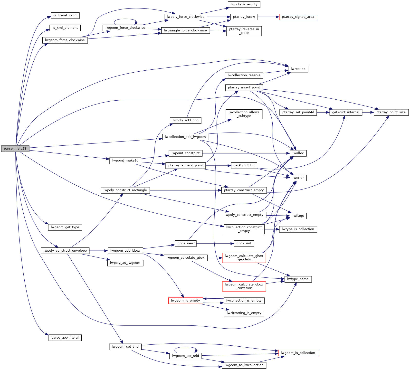
LWPOINT * lwpoint_make2d(int32_t srid, double x, double y)
Definition: lwpoint.c:163
#define MULTIPOINTTYPE
Definition: liblwgeom.h:120
LWPOLY * lwpoly_construct_envelope(int32_t srid, double x1, double y1, double x2, double y2)
Definition: lwpoly.c:98
#define MULTIPOLYGONTYPE
Definition: liblwgeom.h:122
void * lwrealloc(void *mem, size_t size)
Definition: lwutil.c:235
LWCOLLECTION * lwcollection_construct_empty(uint8_t type, int32_t srid, char hasz, char hasm)
Definition: lwcollection.c:92
const char * lwtype_name(uint8_t type)
Return the type name string associated with a type number (e.g.
Definition: lwutil.c:216
void lwgeom_force_clockwise(LWGEOM *lwgeom)
Force Right-hand-rule on LWGEOM polygons.
Definition: lwgeom.c:38
LWCOLLECTION * lwcollection_add_lwgeom(LWCOLLECTION *col, const LWGEOM *geom)
Appends geom to the collection managed by col.
Definition: lwcollection.c:188
void * lwalloc(size_t size)
Definition: lwutil.c:227
#define LW_TRUE
Return types for functions with status returns.
Definition: liblwgeom.h:108
#define SRID_UNKNOWN
Unknown SRID value.
Definition: liblwgeom.h:230
static bool is_xml_element(xmlNodePtr xn, const char *xml_name)
static double parse_geo_literal(char *literal)
static int is_literal_valid(const char *literal)
static uint32_t lwgeom_get_type(const LWGEOM *geom)
Return LWTYPE number.
Definition: lwinline.h:145

References COLLECTIONTYPE, is_literal_valid(), is_xml_element(), LW_TRUE, lwalloc(), lwcollection_add_lwgeom(), lwcollection_construct_empty(), lwgeom_force_clockwise(), lwgeom_get_type(), lwpoint_make2d(), lwpoly_construct_envelope(), lwrealloc(), lwtype_name(), MULTIPOINTTYPE, MULTIPOLYGONTYPE, parse_geo_literal(), result, s, SRID_UNKNOWN, and w.

Referenced by ST_GeomFromMARC21().

Here is the call graph for this function:
Here is the caller graph for this function: