◆ cluster_within_distance()
| int cluster_within_distance | ( | LWGEOM ** | geoms, |
| uint32_t | num_geoms, | ||
| double | tolerance, | ||
| LWGEOM *** | clusterGeoms, | ||
| uint32_t * | num_clusters | ||
| ) |
Takes an array of LWGEOM* and constructs an array of LWGEOM*, where each element in the constructed array is a GeometryCollection representing a set of geometries separated by no more than the specified tolerance.
Caller is responsible for freeing the input array, but not the LWGEOM* items inside it.
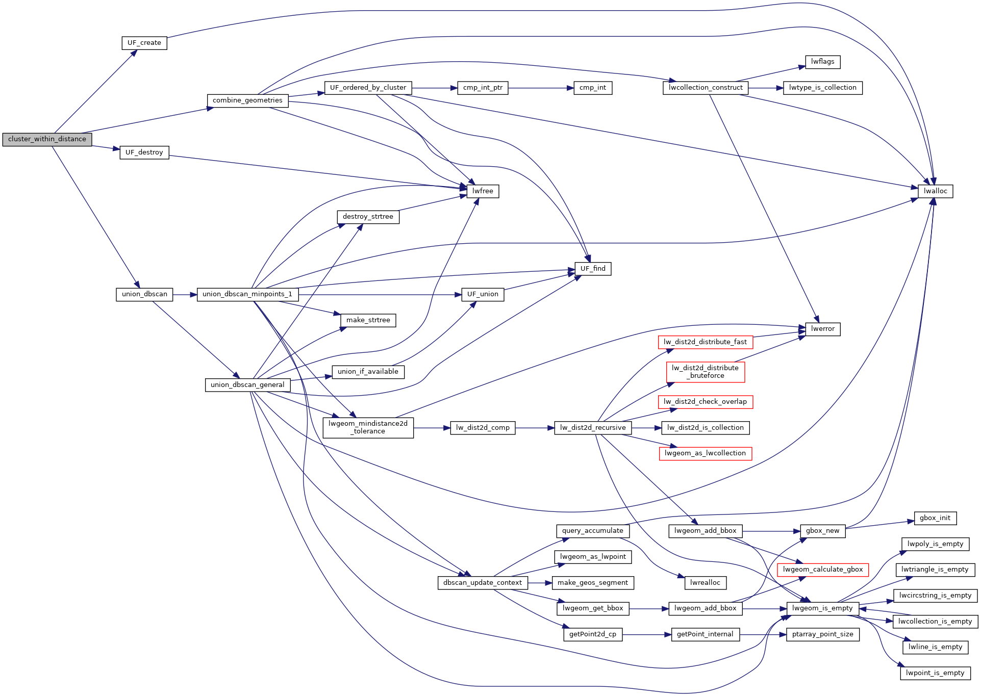
Definition at line 541 of file lwgeom_geos_cluster.c.
552 cluster_success = combine_geometries(uf, (void**) geoms, num_geoms, (void***) clusterGeoms, num_clusters, 1);
int union_dbscan(LWGEOM **geoms, uint32_t num_geoms, UNIONFIND *uf, double eps, uint32_t min_points, char **in_a_cluster_ret)
Definition: lwgeom_geos_cluster.c:529
static int combine_geometries(UNIONFIND *uf, void **geoms, uint32_t num_geoms, void ***clustersGeoms, uint32_t *num_clusters, char is_lwgeom)
Uses a UNIONFIND to identify the set with which each input geometry is associated,...
Definition: lwgeom_geos_cluster.c:561
Definition: lwunionfind.h:32
References combine_geometries(), LW_FAILURE, UF_create(), UF_destroy(), and union_dbscan().
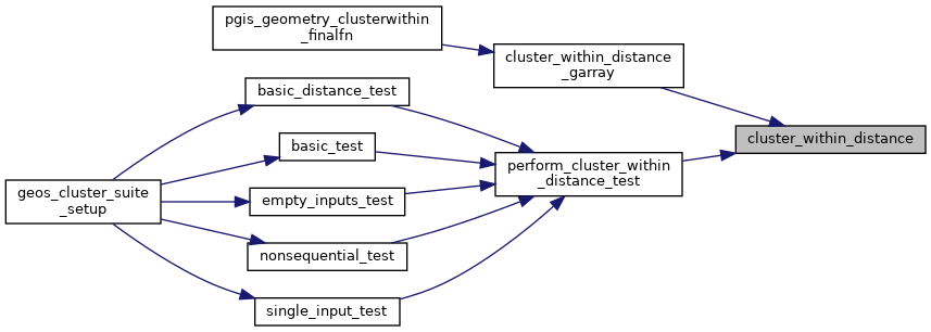
Referenced by cluster_within_distance_garray(), and perform_cluster_within_distance_test().
Here is the call graph for this function:
Here is the caller graph for this function: