◆ ARRAY2LWGEOM()
| LWGEOM** ARRAY2LWGEOM | ( | ArrayType * | array, |
| uint32_t | nelems, | ||
| int * | is3d, | ||
| int * | srid | ||
| ) |
Definition at line 2779 of file postgis/lwgeom_geos.c.
void gserialized_error_if_srid_mismatch_reference(const GSERIALIZED *g1, const int32_t srid2, const char *funcname)
Definition: gserialized.c:418
int32_t gserialized_get_srid(const GSERIALIZED *g)
Extract the SRID from the serialized form (it is packed into three bytes so this is a handy function)...
Definition: gserialized.c:126
LWGEOM * lwgeom_from_gserialized(const GSERIALIZED *g)
Allocate a new LWGEOM from a GSERIALIZED.
Definition: gserialized.c:239
int gserialized_has_z(const GSERIALIZED *g)
Check if a GSERIALIZED has a Z ordinate.
Definition: gserialized.c:174
Definition: liblwgeom.h:458
Definition: liblwgeom.h:472
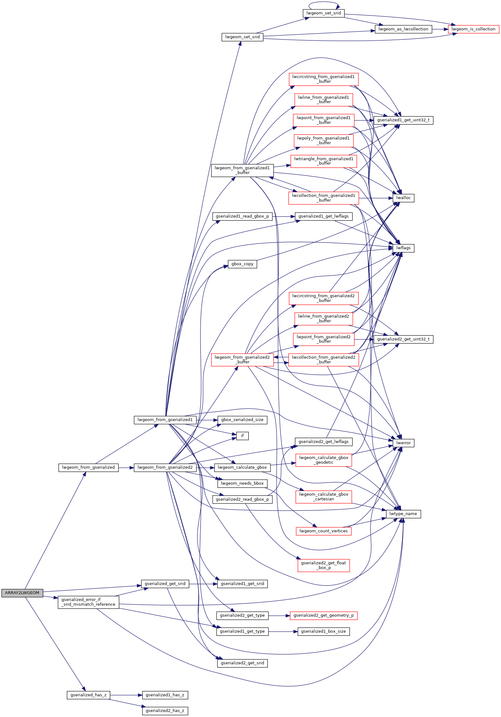
References gserialized_error_if_srid_mismatch_reference(), gserialized_get_srid(), gserialized_has_z(), lwgeom_from_gserialized(), and genraster::value.
Referenced by cluster_within_distance_garray().
Here is the call graph for this function:

Here is the caller graph for this function:
