◆ ST_MaximumInscribedCircle()
| Datum ST_MaximumInscribedCircle | ( | PG_FUNCTION_ARGS | ) |
Definition at line 341 of file postgis/lwgeom_geos.c.
374 LWGEOM* lwcenter = (LWGEOM*) lwpoint_construct_empty(gserialized_get_srid(geom), LW_FALSE, LW_FALSE);
375 LWGEOM* lwnearest = (LWGEOM*) lwpoint_construct_empty(gserialized_get_srid(geom), LW_FALSE, LW_FALSE);
int32_t gserialized_get_srid(const GSERIALIZED *g)
Extract the SRID from the serialized form (it is packed into three bytes so this is a handy function)...
Definition: gserialized.c:126
int gserialized_get_gbox_p(const GSERIALIZED *g, GBOX *gbox)
Read the box from the GSERIALIZED or calculate it if necessary.
Definition: gserialized.c:65
LWGEOM * lwgeom_from_gserialized(const GSERIALIZED *g)
Allocate a new LWGEOM from a GSERIALIZED.
Definition: gserialized.c:239
int gserialized_is_empty(const GSERIALIZED *g)
Check if a GSERIALIZED is empty without deserializing first.
Definition: gserialized.c:152
int gserialized_has_z(const GSERIALIZED *g)
Check if a GSERIALIZED has a Z ordinate.
Definition: gserialized.c:174
uint32_t gserialized_get_type(const GSERIALIZED *g)
Extract the geometry type from the serialized form (it hides in the anonymous data area,...
Definition: gserialized.c:89
LWPOINT * lwpoint_construct_empty(int32_t srid, char hasz, char hasm)
Definition: lwpoint.c:151
int lwgeom_isfinite(const LWGEOM *lwgeom)
Check if a LWGEOM has any non-finite (NaN or Inf) coordinates.
Definition: lwgeom.c:2707
GSERIALIZED * GEOS2POSTGIS(GEOSGeom geom, char want3d)
Definition: postgis/lwgeom_geos.c:2723
GEOSGeometry * POSTGIS2GEOS(const GSERIALIZED *pglwgeom)
Definition: postgis/lwgeom_geos.c:2748
Definition: liblwgeom.h:367
Definition: liblwgeom.h:458
Definition: liblwgeom.h:472
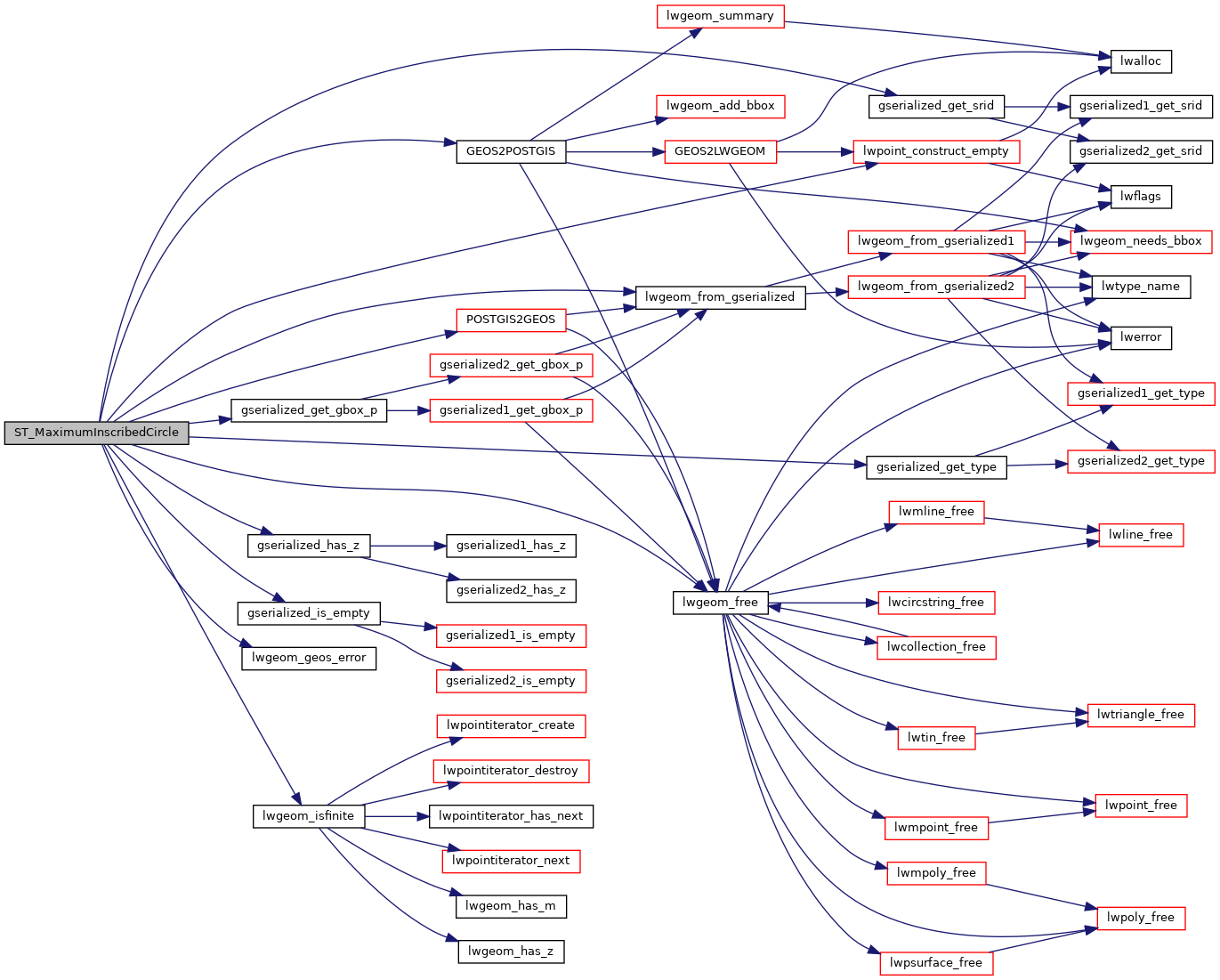
References GEOS2POSTGIS(), gserialized_get_gbox_p(), gserialized_get_srid(), gserialized_get_type(), gserialized_has_z(), gserialized_is_empty(), HANDLE_GEOS_ERROR, LW_FALSE, lwgeom_free(), lwgeom_from_gserialized(), lwgeom_geos_error(), lwgeom_isfinite(), lwpoint_construct_empty(), MULTIPOLYGONTYPE, POLYGONTYPE, POSTGIS2GEOS(), POSTGIS_GEOS_VERSION, result, SRID_UNKNOWN, GBOX::xmax, GBOX::xmin, GBOX::ymax, and GBOX::ymin.
Here is the call graph for this function: