PostGIS  3.3.9dev-r@@SVN_REVISION@@

◆ contains()

Datum contains ( PG_FUNCTION_ARGS  )

Definition at line 1745 of file postgis/lwgeom_geos.c.

1746 {
1747  SHARED_GSERIALIZED *shared_geom1 = ToastCacheGetGeometry(fcinfo, 0);
1748  SHARED_GSERIALIZED *shared_geom2 = ToastCacheGetGeometry(fcinfo, 1);
1749  const GSERIALIZED *geom1 = shared_gserialized_get(shared_geom1);
1750  const GSERIALIZED *geom2 = shared_gserialized_get(shared_geom2);
1751  int result;
1752  GEOSGeometry *g1, *g2;
1753  GBOX box1, box2;
1754  PrepGeomCache *prep_cache;
1755  gserialized_error_if_srid_mismatch(geom1, geom2, __func__);
1756 
1757  /* A.Contains(Empty) == FALSE */
1758  if (gserialized_is_empty(geom1) || gserialized_is_empty(geom2))
1759  PG_RETURN_BOOL(false);
1760 
1761  POSTGIS_DEBUG(3, "contains called.");
1762 
1763  /*
1764  ** short-circuit 1: if geom2 bounding box is not completely inside
1765  ** geom1 bounding box we can return FALSE.
1766  */
1767  if (gserialized_get_gbox_p(geom1, &box1) &&
1768  gserialized_get_gbox_p(geom2, &box2))
1769  {
1770  if (!gbox_contains_2d(&box1, &box2))
1771  PG_RETURN_BOOL(false);
1772  }
1773 
1774  /*
1775  ** short-circuit 2: if geom2 is a point and geom1 is a polygon
1776  ** call the point-in-polygon function.
1777  */
1778  if (is_poly(geom1) && is_point(geom2))
1779  {
1780  SHARED_GSERIALIZED *shared_gpoly = is_poly(geom1) ? shared_geom1 : shared_geom2;
1781  SHARED_GSERIALIZED *shared_gpoint = is_point(geom1) ? shared_geom1 : shared_geom2;
1782  const GSERIALIZED *gpoly = shared_gserialized_get(shared_gpoly);
1783  const GSERIALIZED *gpoint = shared_gserialized_get(shared_gpoint);
1784  RTREE_POLY_CACHE *cache = GetRtreeCache(fcinfo, shared_gpoly);
1785  int retval;
1786 
1787  POSTGIS_DEBUG(3, "Point in Polygon test requested...short-circuiting.");
1788  if (gserialized_get_type(gpoint) == POINTTYPE)
1789  {
1790  LWGEOM* point = lwgeom_from_gserialized(gpoint);
1791  int pip_result = pip_short_circuit(cache, lwgeom_as_lwpoint(point), gpoly);
1792  lwgeom_free(point);
1793 
1794  retval = (pip_result == 1); /* completely inside */
1795  }
1796  else if (gserialized_get_type(gpoint) == MULTIPOINTTYPE)
1797  {
1799  int found_completely_inside = LW_FALSE;
1800 
1801  retval = LW_TRUE;
1802  for (uint32_t i = 0; i < mpoint->ngeoms; i++)
1803  {
1804  int pip_result;
1805  LWPOINT* pt = mpoint->geoms[i];
1806  /* We need to find at least one point that's completely inside the
1807  * polygons (pip_result == 1). As long as we have one point that's
1808  * completely inside, we can have as many as we want on the boundary
1809  * itself. (pip_result == 0)
1810  */
1811  if (lwpoint_is_empty(pt)) continue;
1812  pip_result = pip_short_circuit(cache, pt, gpoly);
1813  if (pip_result == 1)
1814  found_completely_inside = LW_TRUE;
1815 
1816  if (pip_result == -1) /* completely outside */
1817  {
1818  retval = LW_FALSE;
1819  break;
1820  }
1821  }
1822 
1823  retval = retval && found_completely_inside;
1824  lwmpoint_free(mpoint);
1825  }
1826  else
1827  {
1828  /* Never get here */
1829  elog(ERROR,"Type isn't point or multipoint!");
1830  PG_RETURN_BOOL(false);
1831  }
1832 
1833  return retval > 0;
1834  }
1835  else
1836  {
1837  POSTGIS_DEBUGF(3, "Contains: type1: %d, type2: %d", gserialized_get_type(geom1), gserialized_get_type(geom2));
1838  }
1839 
1840  initGEOS(lwpgnotice, lwgeom_geos_error);
1841 
1842  prep_cache = GetPrepGeomCache(fcinfo, shared_geom1, NULL);
1843 
1844  if ( prep_cache && prep_cache->prepared_geom && prep_cache->gcache.argnum == 1 )
1845  {
1846  g1 = POSTGIS2GEOS(geom2);
1847  if (!g1)
1848  HANDLE_GEOS_ERROR("Geometry could not be converted to GEOS");
1849 
1850  POSTGIS_DEBUG(4, "containsPrepared: cache is live, running preparedcontains");
1851  result = GEOSPreparedContains( prep_cache->prepared_geom, g1);
1852  GEOSGeom_destroy(g1);
1853  }
1854  else
1855  {
1856  g1 = POSTGIS2GEOS(geom1);
1857  if (!g1) HANDLE_GEOS_ERROR("First argument geometry could not be converted to GEOS");
1858  g2 = POSTGIS2GEOS(geom2);
1859  if (!g2)
1860  {
1861  HANDLE_GEOS_ERROR("Second argument geometry could not be converted to GEOS");
1862  GEOSGeom_destroy(g1);
1863  }
1864  POSTGIS_DEBUG(4, "containsPrepared: cache is not ready, running standard contains");
1865  result = GEOSContains( g1, g2);
1866  GEOSGeom_destroy(g1);
1867  GEOSGeom_destroy(g2);
1868  }
1869 
1870  if (result == 2) HANDLE_GEOS_ERROR("GEOSContains");
1871 
1872  PG_RETURN_BOOL(result > 0);
1873 }
char result[OUT_DOUBLE_BUFFER_SIZE]
Definition: cu_print.c:267
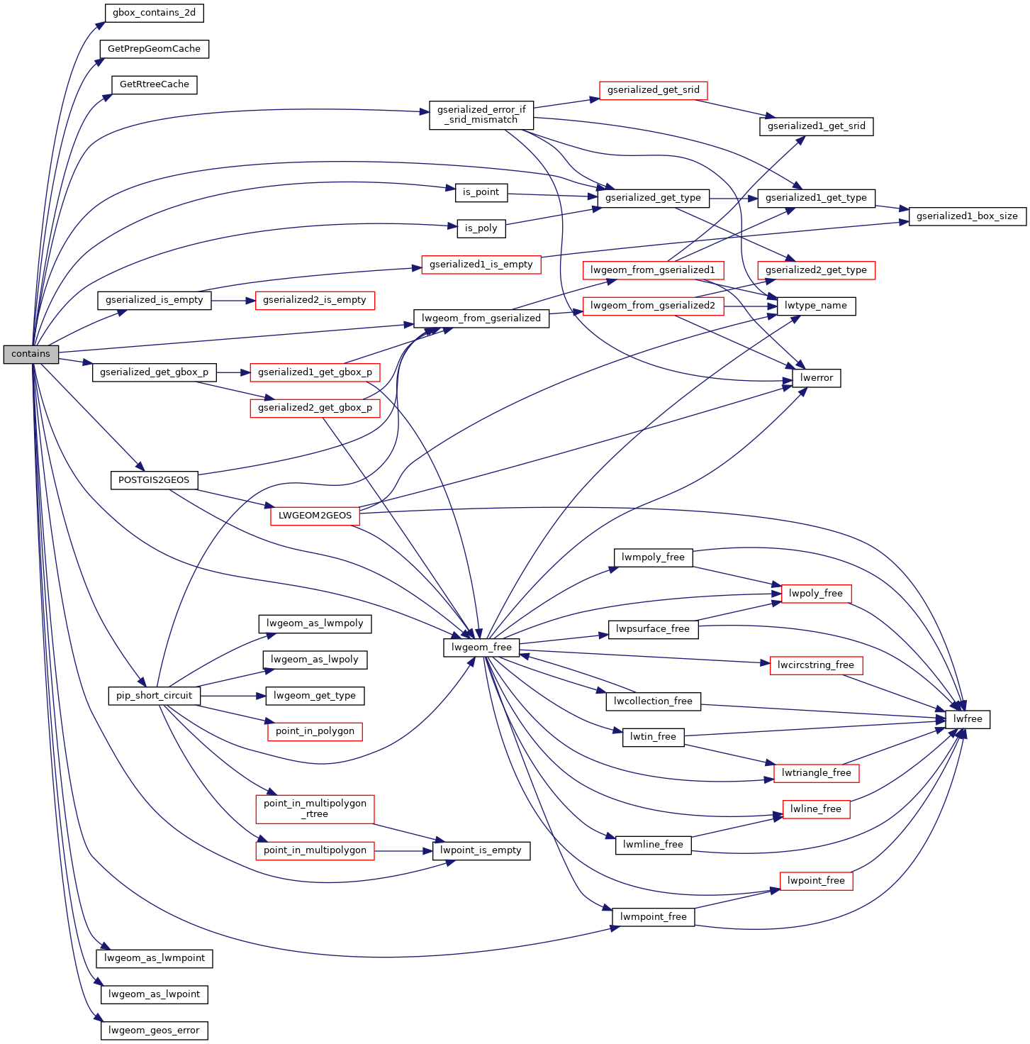
int gbox_contains_2d(const GBOX *g1, const GBOX *g2)
Return LW_TRUE if the first GBOX contains the second on the 2d plane, LW_FALSE otherwise.
Definition: gbox.c:339
void gserialized_error_if_srid_mismatch(const GSERIALIZED *g1, const GSERIALIZED *g2, const char *funcname)
Definition: gserialized.c:403
int gserialized_get_gbox_p(const GSERIALIZED *g, GBOX *gbox)
Read the box from the GSERIALIZED or calculate it if necessary.
Definition: gserialized.c:65
LWGEOM * lwgeom_from_gserialized(const GSERIALIZED *g)
Allocate a new LWGEOM from a GSERIALIZED.
Definition: gserialized.c:239
int gserialized_is_empty(const GSERIALIZED *g)
Check if a GSERIALIZED is empty without deserializing first.
Definition: gserialized.c:152
uint32_t gserialized_get_type(const GSERIALIZED *g)
Extract the geometry type from the serialized form (it hides in the anonymous data area,...
Definition: gserialized.c:89
void lwgeom_geos_error(const char *fmt,...)
#define LW_FALSE
Definition: liblwgeom.h:109
void lwmpoint_free(LWMPOINT *mpt)
Definition: lwmpoint.c:72
LWMPOINT * lwgeom_as_lwmpoint(const LWGEOM *lwgeom)
Definition: lwgeom.c:242
void lwgeom_free(LWGEOM *geom)
Definition: lwgeom.c:1155
#define MULTIPOINTTYPE
Definition: liblwgeom.h:120
#define POINTTYPE
LWTYPE numbers, used internally by PostGIS.
Definition: liblwgeom.h:117
#define LW_TRUE
Return types for functions with status returns.
Definition: liblwgeom.h:108
int lwpoint_is_empty(const LWPOINT *point)
PrepGeomCache * GetPrepGeomCache(FunctionCallInfo fcinfo, SHARED_GSERIALIZED *g1, SHARED_GSERIALIZED *g2)
Given a couple potential geometries and a function call context, return a prepared structure for one ...
RTREE_POLY_CACHE * GetRtreeCache(FunctionCallInfo fcinfo, SHARED_GSERIALIZED *g1)
Checks for a cache hit against the provided geometry and returns a pre-built index structure (RTREE_P...
Definition: lwgeom_rtree.c:432
static LWPOINT * lwgeom_as_lwpoint(const LWGEOM *lwgeom)
Definition: lwinline.h:131
#define HANDLE_GEOS_ERROR(label)
static char is_point(const GSERIALIZED *g)
static int pip_short_circuit(RTREE_POLY_CACHE *poly_cache, LWPOINT *point, const GSERIALIZED *gpoly)
static char is_poly(const GSERIALIZED *g)
GEOSGeometry * POSTGIS2GEOS(const GSERIALIZED *pglwgeom)
uint32_t ngeoms
Definition: liblwgeom.h:553
LWPOINT ** geoms
Definition: liblwgeom.h:548
const GEOSPreparedGeometry * prepared_geom
The tree structure used for fast P-i-P tests by point_in_multipolygon_rtree()
Definition: lwgeom_rtree.h:59

References gbox_contains_2d(), PrepGeomCache::gcache, LWMPOINT::geoms, GetPrepGeomCache(), GetRtreeCache(), gserialized_error_if_srid_mismatch(), gserialized_get_gbox_p(), gserialized_get_type(), gserialized_is_empty(), HANDLE_GEOS_ERROR, is_point(), is_poly(), LW_FALSE, LW_TRUE, lwgeom_as_lwmpoint(), lwgeom_as_lwpoint(), lwgeom_free(), lwgeom_from_gserialized(), lwgeom_geos_error(), lwmpoint_free(), lwpoint_is_empty(), MULTIPOINTTYPE, LWMPOINT::ngeoms, pip_short_circuit(), POINTTYPE, POSTGIS2GEOS(), PrepGeomCache::prepared_geom, and result.

Referenced by _lwt_AddFaceSplit(), _lwt_AddPoint(), _lwt_CheckEdgeCrossing(), _lwt_FindFaceContainingRing(), lwpoly_split_by_line(), lwpoly_to_points(), rt_raster_contains(), rt_raster_contains_properly(), and within().

Here is the call graph for this function:
Here is the caller graph for this function: