◆ lwgeom_voronoi_diagram()
| LWGEOM* lwgeom_voronoi_diagram | ( | const LWGEOM * | g, |
| const GBOX * | env, | ||
| double | tolerance, | ||
| int | output_edges | ||
| ) |
Take vertices of a geometry and build the Voronoi diagram.
- Parameters
-
g the input geometry env an optional envelope for clipping the results tolerance an optional snapping tolerance for improved robustness output_edges if non-zero the result will be a MULTILINESTRING, otherwise it'll be a COLLECTION of polygons.
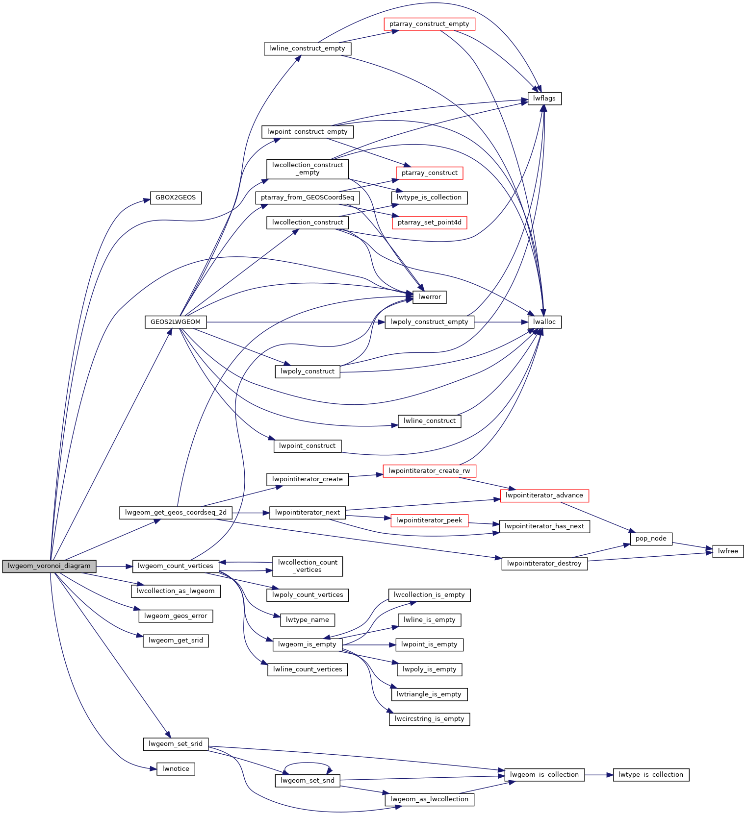
Definition at line 2040 of file liblwgeom/lwgeom_geos.c.
2059 /* Instead of using the standard LWGEOM2GEOS transformer, we read the vertices of the LWGEOM directly and put
2060 * them into a single GEOS CoordinateSeq that can be used to define a LineString. This allows us to process
2061 * geometry types that may not be supported by GEOS, and reduces the memory requirements in cases of many
char lwgeom_geos_errmsg[LWGEOM_GEOS_ERRMSG_MAXSIZE]
Definition: liblwgeom/lwgeom_geos.c:40
LWGEOM * GEOS2LWGEOM(const GEOSGeometry *geom, uint8_t want3d)
Definition: liblwgeom/lwgeom_geos.c:174
static GEOSCoordSequence * lwgeom_get_geos_coordseq_2d(const LWGEOM *g, uint32_t num_points)
Definition: liblwgeom/lwgeom_geos.c:2000
LWGEOM * lwcollection_as_lwgeom(const LWCOLLECTION *obj)
Definition: lwgeom.c:292
void lwgeom_set_srid(LWGEOM *geom, int32_t srid)
Set the SRID on an LWGEOM For collections, only the parent gets an SRID, all the children get SRID_UN...
Definition: lwgeom.c:1530
uint32_t lwgeom_count_vertices(const LWGEOM *geom)
Count the total number of vertices in any LWGEOM.
Definition: lwgeom.c:1229
LWCOLLECTION * lwcollection_construct_empty(uint8_t type, int32_t srid, char hasz, char hasm)
Definition: lwcollection.c:92
Definition: liblwgeom.h:587
Definition: liblwgeom.h:471
References COLLECTIONTYPE, GBOX2GEOS(), GEOS2LWGEOM(), LW_FALSE, lwcollection_as_lwgeom(), lwcollection_construct_empty(), lwerror(), lwgeom_count_vertices(), lwgeom_geos_errmsg, lwgeom_geos_error(), lwgeom_get_geos_coordseq_2d(), lwgeom_get_srid(), lwgeom_set_srid(), and lwnotice().
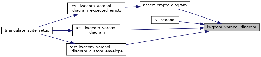
Referenced by assert_empty_diagram(), ST_Voronoi(), test_lwgeom_voronoi_diagram(), and test_lwgeom_voronoi_diagram_custom_envelope().
Here is the call graph for this function:
Here is the caller graph for this function: