PostGIS  3.2.2dev-r@@SVN_REVISION@@

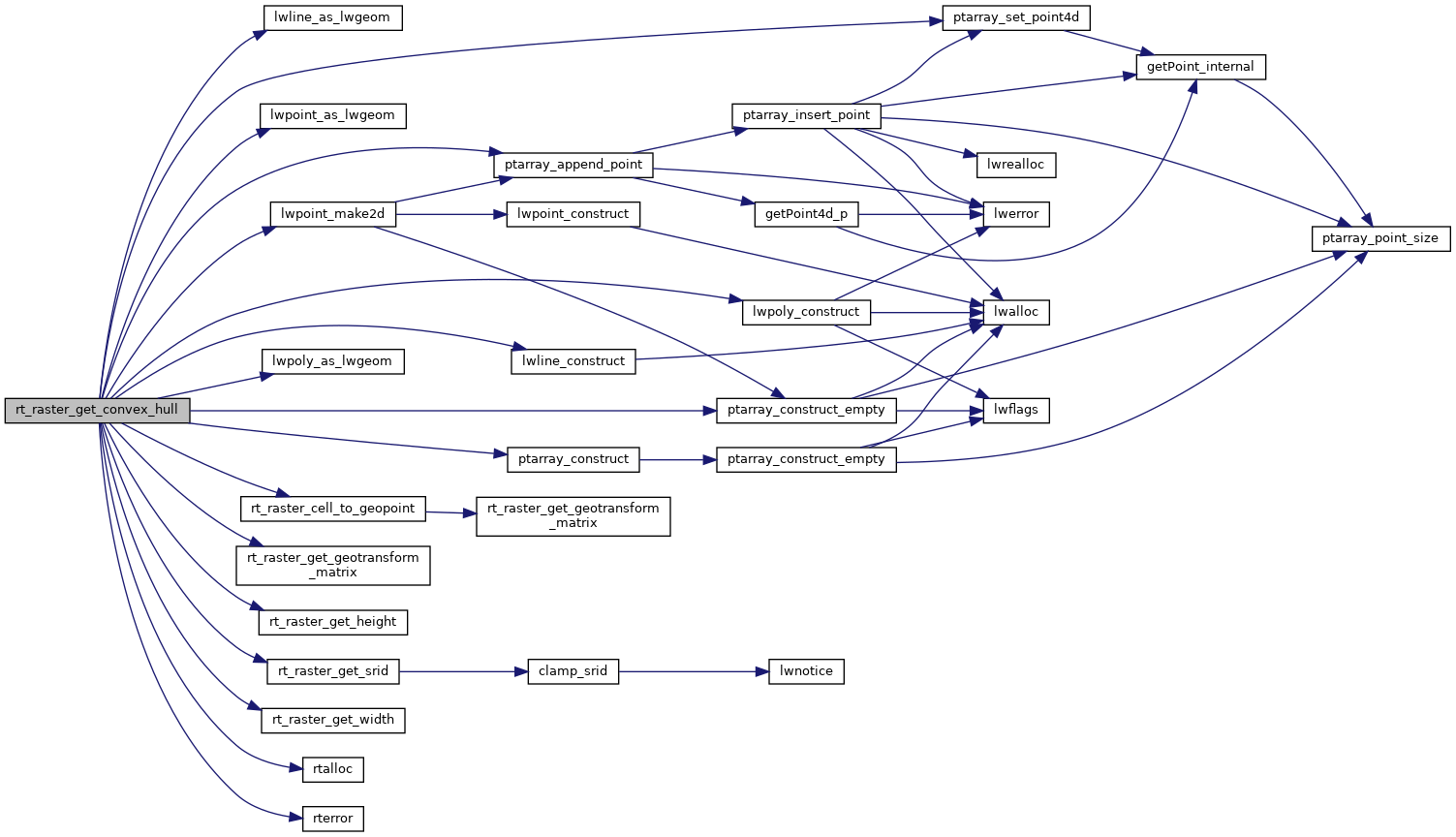
◆ rt_raster_get_convex_hull()

rt_errorstate rt_raster_get_convex_hull ( rt_raster  raster,
LWGEOM **  hull 
)

Get raster's convex hull.

The convex hull is a 4 vertices (5 to be closed) single ring polygon bearing the raster's rotation and using projection coordinates.

Parameters
raster: the raster to get info from
**hull: pointer to convex hull
Returns
ES_NONE if success, ES_ERROR if error

The convex hull is typically a 4 vertices (5 to be closed) single ring polygon bearing the raster's rotation and using projection coordinates.

Parameters
raster: the raster to get info from
**hull: pointer to convex hull
Returns
ES_NONE if success, ES_ERROR if error

Definition at line 841 of file rt_geometry.c.

841  {
842  double gt[6] = {0.0};
843  int32_t srid = SRID_UNKNOWN;
844 
845  POINTARRAY *pts = NULL;
846  POINT4D p4d;
847 
848  assert(hull != NULL);
849  *hull = NULL;
850 
851  /* raster is NULL, convex hull is NULL */
852  if (raster == NULL)
853  return ES_NONE;
854 
855  /* raster metadata */
856  srid = rt_raster_get_srid(raster);
858 
859  RASTER_DEBUGF(3, "rt_raster_get_convex_hull: raster is %dx%d", raster->width, raster->height);
860 
861  /* return point or line since at least one of the two dimensions is 0 */
862  if ((!raster->width) || (!raster->height)) {
863  p4d.x = gt[0];
864  p4d.y = gt[3];
865 
866  /* return point */
867  if (!raster->width && !raster->height) {
868  LWPOINT *point = lwpoint_make2d(srid, p4d.x, p4d.y);
869  *hull = lwpoint_as_lwgeom(point);
870  }
871  /* return linestring */
872  else {
873  LWLINE *line = NULL;
874  pts = ptarray_construct_empty(0, 0, 2);
875 
876  /* first point of line */
877  ptarray_append_point(pts, &p4d, LW_TRUE);
878 
879  /* second point of line */
881  raster,
883  &p4d.x, &p4d.y,
884  gt
885  ) != ES_NONE) {
886  rterror("rt_raster_get_convex_hull: Could not get second point for linestring");
887  return ES_ERROR;
888  }
889  ptarray_append_point(pts, &p4d, LW_TRUE);
890  line = lwline_construct(srid, NULL, pts);
891 
892  *hull = lwline_as_lwgeom(line);
893  }
894 
895  return ES_NONE;
896  }
897  else {
898  POINTARRAY **rings = NULL;
899  LWPOLY* poly = NULL;
900 
901  /* only one ring */
902  rings = (POINTARRAY **) rtalloc(sizeof (POINTARRAY*));
903  if (!rings) {
904  rterror("rt_raster_get_convex_hull: Could not allocate memory for polygon ring");
905  return ES_ERROR;
906  }
907  rings[0] = ptarray_construct(0, 0, 5);
908  /* TODO: handle error on ptarray construction */
909  /* XXX jorgearevalo: the error conditions aren't managed in ptarray_construct */
910  if (!rings[0]) {
911  rterror("rt_raster_get_convex_hull: Could not construct point array");
912  return ES_ERROR;
913  }
914  pts = rings[0];
915 
916  /* Upper-left corner (first and last points) */
917  p4d.x = gt[0];
918  p4d.y = gt[3];
919  ptarray_set_point4d(pts, 0, &p4d);
920  ptarray_set_point4d(pts, 4, &p4d);
921 
922  /* Upper-right corner (we go clockwise) */
924  raster,
925  raster->width, 0,
926  &p4d.x, &p4d.y,
927  gt
928  );
929  ptarray_set_point4d(pts, 1, &p4d);
930 
931  /* Lower-right corner */
933  raster,
934  raster->width, raster->height,
935  &p4d.x, &p4d.y,
936  gt
937  );
938  ptarray_set_point4d(pts, 2, &p4d);
939 
940  /* Lower-left corner */
942  raster,
943  0, raster->height,
944  &p4d.x, &p4d.y,
945  gt
946  );
947  ptarray_set_point4d(pts, 3, &p4d);
948 
949  poly = lwpoly_construct(srid, 0, 1, rings);
950  *hull = lwpoly_as_lwgeom(poly);
951  }
952 
953  return ES_NONE;
954 }
LWGEOM * lwline_as_lwgeom(const LWLINE *obj)
Definition: lwgeom.c:322
LWPOINT * lwpoint_make2d(int32_t srid, double x, double y)
Definition: lwpoint.c:163
LWGEOM * lwpoly_as_lwgeom(const LWPOLY *obj)
Definition: lwgeom.c:312
POINTARRAY * ptarray_construct(char hasz, char hasm, uint32_t npoints)
Construct an empty pointarray, allocating storage and setting the npoints, but not filling in any inf...
Definition: ptarray.c:51
LWLINE * lwline_construct(int32_t srid, GBOX *bbox, POINTARRAY *points)
Definition: lwline.c:42
LWGEOM * lwpoint_as_lwgeom(const LWPOINT *obj)
Definition: lwgeom.c:327
POINTARRAY * ptarray_construct_empty(char hasz, char hasm, uint32_t maxpoints)
Create a new POINTARRAY with no points.
Definition: ptarray.c:59
int ptarray_append_point(POINTARRAY *pa, const POINT4D *pt, int allow_duplicates)
Append a point to the end of an existing POINTARRAY If allow_duplicate is LW_FALSE,...
Definition: ptarray.c:147
#define LW_TRUE
Return types for functions with status returns.
Definition: liblwgeom.h:107
#define SRID_UNKNOWN
Unknown SRID value.
Definition: liblwgeom.h:229
LWPOLY * lwpoly_construct(int32_t srid, GBOX *bbox, uint32_t nrings, POINTARRAY **points)
Definition: lwpoly.c:43
void ptarray_set_point4d(POINTARRAY *pa, uint32_t n, const POINT4D *p4d)
Definition: lwgeom_api.c:370
void rterror(const char *fmt,...)
Wrappers used for reporting errors and info.
Definition: rt_context.c:219
void * rtalloc(size_t size)
Wrappers used for managing memory.
Definition: rt_context.c:191
rt_errorstate rt_raster_cell_to_geopoint(rt_raster raster, double xr, double yr, double *xw, double *yw, double *gt)
Convert an xr, yr raster point to an xw, yw point on map.
Definition: rt_raster.c:759
int32_t rt_raster_get_srid(rt_raster raster)
Get raster's SRID.
Definition: rt_raster.c:360
#define RASTER_DEBUGF(level, msg,...)
Definition: librtcore.h:306
@ ES_NONE
Definition: librtcore.h:182
@ ES_ERROR
Definition: librtcore.h:183
uint16_t rt_raster_get_height(rt_raster raster)
Definition: rt_raster.c:133
uint16_t rt_raster_get_width(rt_raster raster)
Definition: rt_raster.c:125
void rt_raster_get_geotransform_matrix(rt_raster raster, double *gt)
Get 6-element array of raster geotransform matrix.
Definition: rt_raster.c:710
raster
Be careful!! Zeros function's input parameter can be a (height x width) array, not (width x height): ...
Definition: rtrowdump.py:121
gt
Definition: window.py:78
double x
Definition: liblwgeom.h:428
double y
Definition: liblwgeom.h:428

References ES_ERROR, ES_NONE, window::gt, LW_TRUE, lwline_as_lwgeom(), lwline_construct(), lwpoint_as_lwgeom(), lwpoint_make2d(), lwpoly_as_lwgeom(), lwpoly_construct(), ptarray_append_point(), ptarray_construct(), ptarray_construct_empty(), ptarray_set_point4d(), rtrowdump::raster, RASTER_DEBUGF, rt_raster_cell_to_geopoint(), rt_raster_get_geotransform_matrix(), rt_raster_get_height(), rt_raster_get_srid(), rt_raster_get_width(), rtalloc(), rterror(), SRID_UNKNOWN, POINT4D::x, and POINT4D::y.

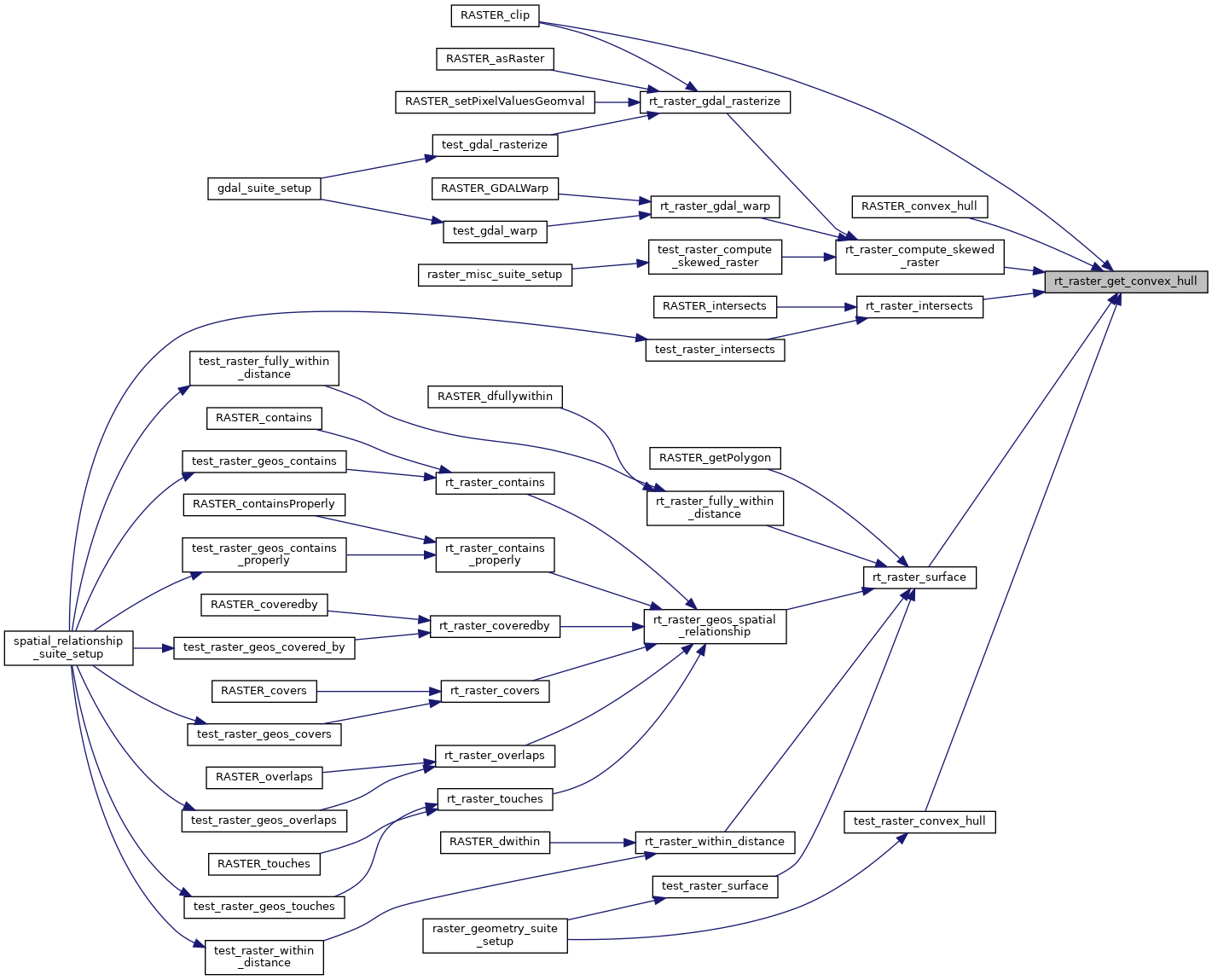
Referenced by RASTER_clip(), RASTER_convex_hull(), rt_raster_compute_skewed_raster(), rt_raster_intersects(), rt_raster_surface(), and test_raster_convex_hull().

Here is the call graph for this function:
Here is the caller graph for this function: