PostGIS  3.2.2dev-r@@SVN_REVISION@@

◆ ARRAY2GEOS()

GEOSGeometry** ARRAY2GEOS ( ArrayType *  array,
uint32_t  nelems,
int *  is3d,
int *  srid 
)

Definition at line 2847 of file postgis/lwgeom_geos.c.

2848 {
2849  ArrayIterator iterator;
2850  Datum value;
2851  bool isnull;
2852  bool gotsrid = false;
2853  uint32_t i = 0;
2854 
2855  GEOSGeometry** geos_geoms = palloc(nelems * sizeof(GEOSGeometry*));
2856 
2857  iterator = array_create_iterator(array, 0, NULL);
2858 
2859  while(array_iterate(iterator, &value, &isnull))
2860  {
2861  GSERIALIZED *geom = (GSERIALIZED*) DatumGetPointer(value);
2862 
2863  if (isnull)
2864  continue;
2865 
2866  *is3d = *is3d || gserialized_has_z(geom);
2867 
2868  geos_geoms[i] = POSTGIS2GEOS(geom);
2869  if (!geos_geoms[i])
2870  {
2871  uint32_t j;
2872  lwpgerror("Geometry could not be converted to GEOS");
2873 
2874  for (j = 0; j < i; j++) {
2875  GEOSGeom_destroy(geos_geoms[j]);
2876  }
2877  return NULL;
2878  }
2879 
2880  if (!gotsrid)
2881  {
2882  *srid = gserialized_get_srid(geom);
2883  gotsrid = true;
2884  }
2885  else if (*srid != gserialized_get_srid(geom))
2886  {
2887  uint32_t j;
2888  for (j = 0; j <= i; j++) {
2889  GEOSGeom_destroy(geos_geoms[j]);
2890  }
2891  gserialized_error_if_srid_mismatch_reference(geom, *srid, __func__);
2892  return NULL;
2893  }
2894 
2895  i++;
2896  }
2897 
2898  array_free_iterator(iterator);
2899  return geos_geoms;
2900 }
void gserialized_error_if_srid_mismatch_reference(const GSERIALIZED *g1, const int32_t srid2, const char *funcname)
Definition: gserialized.c:419
int32_t gserialized_get_srid(const GSERIALIZED *g)
Extract the SRID from the serialized form (it is packed into three bytes so this is a handy function)...
Definition: gserialized.c:126
int gserialized_has_z(const GSERIALIZED *g)
Check if a GSERIALIZED has a Z ordinate.
Definition: gserialized.c:174
int value
Definition: genraster.py:62
GEOSGeometry * POSTGIS2GEOS(const GSERIALIZED *pglwgeom)

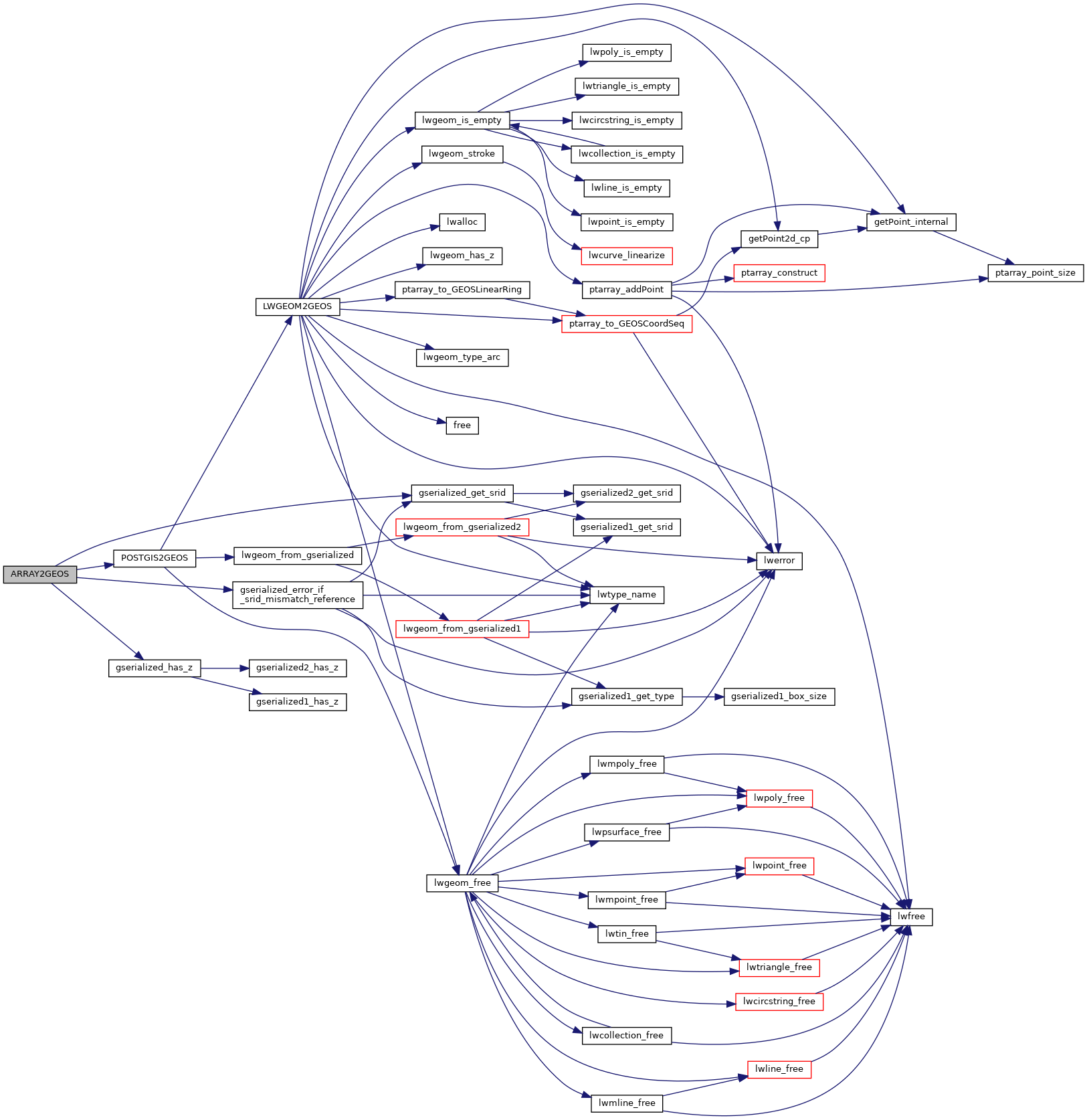
References gserialized_error_if_srid_mismatch_reference(), gserialized_get_srid(), gserialized_has_z(), POSTGIS2GEOS(), and genraster::value.

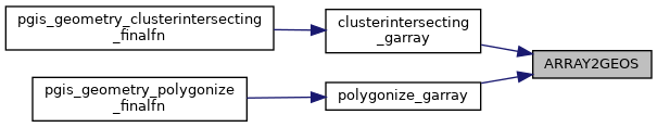
Referenced by clusterintersecting_garray(), and polygonize_garray().

Here is the call graph for this function:
Here is the caller graph for this function: