PostGIS  3.2.2dev-r@@SVN_REVISION@@

◆ lwgeom_snap()

LWGEOM* lwgeom_snap ( const LWGEOM geom1,
const LWGEOM geom2,
double  tolerance 
)

Snap vertices and segments of a geometry to another using a given tolerance.

Parameters
geom1the geometry to snap
geom2the geometry to snap to
tolerancethe distance under which vertices and segments are snapped

Definition at line 1461 of file liblwgeom/lwgeom_geos.c.

1462 {
1463  LWGEOM* result;
1464  int32_t srid = RESULT_SRID(geom1, geom2);
1465  uint8_t is3d = (FLAGS_GET_Z(geom1->flags) || FLAGS_GET_Z(geom2->flags));
1466  GEOSGeometry *g1, *g2, *g3;
1467 
1468  if (srid == SRID_INVALID) return NULL;
1469 
1470  initGEOS(lwnotice, lwgeom_geos_error);
1471 
1472  if (!(g1 = LWGEOM2GEOS(geom1, AUTOFIX))) GEOS_FAIL();
1473  if (!(g2 = LWGEOM2GEOS(geom2, AUTOFIX))) GEOS_FREE_AND_FAIL(g1);
1474 
1475  g3 = GEOSSnap(g1, g2, tolerance);
1476 
1477  if (!g3) GEOS_FREE_AND_FAIL(g1, g2);
1478  GEOSSetSRID(g3, srid);
1479 
1480  if (!(result = GEOS2LWGEOM(g3, is3d)))
1481  GEOS_FREE_AND_FAIL(g1, g2, g3);
1482 
1483  GEOS_FREE(g1, g2, g3);
1484  return result;
1485 }
char result[OUT_DOUBLE_BUFFER_SIZE]
Definition: cu_print.c:267
#define GEOS_FREE(...)
#define AUTOFIX
#define RESULT_SRID(...)
#define GEOS_FAIL()
#define GEOS_FREE_AND_FAIL(...)
GEOSGeometry * LWGEOM2GEOS(const LWGEOM *lwgeom, uint8_t autofix)
LWGEOM * GEOS2LWGEOM(const GEOSGeometry *geom, uint8_t want3d)
void lwgeom_geos_error(const char *fmt,...)
#define SRID_INVALID
Definition: liblwgeom.h:233
#define FLAGS_GET_Z(flags)
Definition: liblwgeom.h:179
void lwnotice(const char *fmt,...)
Write a notice out to the notice handler.
Definition: lwutil.c:177
lwflags_t flags
Definition: liblwgeom.h:475

References AUTOFIX, LWGEOM::flags, FLAGS_GET_Z, GEOS2LWGEOM(), GEOS_FAIL, GEOS_FREE, GEOS_FREE_AND_FAIL, LWGEOM2GEOS(), lwgeom_geos_error(), lwnotice(), result, RESULT_SRID, and SRID_INVALID.

Referenced by _lwt_toposnap(), and ST_Snap().

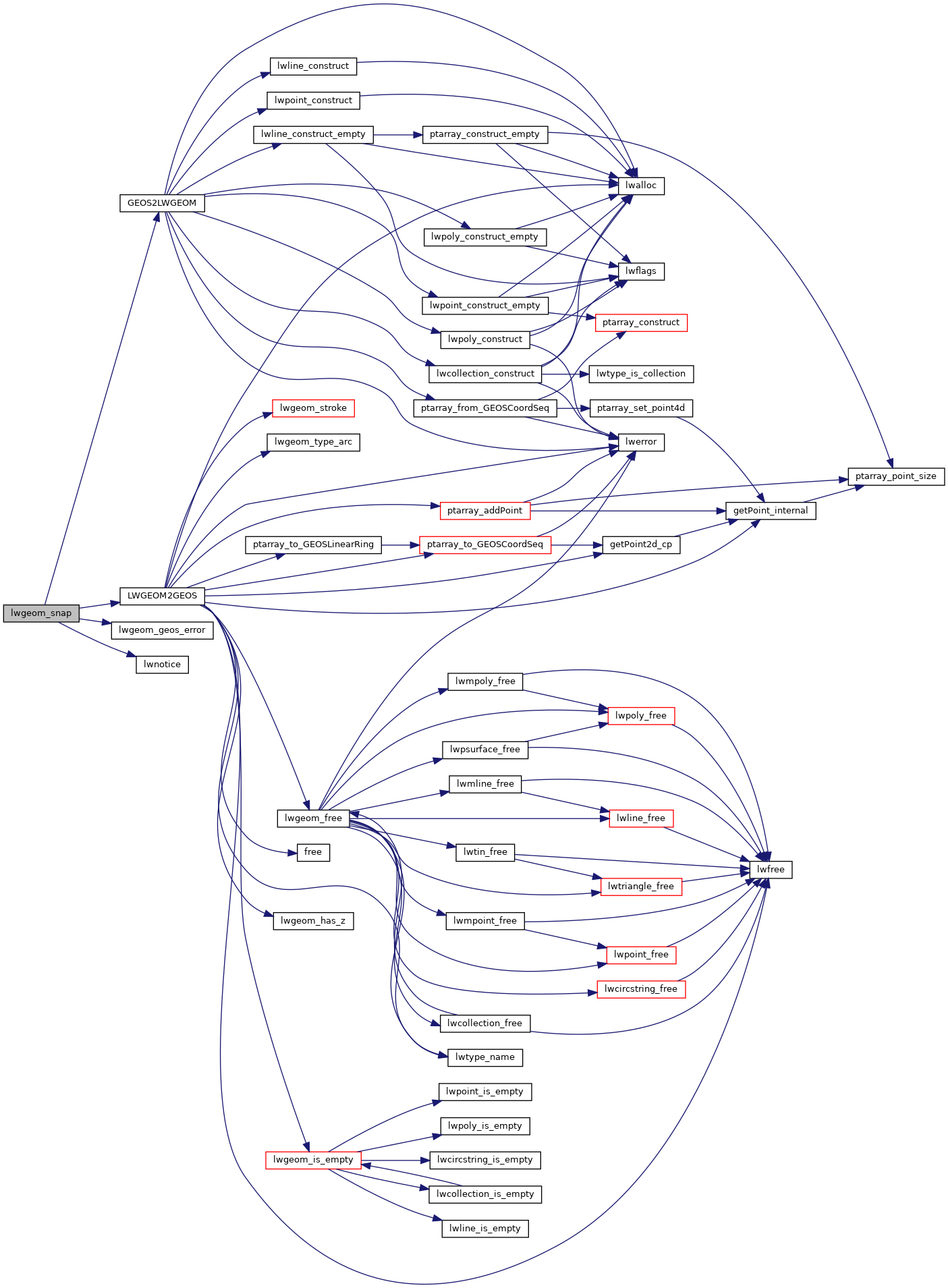
Here is the call graph for this function:
Here is the caller graph for this function: