PostGIS  3.1.6dev-r@@SVN_REVISION@@

◆ lwgeom_force_geodetic()

int lwgeom_force_geodetic ( LWGEOM geom)

Force coordinates of LWGEOM into geodetic range (-180, -90, 180, 90)

Definition at line 3212 of file lwgeodetic.c.

3213 {
3214  switch ( lwgeom_get_type(geom) )
3215  {
3216  case POINTTYPE:
3217  return lwpoint_force_geodetic((LWPOINT *)geom);
3218  case LINETYPE:
3219  return lwline_force_geodetic((LWLINE *)geom);
3220  case POLYGONTYPE:
3221  return lwpoly_force_geodetic((LWPOLY *)geom);
3222  case MULTIPOINTTYPE:
3223  case MULTILINETYPE:
3224  case MULTIPOLYGONTYPE:
3225  case COLLECTIONTYPE:
3226  return lwcollection_force_geodetic((LWCOLLECTION *)geom);
3227  default:
3228  lwerror("unsupported input geometry type: %d", lwgeom_get_type(geom));
3229  }
3230  return LW_FALSE;
3231 }
#define LW_FALSE
Definition: liblwgeom.h:108
#define COLLECTIONTYPE
Definition: liblwgeom.h:122
#define MULTILINETYPE
Definition: liblwgeom.h:120
#define LINETYPE
Definition: liblwgeom.h:117
#define MULTIPOINTTYPE
Definition: liblwgeom.h:119
#define POINTTYPE
LWTYPE numbers, used internally by PostGIS.
Definition: liblwgeom.h:116
#define MULTIPOLYGONTYPE
Definition: liblwgeom.h:121
#define POLYGONTYPE
Definition: liblwgeom.h:118
static int lwpoly_force_geodetic(LWPOLY *poly)
Definition: lwgeodetic.c:3184
static int lwcollection_force_geodetic(LWCOLLECTION *col)
Definition: lwgeodetic.c:3198
static int lwline_force_geodetic(LWLINE *line)
Definition: lwgeodetic.c:3178
static int lwpoint_force_geodetic(LWPOINT *point)
Definition: lwgeodetic.c:3172
void lwerror(const char *fmt,...)
Write a notice out to the error handler.
Definition: lwutil.c:190
static uint32_t lwgeom_get_type(const LWGEOM *geom)
Return LWTYPE number.
Definition: lwinline.h:145

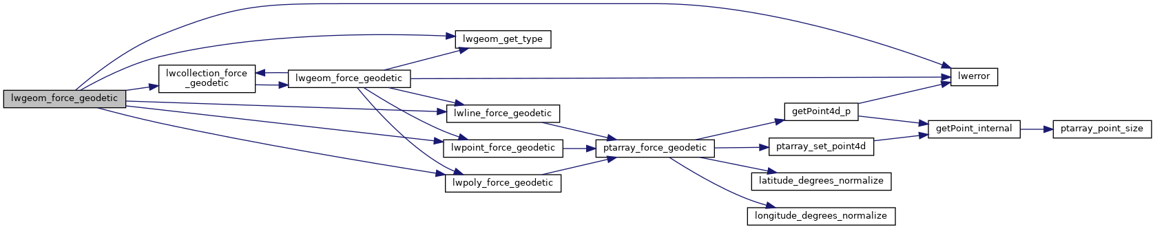
References COLLECTIONTYPE, LINETYPE, LW_FALSE, lwcollection_force_geodetic(), lwerror(), lwgeom_get_type(), lwline_force_geodetic(), lwpoint_force_geodetic(), lwpoly_force_geodetic(), MULTILINETYPE, MULTIPOINTTYPE, MULTIPOLYGONTYPE, POINTTYPE, and POLYGONTYPE.

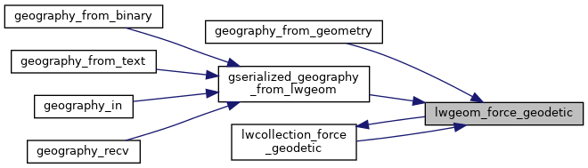
Referenced by geography_from_geometry(), gserialized_geography_from_lwgeom(), and lwcollection_force_geodetic().

Here is the call graph for this function:
Here is the caller graph for this function: