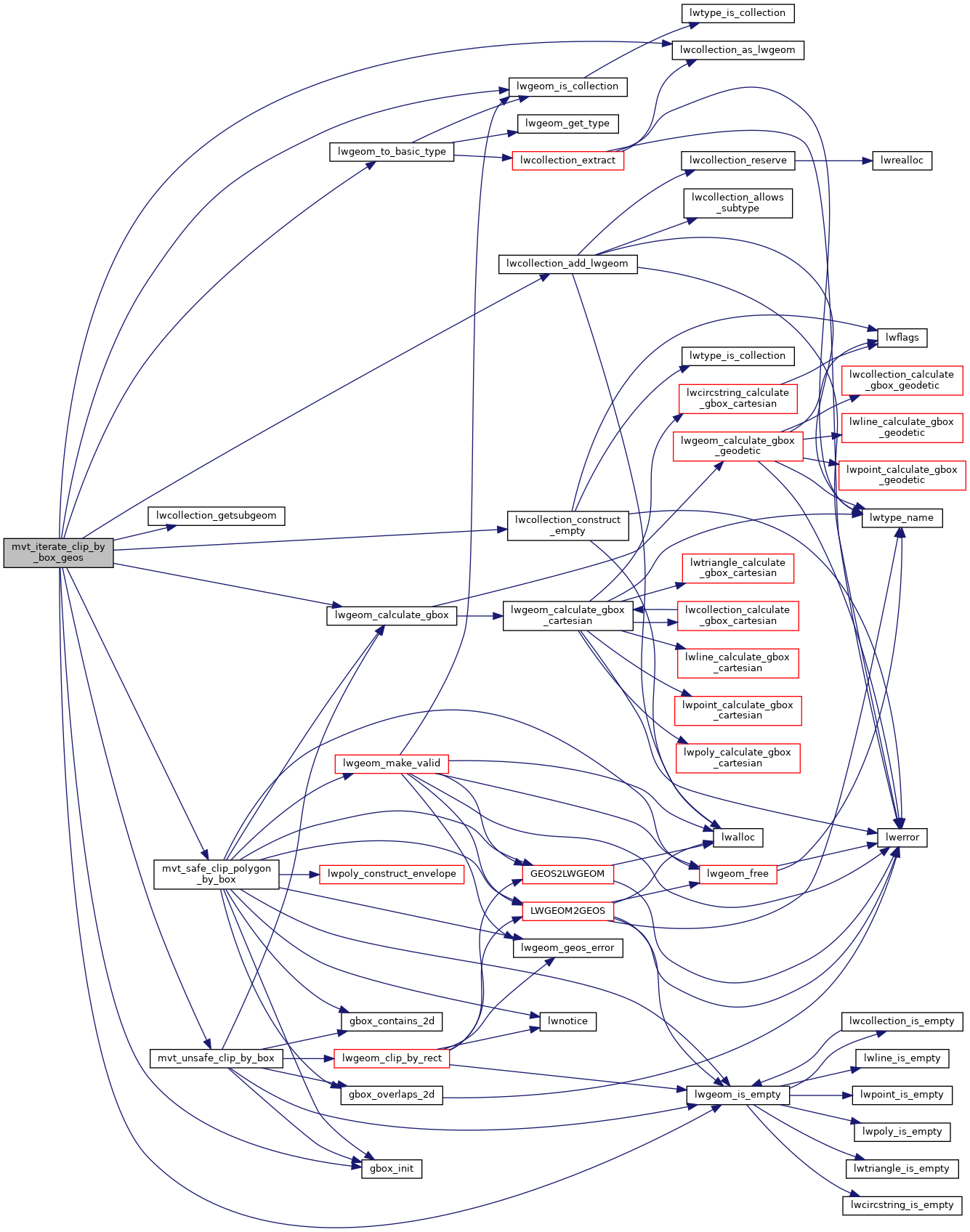
◆ mvt_iterate_clip_by_box_geos()
|
static |
Clips the geometry using GEOSIntersection in a "safe way", cleaning the input if necessary and clipping MULTIPOLYGONs separately to reduce the impact of using invalid input in GEOS Might return NULL.
Definition at line 926 of file mvt.c.
LWGEOM * lwcollection_as_lwgeom(const LWCOLLECTION *obj)
Definition: lwgeom.c:292
LWGEOM * lwcollection_getsubgeom(LWCOLLECTION *col, int gnum)
Definition: lwcollection.c:114
int lwgeom_is_collection(const LWGEOM *lwgeom)
Determine whether a LWGEOM can contain sub-geometries or not.
Definition: lwgeom.c:1080
LWCOLLECTION * lwcollection_construct_empty(uint8_t type, int32_t srid, char hasz, char hasm)
Definition: lwcollection.c:92
int lwgeom_calculate_gbox(const LWGEOM *lwgeom, GBOX *gbox)
Calculate bounding box of a geometry, automatically taking into account whether it is cartesian or ge...
Definition: lwgeom.c:738
LWCOLLECTION * lwcollection_add_lwgeom(LWCOLLECTION *col, const LWGEOM *geom)
Appends geom to the collection managed by col.
Definition: lwcollection.c:188
static int lwgeom_is_empty(const LWGEOM *geom)
Return true or false depending on whether a geometry is an "empty" geometry (no vertices members)
Definition: lwinline.h:203
static LWGEOM * mvt_unsafe_clip_by_box(LWGEOM *lwg_in, GBOX *clip_box)
Definition: mvt.c:812
static LWGEOM * mvt_safe_clip_polygon_by_box(LWGEOM *lwg_in, GBOX *clip_box)
Clips an input geometry using GEOSIntersection It used to try to use GEOSClipByRect (as mvt_unsafe_cl...
Definition: mvt.c:847
static LWGEOM * lwgeom_to_basic_type(LWGEOM *geom, uint8_t original_type)
In place process a collection to find a concrete geometry object and expose that as the actual object...
Definition: mvt.c:787
Definition: liblwgeom.h:366
Definition: liblwgeom.h:587
Definition: liblwgeom.h:471
Definition: liblwgeom.h:573
References GBOX::flags, LWGEOM::flags, FLAGS_GET_M, FLAGS_GET_Z, FLAGS_SET_GEODETIC, gbox_init(), lwcollection_add_lwgeom(), lwcollection_as_lwgeom(), lwcollection_construct_empty(), lwcollection_getsubgeom(), lwgeom_calculate_gbox(), lwgeom_is_collection(), lwgeom_is_empty(), lwgeom_to_basic_type(), MULTIPOLYGONTYPE, mvt_safe_clip_polygon_by_box(), mvt_unsafe_clip_by_box(), LWCOLLECTION::ngeoms, POLYGONTYPE, window::res, LWGEOM::srid, and LWGEOM::type.
Referenced by mvt_clip_and_validate_geos().
Here is the call graph for this function:
Here is the caller graph for this function:
