◆ ST_Distance()
| Datum ST_Distance | ( | PG_FUNCTION_ARGS | ) |
Definition at line 694 of file lwgeom_functions_basic.c.
711 /* if called with empty geometries the ingoing mindistance is untouched, and makes us return NULL*/
void gserialized_error_if_srid_mismatch(const GSERIALIZED *g1, const GSERIALIZED *g2, const char *funcname)
Definition: gserialized.c:404
LWGEOM * lwgeom_from_gserialized(const GSERIALIZED *g)
Allocate a new LWGEOM from a GSERIALIZED.
Definition: gserialized.c:239
double lwgeom_mindistance2d(const LWGEOM *lw1, const LWGEOM *lw2)
Function initializing min distance calculation.
Definition: measures.c:209
Definition: liblwgeom.h:457
Definition: liblwgeom.h:471
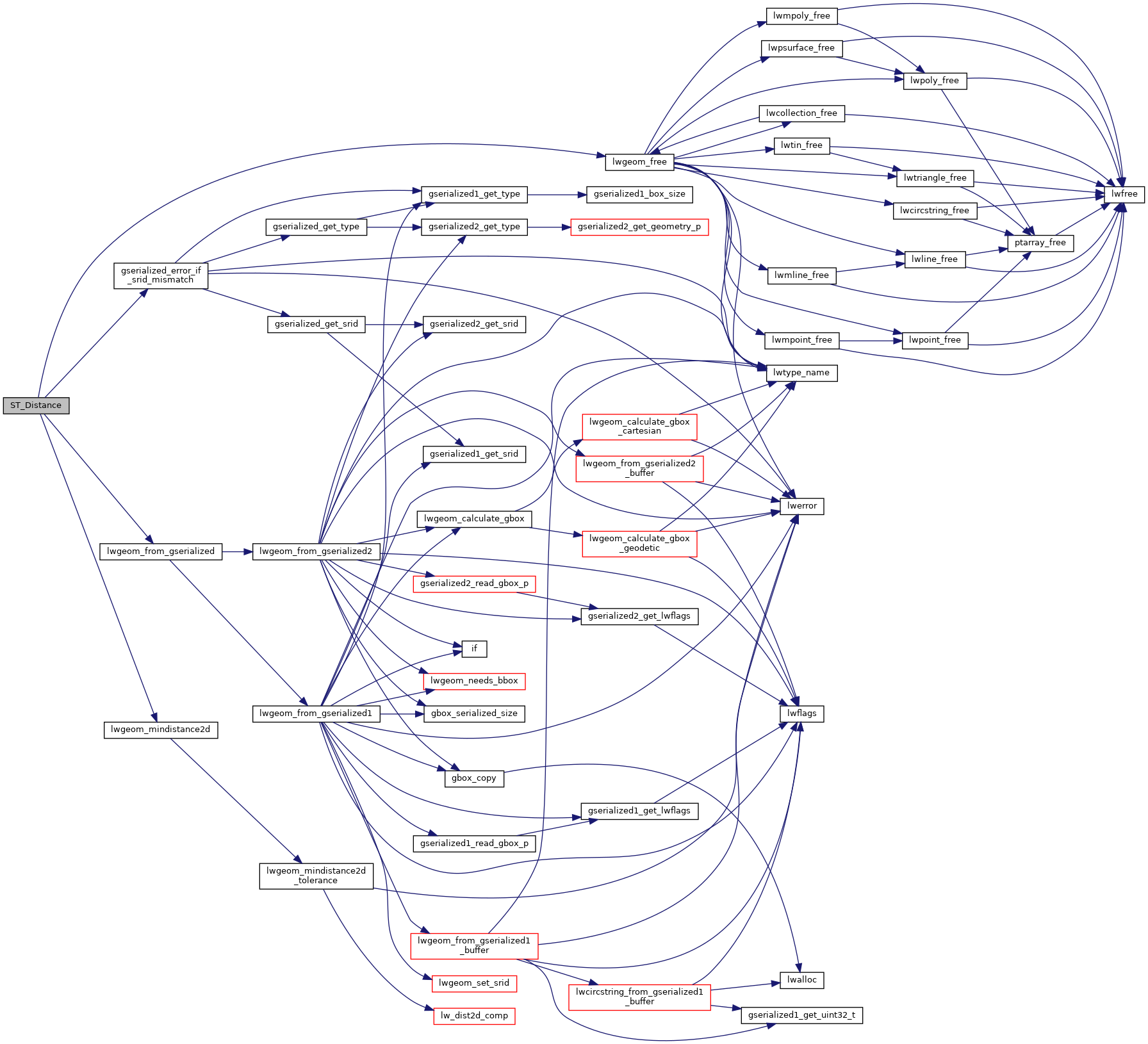
References gserialized_error_if_srid_mismatch(), lwgeom_free(), lwgeom_from_gserialized(), and lwgeom_mindistance2d().
Referenced by optimistic_overlap().
Here is the call graph for this function:
Here is the caller graph for this function: