PostGIS  3.1.6dev-r@@SVN_REVISION@@

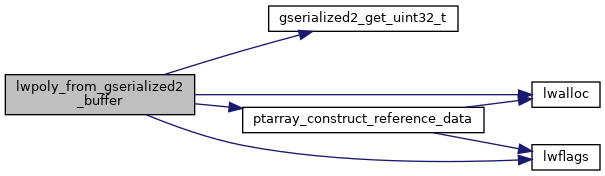
◆ lwpoly_from_gserialized2_buffer()

static LWPOLY* lwpoly_from_gserialized2_buffer ( uint8_t *  data_ptr,
lwflags_t  lwflags,
size_t *  size,
int32_t  srid 
)
static

Definition at line 1278 of file gserialized2.c.

1279 {
1280  uint8_t *start_ptr = data_ptr;
1281  LWPOLY *poly;
1282  uint8_t *ordinate_ptr;
1283  uint32_t nrings = 0;
1284  uint32_t i = 0;
1285 
1286  assert(data_ptr);
1287 
1288  poly = (LWPOLY*)lwalloc(sizeof(LWPOLY));
1289  poly->srid = srid;
1290  poly->bbox = NULL;
1291  poly->type = POLYGONTYPE;
1292  poly->flags = lwflags;
1293 
1294  data_ptr += 4; /* Skip past the polygontype. */
1295  nrings = gserialized2_get_uint32_t(data_ptr); /* Zero => empty geometry */
1296  poly->nrings = nrings;
1297  LWDEBUGF(4, "nrings = %d", nrings);
1298  data_ptr += 4; /* Skip past the nrings. */
1299 
1300  ordinate_ptr = data_ptr; /* Start the ordinate pointer. */
1301  if (nrings > 0)
1302  {
1303  poly->rings = (POINTARRAY**)lwalloc( sizeof(POINTARRAY*) * nrings );
1304  poly->maxrings = nrings;
1305  ordinate_ptr += nrings * 4; /* Move past all the npoints values. */
1306  if (nrings % 2) /* If there is padding, move past that too. */
1307  ordinate_ptr += 4;
1308  }
1309  else /* Empty polygon */
1310  {
1311  poly->rings = NULL;
1312  poly->maxrings = 0;
1313  }
1314 
1315  for (i = 0; i < nrings; i++)
1316  {
1317  uint32_t npoints = 0;
1318 
1319  /* Read in the number of points. */
1320  npoints = gserialized2_get_uint32_t(data_ptr);
1321  data_ptr += 4;
1322 
1323  /* Make a point array for the ring, and move the ordinate pointer past the ring ordinates. */
1324  poly->rings[i] = ptarray_construct_reference_data(FLAGS_GET_Z(lwflags), FLAGS_GET_M(lwflags), npoints, ordinate_ptr);
1325 
1326  ordinate_ptr += sizeof(double) * FLAGS_NDIMS(lwflags) * npoints;
1327  }
1328 
1329  if (size)
1330  *size = ordinate_ptr - start_ptr;
1331 
1332  return poly;
1333 }
static uint32_t gserialized2_get_uint32_t(const uint8_t *loc)
Definition: gserialized2.c:131
POINTARRAY * ptarray_construct_reference_data(char hasz, char hasm, uint32_t npoints, uint8_t *ptlist)
Construct a new POINTARRAY, referencing to the data from ptlist.
Definition: ptarray.c:291
#define FLAGS_GET_Z(flags)
Definition: liblwgeom.h:179
#define FLAGS_NDIMS(flags)
Definition: liblwgeom.h:193
#define POLYGONTYPE
Definition: liblwgeom.h:118
#define FLAGS_GET_M(flags)
Definition: liblwgeom.h:180
void * lwalloc(size_t size)
Definition: lwutil.c:227
lwflags_t lwflags(int hasz, int hasm, int geodetic)
Construct a new flags bitmask.
Definition: lwutil.c:471
#define LWDEBUGF(level, msg,...)
Definition: lwgeom_log.h:88
POINTARRAY ** rings
Definition: liblwgeom.h:533
uint8_t type
Definition: liblwgeom.h:536
uint32_t maxrings
Definition: liblwgeom.h:539
uint32_t nrings
Definition: liblwgeom.h:538
GBOX * bbox
Definition: liblwgeom.h:532
lwflags_t flags
Definition: liblwgeom.h:535
int32_t srid
Definition: liblwgeom.h:534

References LWPOLY::bbox, LWPOLY::flags, FLAGS_GET_M, FLAGS_GET_Z, FLAGS_NDIMS, gserialized2_get_uint32_t(), lwalloc(), LWDEBUGF, lwflags(), LWPOLY::maxrings, LWPOLY::nrings, POLYGONTYPE, ptarray_construct_reference_data(), LWPOLY::rings, LWPOLY::srid, and LWPOLY::type.

Referenced by lwgeom_from_gserialized2_buffer().

Here is the call graph for this function:
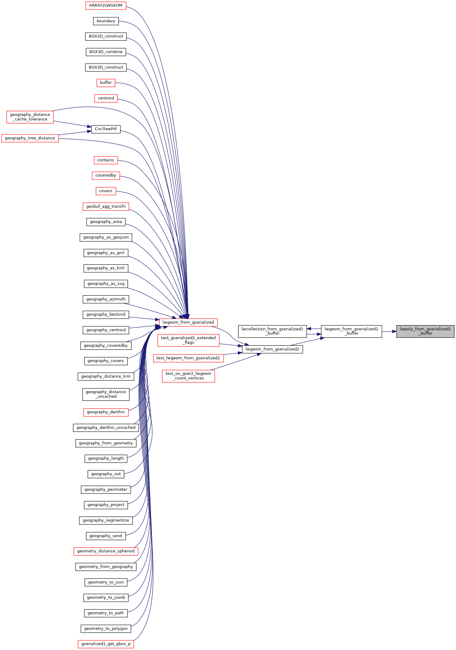
Here is the caller graph for this function: