◆ lwpoint_from_gserialized2_buffer()
|
static |
Definition at line 1213 of file gserialized2.c.
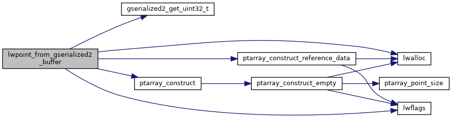
1232 point->point = ptarray_construct_reference_data(FLAGS_GET_Z(lwflags), FLAGS_GET_M(lwflags), 1, data_ptr);
1234 point->point = ptarray_construct(FLAGS_GET_Z(lwflags), FLAGS_GET_M(lwflags), 0); /* Empty point */
static uint32_t gserialized2_get_uint32_t(const uint8_t *loc)
Definition: gserialized2.c:131
POINTARRAY * ptarray_construct_reference_data(char hasz, char hasm, uint32_t npoints, uint8_t *ptlist)
Construct a new POINTARRAY, referencing to the data from ptlist.
Definition: ptarray.c:291
POINTARRAY * ptarray_construct(char hasz, char hasm, uint32_t npoints)
Construct an empty pointarray, allocating storage and setting the npoints, but not filling in any inf...
Definition: ptarray.c:51
lwflags_t lwflags(int hasz, int hasm, int geodetic)
Construct a new flags bitmask.
Definition: lwutil.c:471
Definition: liblwgeom.h:483
References LWPOINT::bbox, LWPOINT::flags, FLAGS_GET_M, FLAGS_GET_Z, FLAGS_NDIMS, gserialized2_get_uint32_t(), lwalloc(), lwflags(), LWPOINT::point, POINTTYPE, ptarray_construct(), ptarray_construct_reference_data(), LWPOINT::srid, and LWPOINT::type.
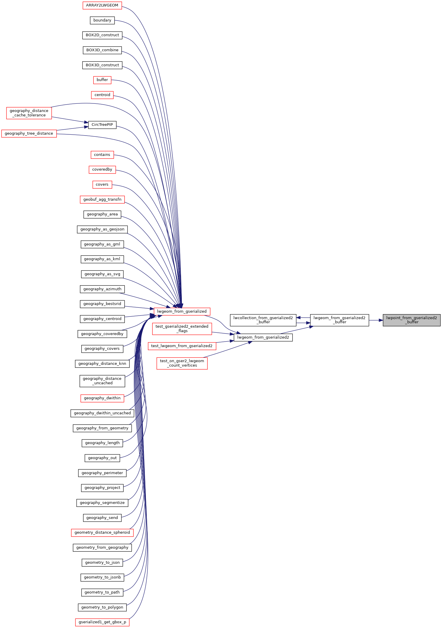
Referenced by lwgeom_from_gserialized2_buffer().
Here is the call graph for this function:
Here is the caller graph for this function: