PostGIS  3.1.6dev-r@@SVN_REVISION@@

◆ lw_dist2d_tri_curvepoly()

int lw_dist2d_tri_curvepoly ( LWTRIANGLE tri,
LWCURVEPOLY poly,
DISTPTS dl 
)

Definition at line 899 of file measures.c.
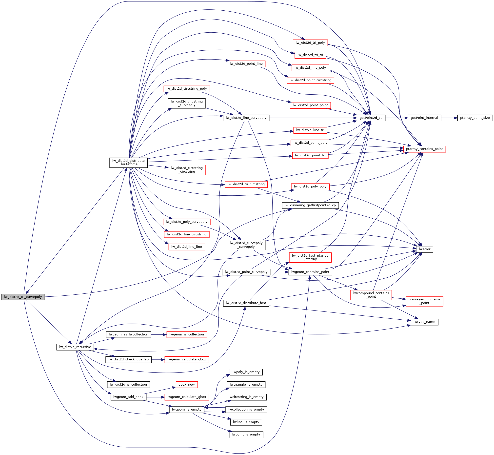
900 {
901  const POINT2D *pt = getPoint2d_cp(tri->points, 0);
902 
903  /* If we are looking for maxdistance, just check the outer rings.*/
904  if (dl->mode == DIST_MAX)
905  return lw_dist2d_recursive((LWGEOM *)tri, poly->rings[0], dl);
906 
907  /* Line has a pount outside curvepoly. Check distance to outer ring only. */
908  if (lwgeom_contains_point(poly->rings[0], pt) == LW_OUTSIDE)
909  {
910  if (lw_dist2d_recursive((LWGEOM *)tri, poly->rings[0], dl))
911  return LW_TRUE;
912  /* Maybe poly is inside triangle? */
914  {
915  lw_dist2d_distpts_set(dl, 0.0, pt, pt);
916  return LW_TRUE;
917  }
918  }
919 
920  for (uint32_t i = 1; i < poly->nrings; i++)
921  {
922  if (!lw_dist2d_recursive((LWGEOM *)tri, poly->rings[i], dl))
923  return LW_FALSE;
924 
925  /* just a check if the answer is already given */
926  if (dl->distance <= dl->tolerance && dl->mode == DIST_MIN)
927  return LW_TRUE;
928  }
929 
930  /* It's inside a hole, then distance is actual min distance */
931  for (uint32_t i = 1; i < poly->nrings; i++)
932  if (lwgeom_contains_point(poly->rings[i], pt) != LW_OUTSIDE)
933  return LW_TRUE;
934 
935  /* Not in hole, so inside polygon */
936  lw_dist2d_distpts_set(dl, 0.0, pt, pt);
937  return LW_TRUE;
938 }
#define LW_FALSE
Definition: liblwgeom.h:108
#define LW_TRUE
Return types for functions with status returns.
Definition: liblwgeom.h:107
#define LW_OUTSIDE
int lwgeom_contains_point(const LWGEOM *geom, const POINT2D *pt)
Definition: lwcompound.c:129
static const POINT2D * getPoint2d_cp(const POINTARRAY *pa, uint32_t n)
Returns a POINT2D pointer into the POINTARRAY serialized_ptlist, suitable for reading from.
Definition: lwinline.h:101
static void lw_dist2d_distpts_set(DISTPTS *dl, double distance, const POINT2D *p1, const POINT2D *p2)
Definition: measures.c:78
int lw_dist2d_recursive(const LWGEOM *lwg1, const LWGEOM *lwg2, DISTPTS *dl)
This is a recursive function delivering every possible combination of subgeometries.
Definition: measures.c:280
static const POINT2D * lw_curvering_getfirstpoint2d_cp(LWGEOM *geom)
Definition: measures.c:878
#define DIST_MIN
Definition: measures.h:44
#define DIST_MAX
Definition: measures.h:43
double tolerance
Definition: measures.h:56
int mode
Definition: measures.h:54
double distance
Definition: measures.h:51
LWGEOM ** rings
Definition: liblwgeom.h:617
uint32_t nrings
Definition: liblwgeom.h:622
POINTARRAY * points
Definition: liblwgeom.h:509

References DIST_MAX, DIST_MIN, DISTPTS::distance, getPoint2d_cp(), lw_curvering_getfirstpoint2d_cp(), lw_dist2d_distpts_set(), lw_dist2d_recursive(), LW_FALSE, LW_OUTSIDE, LW_TRUE, lwgeom_contains_point(), DISTPTS::mode, LWCURVEPOLY::nrings, LWTRIANGLE::points, LWCURVEPOLY::rings, and DISTPTS::tolerance.

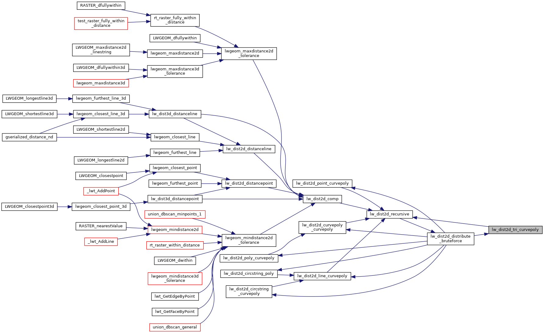
Referenced by lw_dist2d_distribute_bruteforce().

Here is the call graph for this function:
Here is the caller graph for this function: