PostGIS  3.1.6dev-r@@SVN_REVISION@@

◆ lwdoubles_to_latlon()

static char* lwdoubles_to_latlon ( double  lat,
double  lon,
const char *  format 
)
static

Definition at line 408 of file lwprint.c.

409 {
410  char * lat_text;
411  char * lon_text;
412  char * result;
413  size_t sz;
414 
415  /* Normalize lat/lon to the normal (-90 to 90, -180 to 180) range. */
416  lwprint_normalize_latlon(&lat, &lon);
417  /* This is somewhat inefficient as the format is parsed twice. */
418  lat_text = lwdouble_to_dms(lat, "N", "S", format);
419  lon_text = lwdouble_to_dms(lon, "E", "W", format);
420 
421  /* lat + lon + a space between + the null terminator. */
422  sz = strlen(lat_text) + strlen(lon_text) + 2;
423  result = (char*)lwalloc(sz);
424  snprintf(result, sz, "%s %s", lat_text, lon_text);
425  lwfree(lat_text);
426  lwfree(lon_text);
427  return result;
428 }
char result[OUT_DOUBLE_BUFFER_SIZE]
Definition: cu_print.c:267
void lwfree(void *mem)
Definition: lwutil.c:242
void * lwalloc(size_t size)
Definition: lwutil.c:227
static char * lwdouble_to_dms(double val, const char *pos_dir_symbol, const char *neg_dir_symbol, const char *format)
Definition: lwprint.c:79
static void lwprint_normalize_latlon(double *lat, double *lon)
Definition: lwprint.c:37

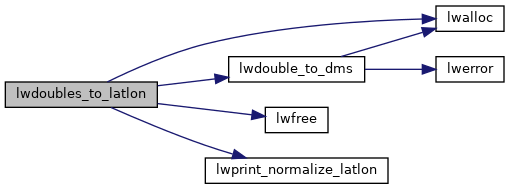
References lwalloc(), lwdouble_to_dms(), lwfree(), lwprint_normalize_latlon(), and result.

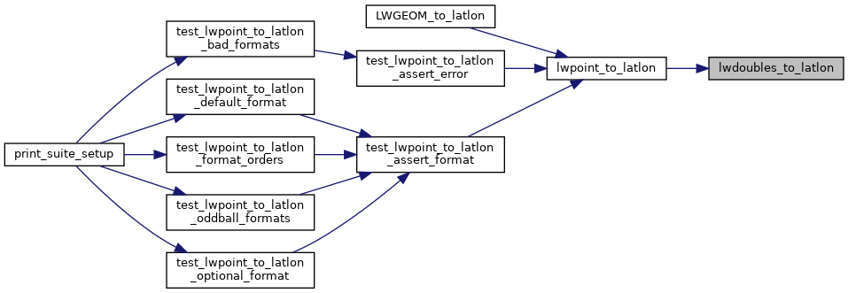
Referenced by lwpoint_to_latlon().

Here is the call graph for this function:
Here is the caller graph for this function: