Loading...
Searching...
No Matches
◆ lwgeom_make_valid()
Attempts to make an invalid geometries valid w/out losing points.
Definition at line 854 of file liblwgeom/lwgeom_geos_clean.c.
855{
856 int is3d;
857 GEOSGeom geosgeom;
858 GEOSGeometry* geosout;
859 LWGEOM* lwgeom_out;
860
862
863 /*
864 * Step 1 : try to convert to GEOS, if impossible, clean that up first
865 * otherwise (adding only duplicates of existing points)
866 */
867
869
870 lwgeom_out = lwgeom_in;
871 geosgeom = LWGEOM2GEOS(lwgeom_out, 1);
872 if (!geosgeom)
873 {
874 LWDEBUGF(4,
875 "Original geom can't be converted to GEOS (%s)"
876 " - will try cleaning that up first",
877 lwgeom_geos_errmsg);
878
879 lwgeom_out = lwgeom_make_geos_friendly(lwgeom_out);
881
882 /* try again as we did cleanup now */
883 /* TODO: invoke LWGEOM2GEOS directly with autoclean ? */
884 geosgeom = LWGEOM2GEOS(lwgeom_out, 0);
885 if (!geosgeom)
886 {
888 return NULL;
889 }
890 }
891 else
892 {
894 lwgeom_out = lwgeom_in;
895 }
896
897#if POSTGIS_GEOS_VERSION < 38
898 geosout = LWGEOM_GEOS_makeValid(geosgeom);
899#else
900 geosout = GEOSMakeValid(geosgeom);
901#endif
902 GEOSGeom_destroy(geosgeom);
903 if (!geosout) return NULL;
904
905 lwgeom_out = GEOS2LWGEOM(geosout, is3d);
906 GEOSGeom_destroy(geosout);
907
909 {
911 LWGEOM* ogeom;
913 /* NOTE: this is safe because lwgeom_out is surely not lwgeom_in or
914 * otherwise we couldn't have a collection and a non-collection */
915 assert(lwgeom_in != lwgeom_out);
916 ogeoms[0] = lwgeom_out;
919 lwgeom_out->bbox = NULL;
920 lwgeom_out = ogeom;
921 }
922
924 return lwgeom_out;
925}
char lwgeom_geos_errmsg[LWGEOM_GEOS_ERRMSG_MAXSIZE]
Definition liblwgeom/lwgeom_geos.c:40
GEOSGeometry * LWGEOM2GEOS(const LWGEOM *lwgeom, uint8_t autofix)
Definition liblwgeom/lwgeom_geos.c:390
LWGEOM * GEOS2LWGEOM(const GEOSGeometry *geom, uint8_t want3d)
Definition liblwgeom/lwgeom_geos.c:166
static LWGEOM * lwgeom_make_geos_friendly(LWGEOM *geom)
Definition liblwgeom/lwgeom_geos_clean.c:126
LWCOLLECTION * lwcollection_construct(uint8_t type, int32_t srid, GBOX *bbox, uint32_t ngeoms, LWGEOM **geoms)
Definition lwcollection.c:42
int lwgeom_is_collection(const LWGEOM *lwgeom)
Determine whether a LWGEOM can contain sub-geometries or not.
Definition lwgeom.c:1079
uint8_t MULTITYPE[NUMTYPES]
Look-up for the correct MULTI* type promotion for singleton types.
Definition lwgeom.c:336
Definition liblwgeom.h:443
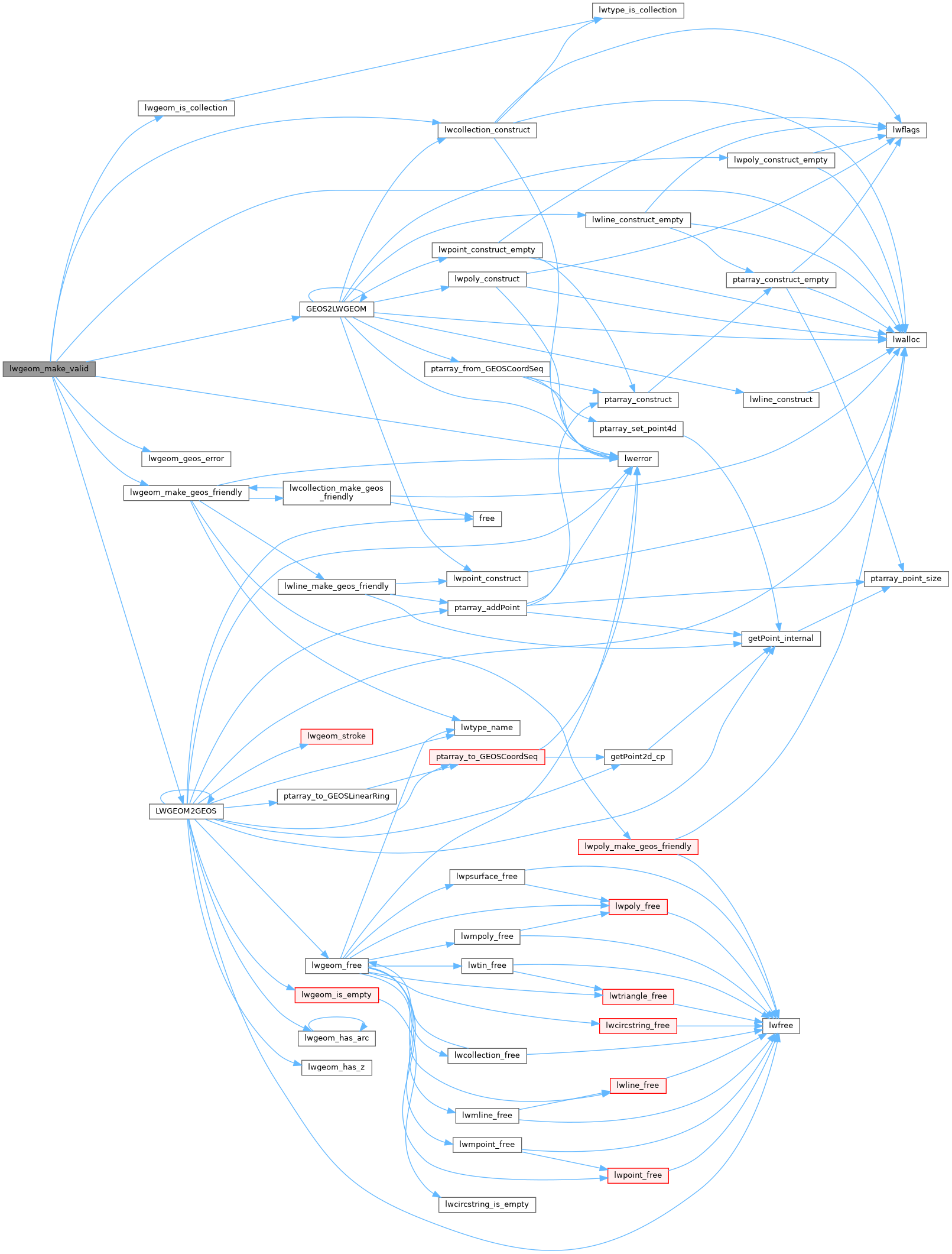
References LWGEOM::bbox, LWGEOM::flags, FLAGS_GET_Z, GEOS2LWGEOM(), lwalloc(), lwcollection_construct(), LWDEBUG, LWDEBUGF, lwerror(), LWGEOM2GEOS(), lwgeom_geos_errmsg, lwgeom_geos_error(), lwgeom_is_collection(), lwgeom_make_geos_friendly(), MULTITYPE, LWGEOM::srid, and LWGEOM::type.
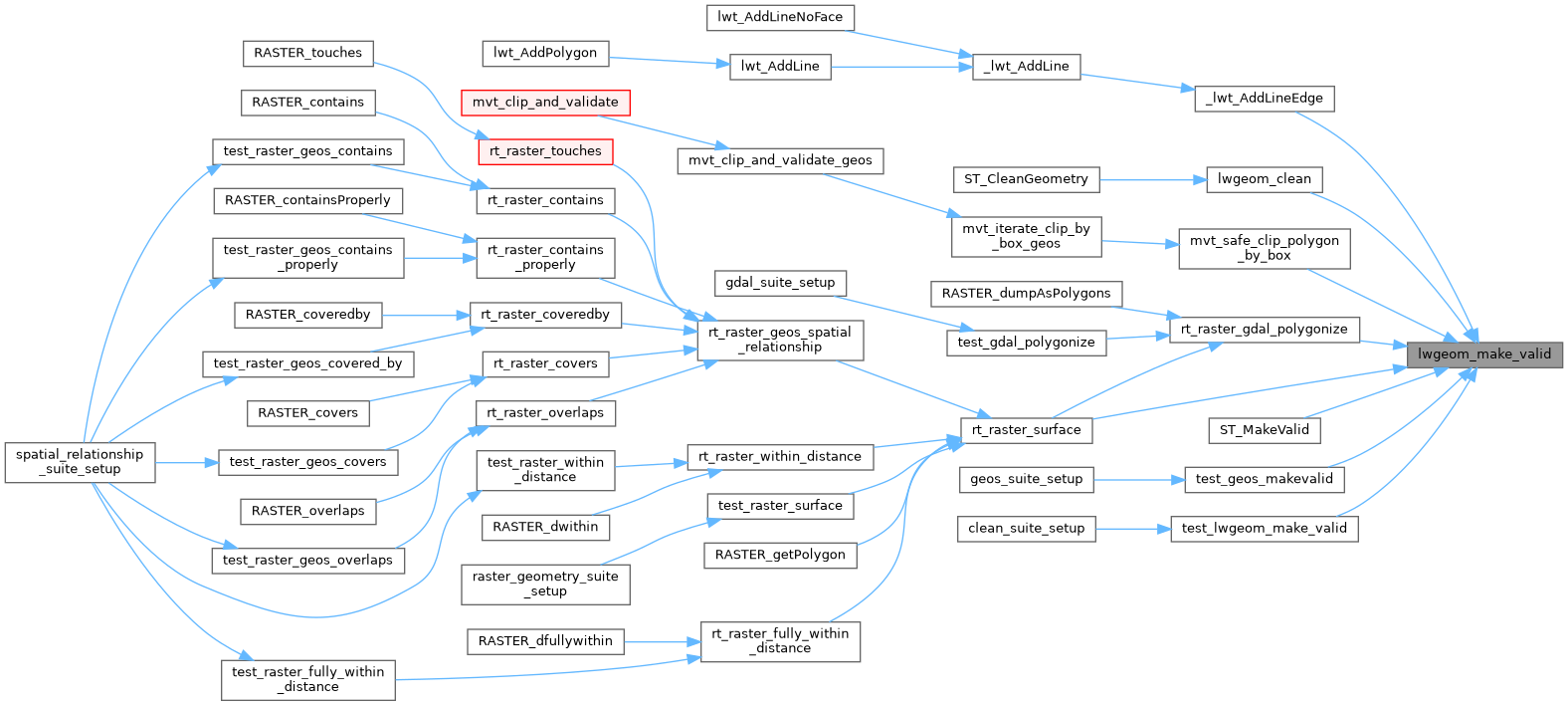
Referenced by _lwt_AddLineEdge(), lwgeom_clean(), mvt_safe_clip_polygon_by_box(), rt_raster_gdal_polygonize(), rt_raster_surface(), ST_MakeValid(), test_geos_makevalid(), and test_lwgeom_make_valid().
Here is the call graph for this function:
Here is the caller graph for this function: