◆ gserialized_from_lwgeom()
| GSERIALIZED* gserialized_from_lwgeom | ( | LWGEOM * | geom, |
| size_t * | size | ||
| ) |
Allocate a new GSERIALIZED from an LWGEOM.
For all non-point types, a bounding box will be calculated and embedded in the serialization. The geodetic flag is used to control the box calculation (cartesian or geocentric). If set, the size pointer will contain the size of the final output, which is useful for setting the PgSQL VARSIZE information.
Definition at line 222 of file gserialized.c.
GSERIALIZED * gserialized2_from_lwgeom(LWGEOM *geom, size_t *size)
Allocate a new GSERIALIZED from an LWGEOM.
Definition: gserialized2.c:1165
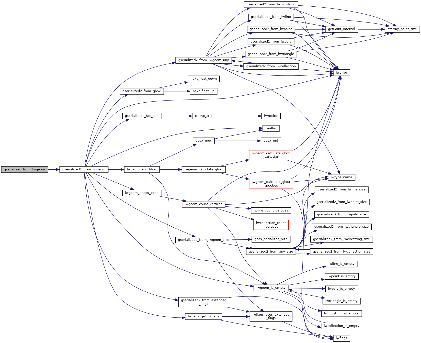
References gserialized2_from_lwgeom().
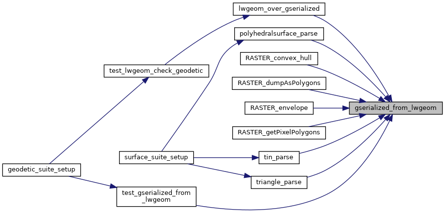
Referenced by lwgeom_over_gserialized(), polyhedralsurface_parse(), RASTER_convex_hull(), RASTER_dumpAsPolygons(), RASTER_envelope(), RASTER_getPixelPolygons(), test_gserialized_from_lwgeom(), tin_parse(), and triangle_parse().
Here is the call graph for this function:
Here is the caller graph for this function: