Loading...
Searching...
No Matches
◆ asgeojson_multipolygon_size()
|
static |
MultiPolygon Geometry.
Definition at line 514 of file lwout_geojson.c.
515{
516 LWPOLY *poly;
517 int size;
518 uint32_t i, j;
519
520 size = sizeof("{'type':'MultiPolygon',");
523 size += sizeof("'coordinates':[]}");
524
526 {
527 poly = mpoly->geoms[i];
529 {
531 size += sizeof("[]");
532 }
533 size += sizeof("[]");
534 }
535 size += sizeof(",") * i;
536 size += sizeof("]}");
537
538 return size;
539}
static size_t pointArray_geojson_size(POINTARRAY *pa, int precision)
Returns maximum size of rendered pointarray in bytes.
Definition lwout_geojson.c:776
static size_t asgeojson_bbox_size(int hasz, int precision)
Handle Bbox.
Definition lwout_geojson.c:127
Definition liblwgeom.h:503
References asgeojson_bbox_size(), asgeojson_srs_size(), LWMPOLY::flags, FLAGS_GET_Z, LWMPOLY::geoms, LWMPOLY::ngeoms, LWPOLY::nrings, pointArray_geojson_size(), precision, and LWPOLY::rings.
Referenced by asgeojson_geom_size(), and asgeojson_multipolygon().
Here is the call graph for this function:
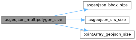
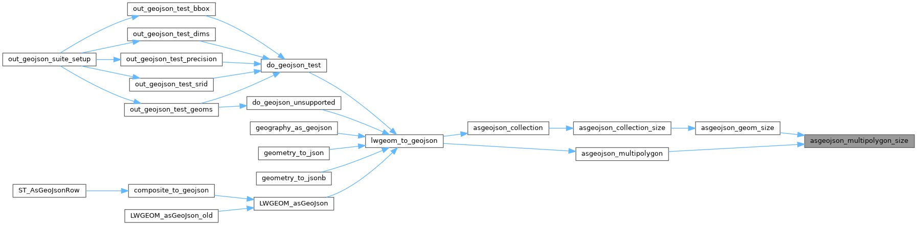
Here is the caller graph for this function: