Loading...
Searching...
No Matches
◆ asgeojson_poly_size()
|
static |
Polygon Geometry.
Definition at line 319 of file lwout_geojson.c.
320{
321 size_t size;
322 uint32_t i;
323
324 size = sizeof("{\"type\":\"Polygon\",");
327 size += sizeof("\"coordinates\":[");
329 {
331 size += sizeof("[]");
332 }
333 size += sizeof(",") * i;
334 size += sizeof("]}");
335
336 return size;
337}
static size_t pointArray_geojson_size(POINTARRAY *pa, int precision)
Returns maximum size of rendered pointarray in bytes.
Definition lwout_geojson.c:776
static size_t asgeojson_bbox_size(int hasz, int precision)
Handle Bbox.
Definition lwout_geojson.c:127
References asgeojson_bbox_size(), asgeojson_srs_size(), LWPOLY::flags, FLAGS_GET_Z, LWPOLY::nrings, pointArray_geojson_size(), precision, and LWPOLY::rings.
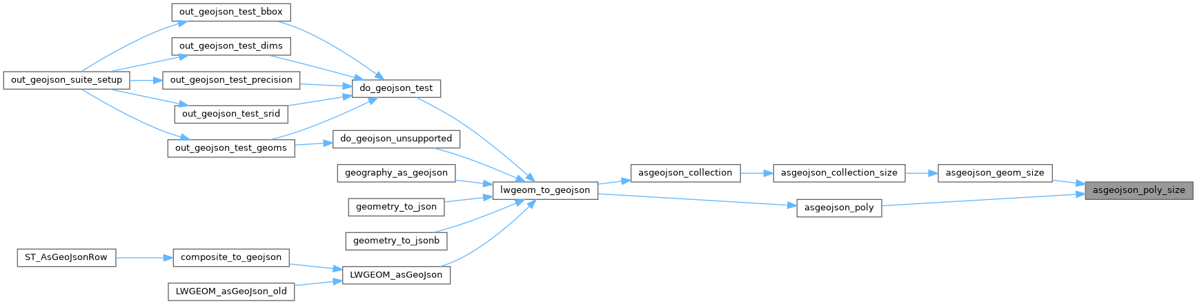
Referenced by asgeojson_geom_size(), and asgeojson_poly().
Here is the call graph for this function:
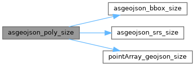
Here is the caller graph for this function: