Loading...
Searching...
No Matches
◆ asgeojson_line_size()
|
static |
Line Geometry.
Definition at line 271 of file lwout_geojson.c.
272{
273 int size;
274
275 size = sizeof("{'type':'LineString',");
278 size += sizeof("'coordinates':[]}");
280
281 return size;
282}
static size_t pointArray_geojson_size(POINTARRAY *pa, int precision)
Returns maximum size of rendered pointarray in bytes.
Definition lwout_geojson.c:776
static size_t asgeojson_bbox_size(int hasz, int precision)
Handle Bbox.
Definition lwout_geojson.c:127
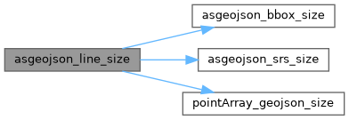
References asgeojson_bbox_size(), asgeojson_srs_size(), LWLINE::flags, FLAGS_GET_Z, pointArray_geojson_size(), LWLINE::points, and precision.
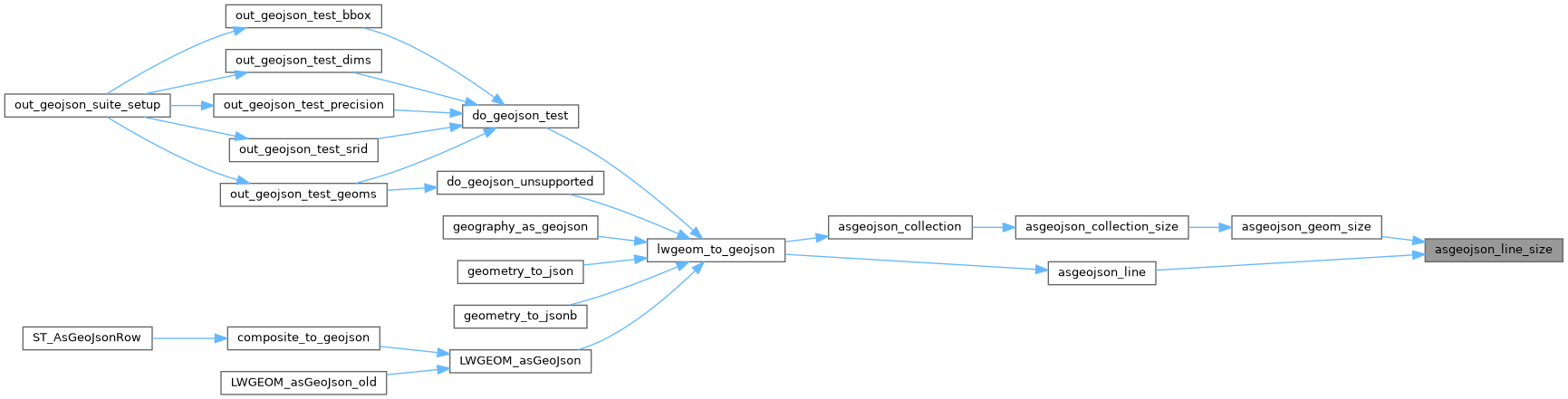
Referenced by asgeojson_geom_size(), and asgeojson_line().
Here is the call graph for this function:
Here is the caller graph for this function: