Loading...
Searching...
No Matches
◆ asgeojson_multiline_size()
|
static |
Multiline Geometry.
Definition at line 446 of file lwout_geojson.c.
447{
448 LWLINE * line;
449 int size;
450 uint32_t i;
451
452 size = sizeof("{'type':'MultiLineString',");
455 size += sizeof("'coordinates':[]}");
456
458 {
459 line = mline->geoms[i];
461 size += sizeof("[]");
462 }
463 size += sizeof(",") * i;
464
465 return size;
466}
static size_t pointArray_geojson_size(POINTARRAY *pa, int precision)
Returns maximum size of rendered pointarray in bytes.
Definition lwout_geojson.c:776
static size_t asgeojson_bbox_size(int hasz, int precision)
Handle Bbox.
Definition lwout_geojson.c:127
Definition liblwgeom.h:467
References asgeojson_bbox_size(), asgeojson_srs_size(), LWMLINE::flags, FLAGS_GET_Z, LWMLINE::geoms, LWMLINE::ngeoms, pointArray_geojson_size(), LWLINE::points, and precision.
Referenced by asgeojson_geom_size(), and asgeojson_multiline().
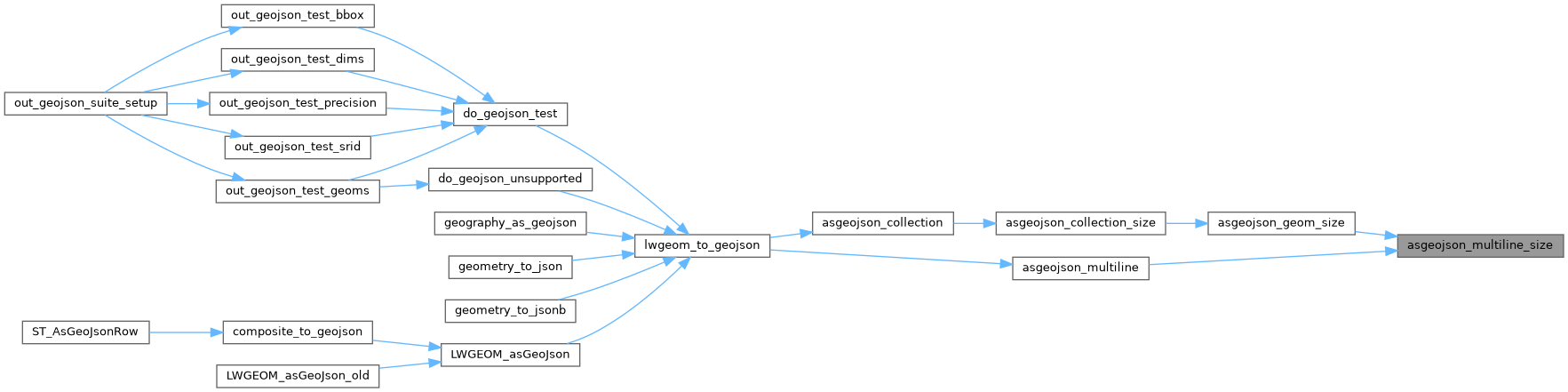
Here is the call graph for this function:
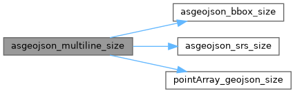
Here is the caller graph for this function: