Loading...
Searching...
No Matches
◆ LWGEOM_asGeoJson()
| Datum LWGEOM_asGeoJson | ( | PG_FUNCTION_ARGS | ) |
Definition at line 374 of file lwgeom_export.c.
375{
376 GSERIALIZED *geom;
377 LWGEOM *lwgeom;
378 char *geojson;
379 text *result;
385 char *srs = NULL;
386 int32_t srid;
387
388 /* Get the geometry */
389 if (PG_ARGISNULL(0))
390 PG_RETURN_NULL();
391
392 geom = PG_GETARG_GSERIALIZED_P(0);
393 srid = gserialized_get_srid(geom);
394
395 /* Retrieve precision if any (default is max) */
396 if ( PG_NARGS() > 1 && !PG_ARGISNULL(1) )
397 {
398 precision = PG_GETARG_INT32(1);
400 precision = DBL_DIG;
402 precision = 0;
403 }
404
405 /* Retrieve output option
406 * 0 = without option
407 * 1 = bbox
408 * 2 = short crs
409 * 4 = long crs
410 * 8 = guess if CRS is needed (default)
411 */
412 if (PG_NARGS() > 2 && !PG_ARGISNULL(2))
413 {
414 int option = PG_GETARG_INT32(2);
419 }
420 else
421 output_guess_short_srid = LW_TRUE;
422
424 output_short_crs = LW_TRUE;
425
427 {
428 srs = getSRSbySRID(fcinfo, srid, !output_long_crs);
429
430 if (!srs)
431 {
432 elog(ERROR, "SRID %i unknown in spatial_ref_sys table", srid);
433 PG_RETURN_NULL();
434 }
435 }
436
437 lwgeom = lwgeom_from_gserialized(geom);
439 lwgeom_free(lwgeom);
440
441 if (srs) pfree(srs);
442
443 result = cstring_to_text(geojson);
444 lwfree(geojson);
445
446 PG_FREE_IF_COPY(geom, 0);
447 PG_RETURN_TEXT_P(result);
448}
int32_t gserialized_get_srid(const GSERIALIZED *g)
Extract the SRID from the serialized form (it is packed into three bytes so this is a handy function)...
Definition gserialized.c:126
LWGEOM * lwgeom_from_gserialized(const GSERIALIZED *g)
Allocate a new LWGEOM from a GSERIALIZED.
Definition gserialized.c:239
char * lwgeom_to_geojson(const LWGEOM *geo, char *srs, int precision, int has_bbox)
Takes a GEOMETRY and returns a GeoJson representation.
Definition lwout_geojson.c:49
char * getSRSbySRID(FunctionCallInfo fcinfo, int32_t srid, bool short_crs)
Definition lwgeom_export.c:66
Definition liblwgeom.h:429
Definition liblwgeom.h:443
References getSRSbySRID(), gserialized_get_srid(), LW_FALSE, LW_TRUE, lwfree(), lwgeom_free(), lwgeom_from_gserialized(), lwgeom_to_geojson(), precision, SRID_UNKNOWN, and WGS84_SRID.
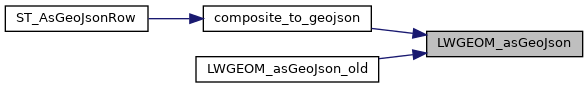
Referenced by composite_to_geojson(), and LWGEOM_asGeoJson_old().
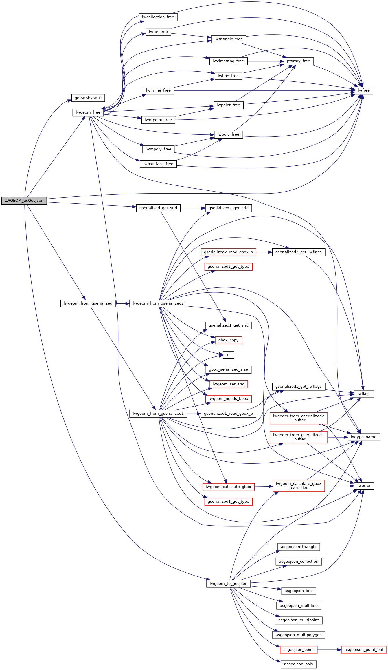
Here is the call graph for this function:
Here is the caller graph for this function: