Loading...
Searching...
No Matches
◆ lwgeom_to_geojson()
|
extern |
Takes a GEOMETRY and returns a GeoJson representation.
Definition at line 49 of file lwout_geojson.c.
50{
52 GBOX *bbox = NULL;
53 GBOX tmp;
54
56
57 if (has_bbox)
58 {
59 /* Whether these are geography or geometry,
60 the GeoJSON expects a cartesian bounding box */
61 lwgeom_calculate_gbox_cartesian(geom, &tmp);
62 bbox = &tmp;
63 }
64
65 switch (type)
66 {
84 default:
86 lwtype_name(type));
87 }
88
89 /* Never get here */
90 return NULL;
91}
int lwgeom_calculate_gbox_cartesian(const LWGEOM *lwgeom, GBOX *gbox)
Calculate the 2-4D bounding box of a geometry.
Definition gbox.c:740
const char * lwtype_name(uint8_t type)
Return the type name string associated with a type number (e.g.
Definition lwutil.c:216
static char * asgeojson_collection(const LWCOLLECTION *col, char *srs, GBOX *bbox, int precision)
Definition lwout_geojson.c:638
static char * asgeojson_multipolygon(const LWMPOLY *mpoly, char *srs, GBOX *bbox, int precision)
Definition lwout_geojson.c:572
static char * asgeojson_multipoint(const LWMPOINT *mpoint, char *srs, GBOX *bbox, int precision)
Definition lwout_geojson.c:427
static char * asgeojson_point(const LWPOINT *point, char *srs, GBOX *bbox, int precision)
Definition lwout_geojson.c:205
static char * asgeojson_poly(const LWPOLY *poly, char *srs, GBOX *bbox, int precision)
Definition lwout_geojson.c:363
static char * asgeojson_multiline(const LWMLINE *mline, char *srs, GBOX *bbox, int precision)
Definition lwout_geojson.c:495
static char * asgeojson_triangle(const LWTRIANGLE *tri, char *srs, GBOX *bbox, int precision)
Definition lwout_geojson.c:254
static char * asgeojson_line(const LWLINE *line, char *srs, GBOX *bbox, int precision)
Definition lwout_geojson.c:300
Definition liblwgeom.h:338
Definition liblwgeom.h:559
Definition liblwgeom.h:467
Definition liblwgeom.h:531
Definition liblwgeom.h:517
Definition liblwgeom.h:545
Definition liblwgeom.h:455
Definition liblwgeom.h:503
Definition liblwgeom.h:479
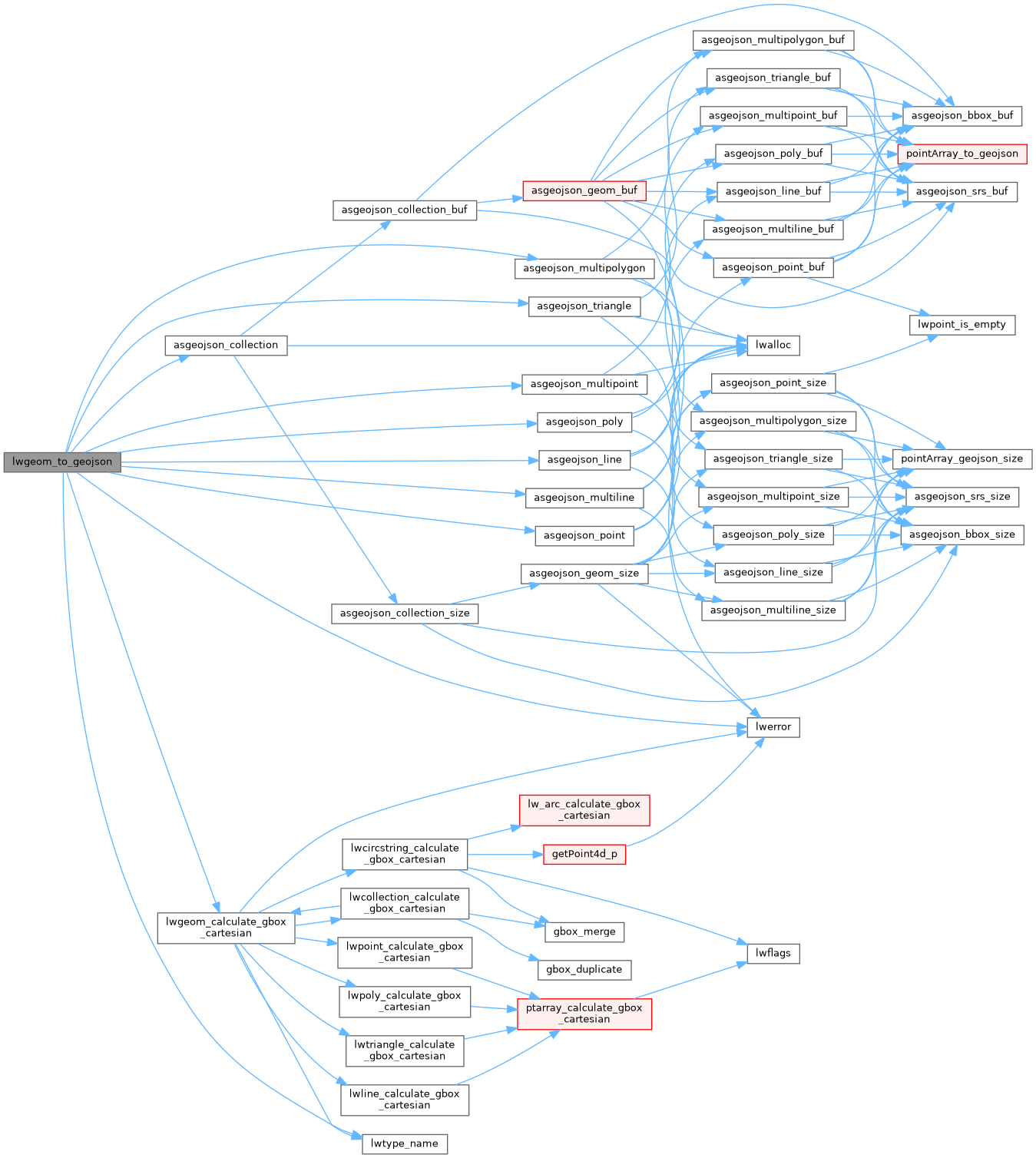
References asgeojson_collection(), asgeojson_line(), asgeojson_multiline(), asgeojson_multipoint(), asgeojson_multipolygon(), asgeojson_point(), asgeojson_poly(), asgeojson_triangle(), COLLECTIONTYPE, LINETYPE, lwerror(), lwgeom_calculate_gbox_cartesian(), lwtype_name(), MULTILINETYPE, MULTIPOINTTYPE, MULTIPOLYGONTYPE, OUT_MAX_DOUBLE_PRECISION, POINTTYPE, POLYGONTYPE, precision, TINTYPE, TRIANGLETYPE, and LWGEOM::type.
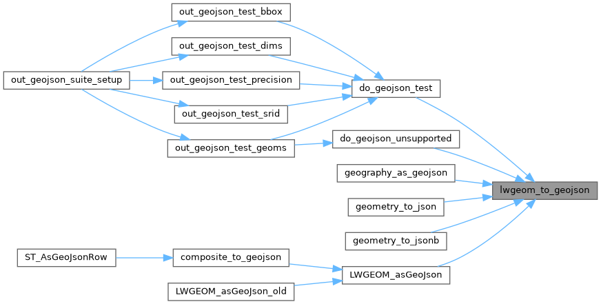
Referenced by do_geojson_test(), do_geojson_unsupported(), geography_as_geojson(), geometry_to_json(), geometry_to_jsonb(), and LWGEOM_asGeoJson().
Here is the call graph for this function:
Here is the caller graph for this function: