Loading...
Searching...
No Matches
◆ lwgeom_maxdistance2d_tolerance()
|
extern |
Function handling max distance calculations and dfullywithin calculations.
The difference is just the tolerance.
Definition at line 177 of file measures.c.
178{
179 /*double thedist;*/
180 DISTPTS thedl;
183 thedl.distance = -1;
184 thedl.tolerance = tolerance;
187
188 /*should never get here. all cases ought to be error handled earlier*/
190 return -1;
191}
int lw_dist2d_comp(const LWGEOM *lw1, const LWGEOM *lw2, DISTPTS *dl)
This function just deserializes geometries Bboxes is not checked here since it is the subgeometries b...
Definition measures.c:236
References DIST_MAX, DISTPTS::distance, lw_dist2d_comp(), LWDEBUG, lwerror(), DISTPTS::mode, and DISTPTS::tolerance.
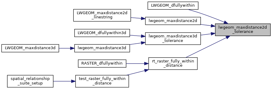
Referenced by LWGEOM_dfullywithin(), lwgeom_maxdistance2d(), lwgeom_maxdistance3d_tolerance(), and rt_raster_fully_within_distance().
Here is the call graph for this function:
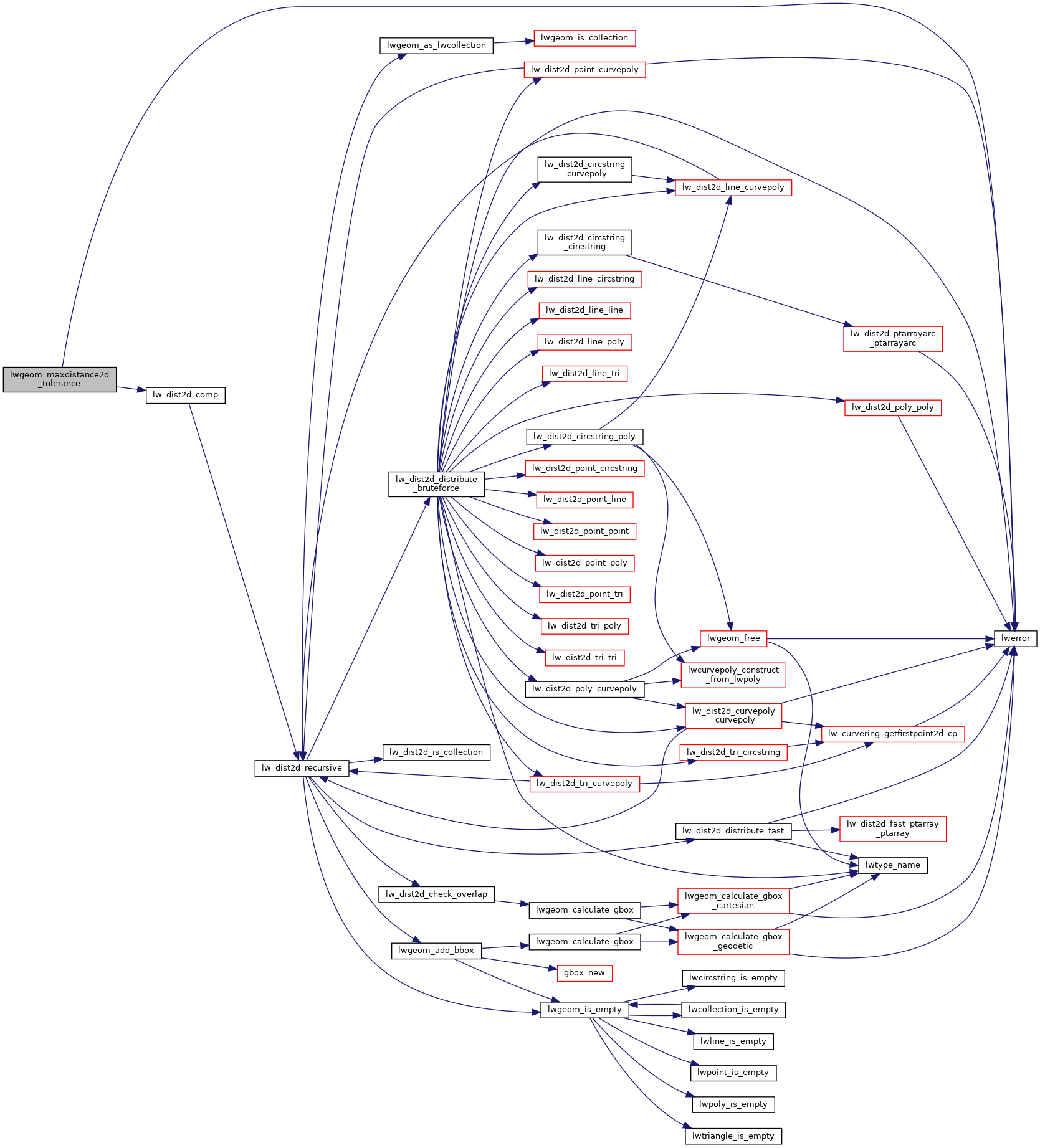
Here is the caller graph for this function: