Loading...
Searching...
No Matches
◆ distance2d_sqr_pt_seg()
Definition at line 2407 of file measures.c.
2408{
2409 /*if start==end, then use pt distance */
2412
2413 /*
2414 * otherwise, we use comp.graphics.algorithms
2415 * Frequently Asked Questions method
2416 *
2417 * (1) AC dot AB
2418 * r = ---------
2419 * ||AB||^2
2420 * r has the following meaning:
2421 * r=0 P = A
2422 * r=1 P = B
2423 * r<0 P is on the backward extension of AB
2424 * r>1 P is on the forward extension of AB
2425 * 0<r<1 P is interior to AB
2426 */
2427
2430 double ab_length_sqr = (ba_x * ba_x + ba_y * ba_y);
2433 double dot_ac_ab = (ca_x * ba_x + ca_y * ba_y);
2434
2435 if (dot_ac_ab <= 0)
2437 if (dot_ac_ab >= ab_length_sqr)
2439
2440 /*
2441 * (2)
2442 * (Ay-Cy)(Bx-Ax)-(Ax-Cx)(By-Ay)
2443 * s = -----------------------------
2444 * L^2
2445 *
2446 * Then the distance from C to P = |s|*L.
2447 *
2448 */
2449
2450 double s_numerator = ca_x * ba_y - ca_y * ba_x;
2451
2452 /* Distance = (s_num / ab) * (s_num / ab) * ab == s_num * s_num / ab) */
2453 return s_numerator * s_numerator / ab_length_sqr;
2454}
static double distance2d_sqr_pt_pt(const POINT2D *p1, const POINT2D *p2)
Definition lwinline.h:35
References distance2d_sqr_pt_pt(), POINT2D::x, and POINT2D::y.
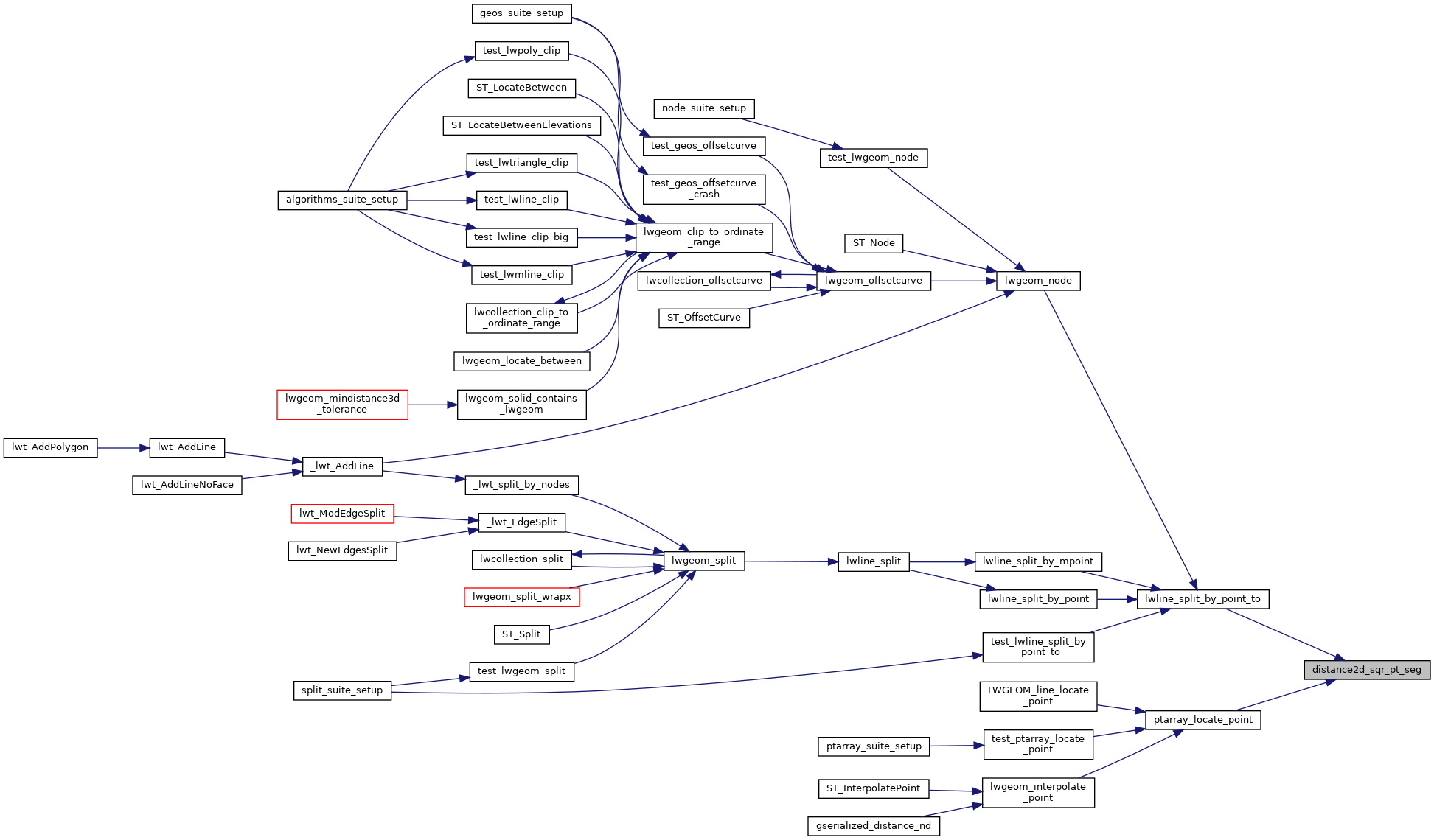
Referenced by lwline_split_by_point_to(), and ptarray_locate_point().
Here is the call graph for this function:

Here is the caller graph for this function: