Loading...
Searching...
No Matches
◆ lwgeom_geohash()
| char * lwgeom_geohash | ( | const LWGEOM * | lwgeom, |
| int | precision | ||
| ) |
Calculate the GeoHash (http://geohash.org) string for a geometry.
Caller must free.
Definition at line 861 of file lwalgorithm.c.
862{
863 GBOX gbox;
864 GBOX gbox_bounds;
865 double lat, lon;
866 int result;
867
868 gbox_init(&gbox);
869 gbox_init(&gbox_bounds);
870
871 result = lwgeom_calculate_gbox_cartesian(lwgeom, &gbox);
873
874 /* Return error if we are being fed something outside our working bounds */
876 {
880 return NULL;
881 }
882
883 /* What is the center of our geometry bounds? We'll use that to
884 ** approximate location. */
887
889 {
891 }
892
893 /*
894 ** Return the geohash of the center, with a precision determined by the
895 ** extent of the bounds.
896 ** Possible change: return the point at the center of the precision bounds?
897 */
899}
int lwgeom_calculate_gbox_cartesian(const LWGEOM *lwgeom, GBOX *gbox)
Calculate the 2-4D bounding box of a geometry.
Definition gbox.c:740
int lwgeom_geohash_precision(GBOX bbox, GBOX *bounds)
Definition lwalgorithm.c:765
char * geohash_point(double longitude, double latitude, int precision)
Definition lwalgorithm.c:597
Definition liblwgeom.h:338
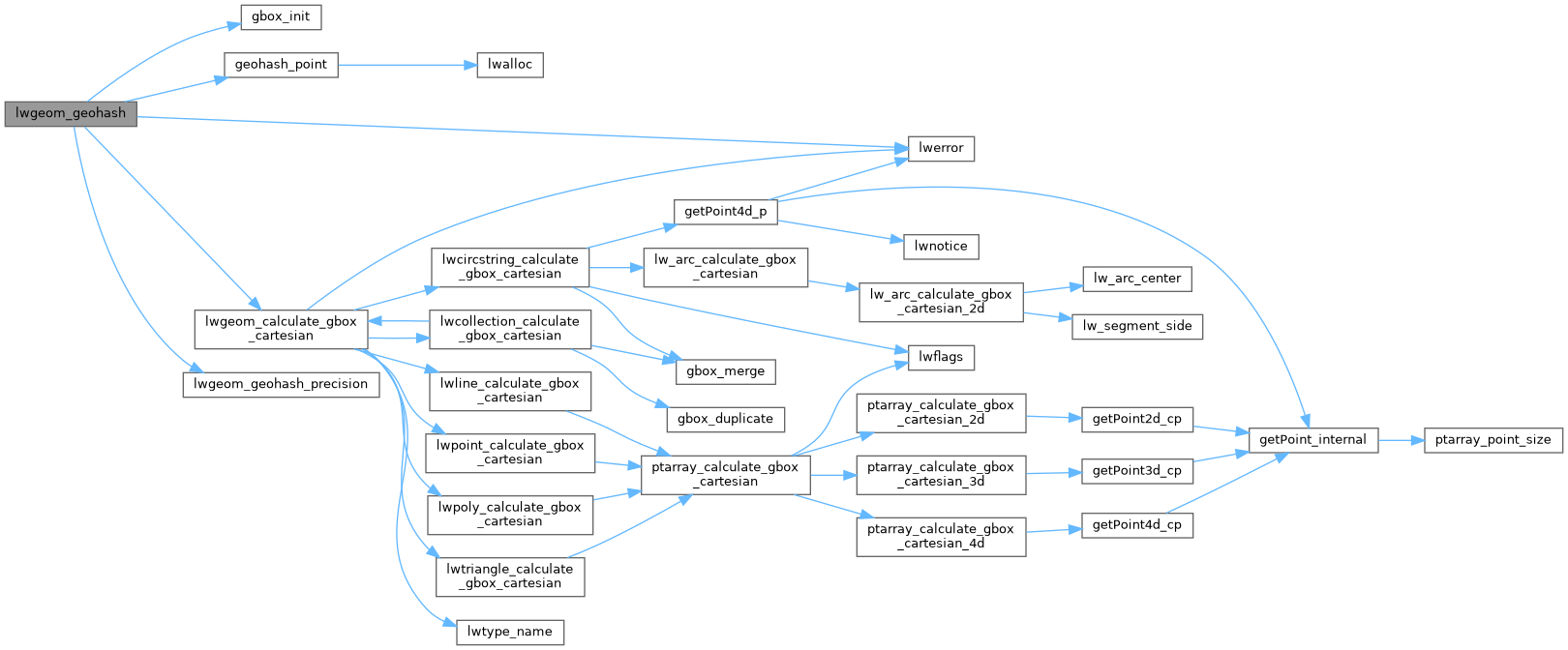
References gbox_init(), geohash_point(), LW_FAILURE, lwerror(), lwgeom_calculate_gbox_cartesian(), lwgeom_geohash_precision(), precision, GBOX::xmax, GBOX::xmin, GBOX::ymax, and GBOX::ymin.
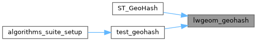
Referenced by ST_GeoHash(), and test_geohash().
Here is the call graph for this function:
Here is the caller graph for this function: