Loading...
Searching...
No Matches
◆ lwgeom_length_2d()
|
extern |
Definition at line 1952 of file lwgeom.c.
1953{
1962 {
1963 double length = 0.0;
1964 uint32_t i;
1968 return length;
1969 }
1970 else
1971 return 0.0;
1972}
double lwcircstring_length_2d(const LWCIRCSTRING *circ)
Definition lwcircstring.c:274
int lwgeom_is_collection(const LWGEOM *geom)
Determine whether a LWGEOM can contain sub-geometries or not.
Definition lwgeom.c:1079
Definition liblwgeom.h:491
Definition liblwgeom.h:559
Definition liblwgeom.h:573
Definition liblwgeom.h:467
References CIRCSTRINGTYPE, COMPOUNDTYPE, LWCOLLECTION::geoms, LINETYPE, lwcircstring_length_2d(), lwcompound_length_2d(), lwgeom_is_collection(), lwgeom_length_2d(), lwline_length_2d(), LWCOLLECTION::ngeoms, and LWGEOM::type.
Referenced by gserialized_distance_nd(), lwcompound_length_2d(), lwcurvepoly_perimeter_2d(), LWGEOM_length2d_linestring(), and lwgeom_length_2d().
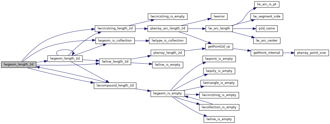
Here is the call graph for this function:
Here is the caller graph for this function: