PostGIS  3.0.6dev-r@@SVN_REVISION@@

◆ lwgeom_needs_bbox()

int lwgeom_needs_bbox ( const LWGEOM geom)

Check whether or not a lwgeom is big enough to warrant a bounding box.

Check whether or not a lwgeom is big enough to warrant a bounding box when stored in the serialized form on disk. Currently only points are considered small enough to not require a bounding box, because the index operations can generate a large number of box-retrieval operations when scanning keys.

Definition at line 1191 of file lwgeom.c.

1192 {
1193  assert(geom);
1194  if ( geom->type == POINTTYPE )
1195  {
1196  return LW_FALSE;
1197  }
1198  else if ( geom->type == LINETYPE )
1199  {
1200  if ( lwgeom_count_vertices(geom) <= 2 )
1201  return LW_FALSE;
1202  else
1203  return LW_TRUE;
1204  }
1205  else if ( geom->type == MULTIPOINTTYPE )
1206  {
1207  if ( ((LWCOLLECTION*)geom)->ngeoms == 1 )
1208  return LW_FALSE;
1209  else
1210  return LW_TRUE;
1211  }
1212  else if ( geom->type == MULTILINETYPE )
1213  {
1214  if ( ((LWCOLLECTION*)geom)->ngeoms == 1 && lwgeom_count_vertices(geom) <= 2 )
1215  return LW_FALSE;
1216  else
1217  return LW_TRUE;
1218  }
1219  else
1220  {
1221  return LW_TRUE;
1222  }
1223 }
#define LW_FALSE
Definition: liblwgeom.h:108
#define MULTILINETYPE
Definition: liblwgeom.h:120
#define LINETYPE
Definition: liblwgeom.h:117
#define MULTIPOINTTYPE
Definition: liblwgeom.h:119
#define POINTTYPE
LWTYPE numbers, used internally by PostGIS.
Definition: liblwgeom.h:116
#define LW_TRUE
Return types for functions with status returns.
Definition: liblwgeom.h:107
uint32_t lwgeom_count_vertices(const LWGEOM *geom)
Count points in an LWGEOM.
Definition: lwgeom.c:1229
uint8_t type
Definition: liblwgeom.h:448

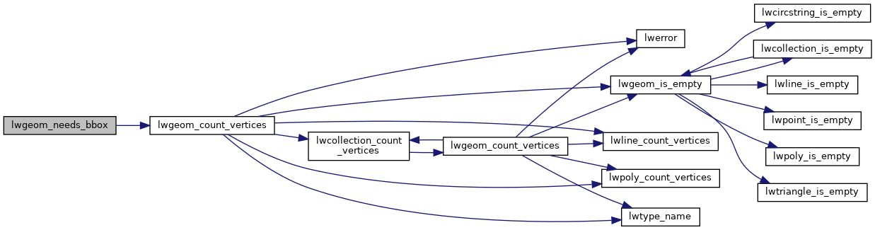
References LINETYPE, LW_FALSE, LW_TRUE, lwgeom_count_vertices(), MULTILINETYPE, MULTIPOINTTYPE, POINTTYPE, and LWGEOM::type.

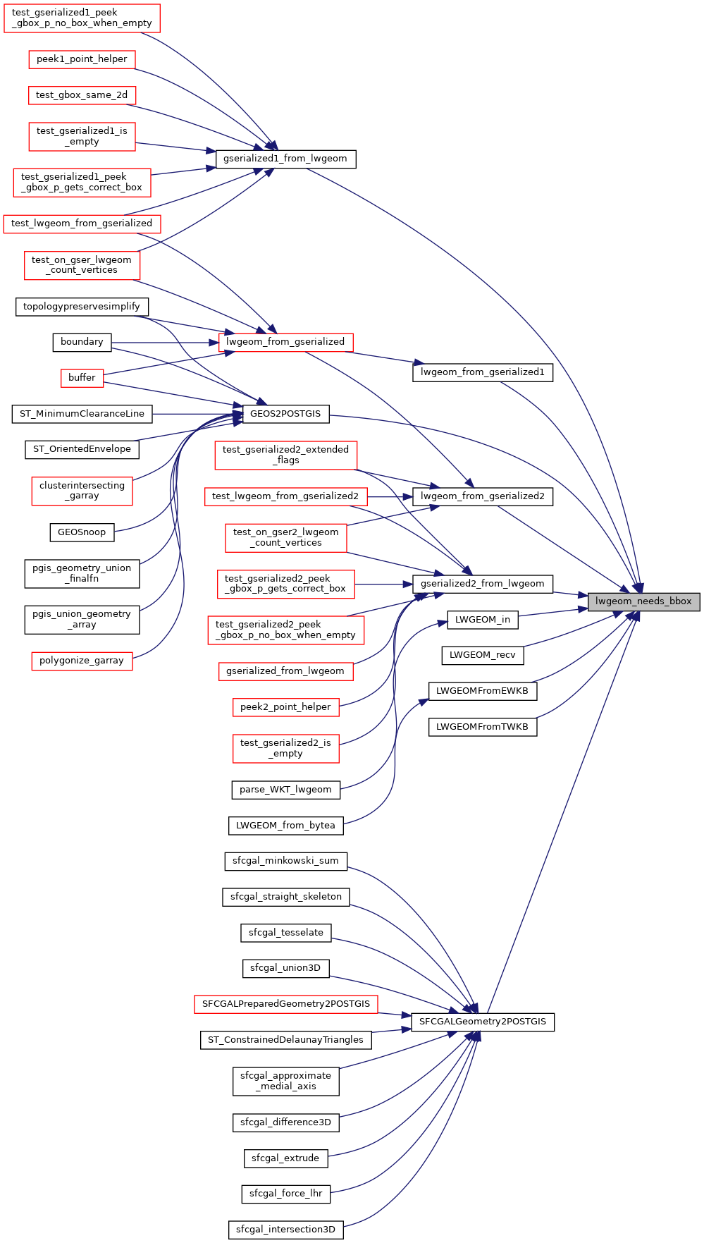
Referenced by GEOS2POSTGIS(), gserialized1_from_lwgeom(), gserialized2_from_lwgeom(), lwgeom_from_gserialized1(), lwgeom_from_gserialized2(), LWGEOM_in(), LWGEOM_recv(), LWGEOMFromEWKB(), LWGEOMFromTWKB(), and SFCGALGeometry2POSTGIS().

Here is the call graph for this function:
Here is the caller graph for this function: