Loading...
Searching...
No Matches
◆ lwgeom_snap()
Snap vertices and segments of a geometry to another using a given tolerance.
- Parameters
-
geom1 the geometry to snap geom2 the geometry to snap to tolerance the distance under which vertices and segments are snapped
Definition at line 1312 of file liblwgeom/lwgeom_geos.c.
1313{
1314 LWGEOM* result;
1315 int32_t srid = RESULT_SRID(geom1, geom2);
1317 GEOSGeometry *g1, *g2, *g3;
1318
1320
1322
1325
1326 g3 = GEOSSnap(g1, g2, tolerance);
1327
1329 GEOSSetSRID(g3, srid);
1330
1332 GEOS_FREE_AND_FAIL(g1, g2, g3);
1333
1334 GEOS_FREE(g1, g2, g3);
1335 return result;
1336}
GEOSGeometry * LWGEOM2GEOS(const LWGEOM *lwgeom, uint8_t autofix)
Definition liblwgeom/lwgeom_geos.c:390
LWGEOM * GEOS2LWGEOM(const GEOSGeometry *geom, uint8_t want3d)
Definition liblwgeom/lwgeom_geos.c:166
Definition liblwgeom.h:443
References AUTOFIX, LWGEOM::flags, FLAGS_GET_Z, GEOS2LWGEOM(), GEOS_FAIL, GEOS_FREE, GEOS_FREE_AND_FAIL, LWGEOM2GEOS(), lwgeom_geos_error(), lwnotice(), RESULT_SRID, and SRID_INVALID.
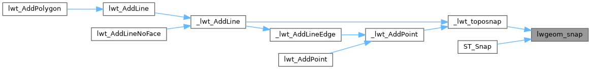
Referenced by _lwt_toposnap(), and ST_Snap().
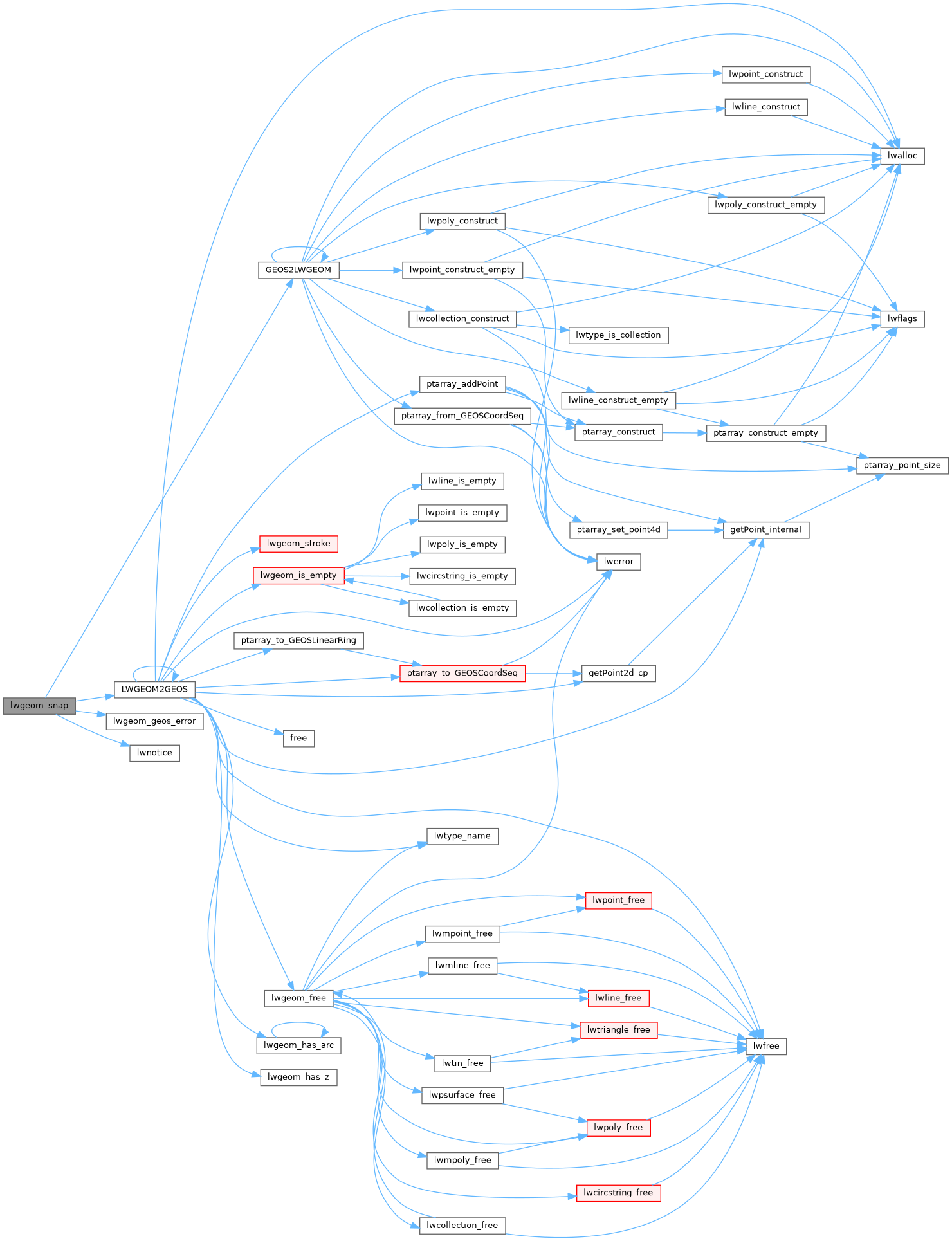
Here is the call graph for this function:
Here is the caller graph for this function: