◆ lwgeom_furthest_point()
Definition at line 58 of file measures.c.
LWGEOM * lw_dist2d_distancepoint(const LWGEOM *lw1, const LWGEOM *lw2, int32_t srid, int mode)
Function initializing closestpoint calculations.
Definition: measures.c:128
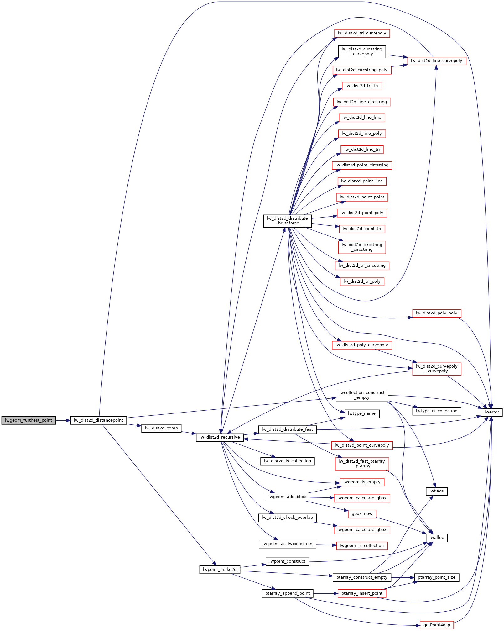
References DIST_MAX, lw_dist2d_distancepoint(), and LWGEOM::srid.
Here is the call graph for this function:
