◆ lwgeom_filter_m()
Definition at line 221 of file lwmval.c.
235 return (LWGEOM*) lwpoint_construct_empty(geom->srid, FLAGS_GET_Z(geom->flags), returnm * FLAGS_GET_M(geom->flags));
240 return (LWGEOM*) lwline_construct_empty(geom->srid, FLAGS_GET_Z(geom->flags), returnm * FLAGS_GET_M(geom->flags));
246 return (LWGEOM*) lwpoly_construct_empty(geom->srid, FLAGS_GET_Z(geom->flags), returnm * FLAGS_GET_M(geom->flags));
256 return (LWGEOM*) lwcollection_construct_empty(geom->type, geom->srid, FLAGS_GET_Z(geom->flags), returnm * FLAGS_GET_M(geom->flags));
LWPOINT * lwpoint_construct_empty(int32_t srid, char hasz, char hasm)
Definition: lwpoint.c:151
LWCOLLECTION * lwcollection_construct_empty(uint8_t type, int32_t srid, char hasz, char hasm)
Definition: lwcollection.c:92
const char * lwtype_name(uint8_t type)
Return the type name string associated with a type number (e.g.
Definition: lwutil.c:216
LWPOLY * lwpoly_construct_empty(int32_t srid, char hasz, char hasm)
Definition: lwpoly.c:161
LWLINE * lwline_construct_empty(int32_t srid, char hasz, char hasm)
Definition: lwline.c:55
static LWGEOM * lwgeom_filter_m_ignore_null(LWGEOM *geom, double min, double max, int returnm)
Definition: lwmval.c:173
Definition: liblwgeom.h:443
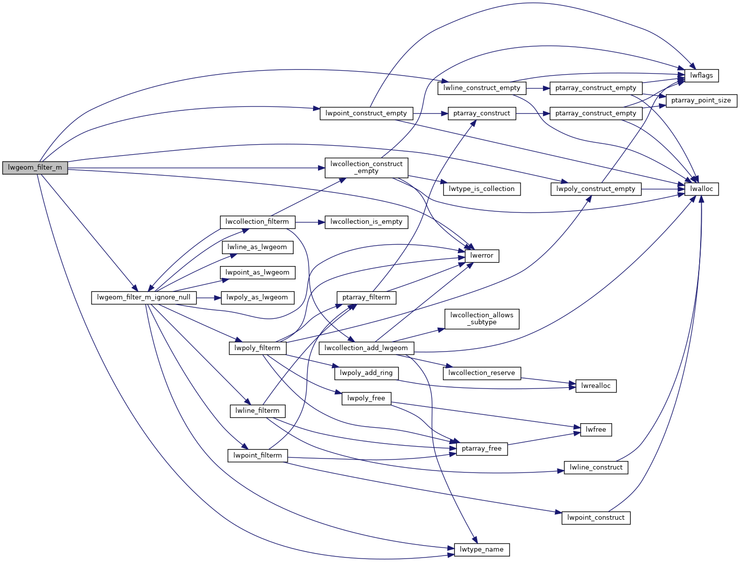
References COLLECTIONTYPE, LWGEOM::flags, FLAGS_GET_M, FLAGS_GET_Z, LINETYPE, lwcollection_construct_empty(), LWDEBUGF, lwerror(), lwgeom_filter_m_ignore_null(), lwline_construct_empty(), lwpoint_construct_empty(), lwpoly_construct_empty(), lwtype_name(), MULTILINETYPE, MULTIPOINTTYPE, MULTIPOLYGONTYPE, POINTTYPE, POLYGONTYPE, LWGEOM::srid, and LWGEOM::type.
Referenced by do_test_filterm(), and LWGEOM_FilterByM().
Here is the call graph for this function:

Here is the caller graph for this function:
