Loading...
Searching...
No Matches
◆ test_lwline_from_lwmpoint()
|
static |
Definition at line 1005 of file cu_gserialized1.c.
1006{
1007 LWLINE *line;
1008 LWMPOINT *mpoint;
1009
1010 mpoint = (LWMPOINT*)lwgeom_from_wkt("MULTIPOINT(0 0, 0 1, 1 1, 1 2, 2 2)", LW_PARSER_CHECK_NONE);
1013 CU_ASSERT_DOUBLE_EQUAL(lwline_length_2d(line), 4.0, 0.000001);
1014
1015 lwline_free(line);
1016 lwmpoint_free(mpoint);
1017}
LWLINE * lwline_from_lwmpoint(int32_t srid, const LWMPOINT *mpoint)
Definition lwline.c:275
Definition liblwgeom.h:467
Definition liblwgeom.h:517
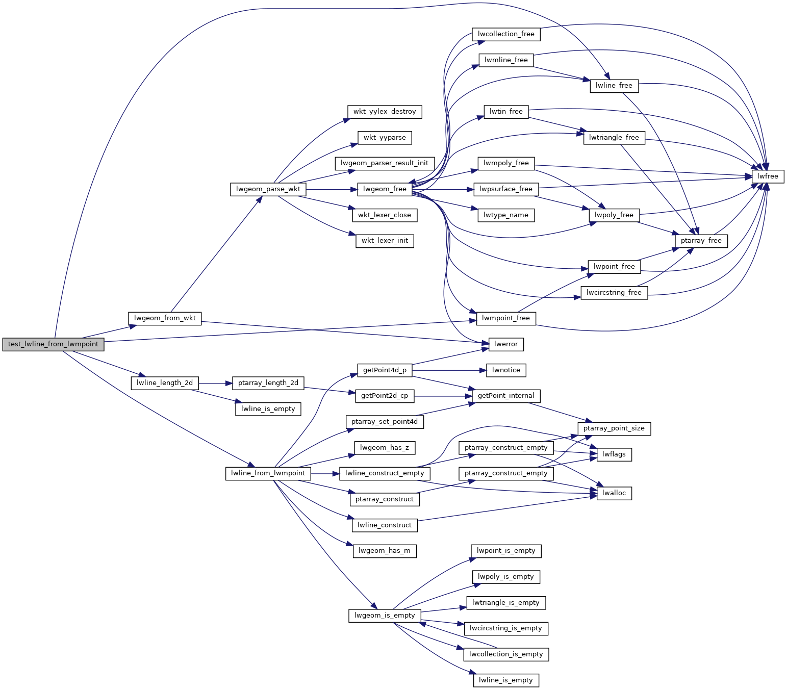
References LW_PARSER_CHECK_NONE, lwgeom_from_wkt(), lwline_free(), lwline_from_lwmpoint(), lwline_length_2d(), lwmpoint_free(), LWMPOINT::ngeoms, POINTARRAY::npoints, LWLINE::points, and SRID_DEFAULT.
Referenced by gserialized1_suite_setup().
Here is the call graph for this function:
Here is the caller graph for this function: