Loading...
Searching...
No Matches
◆ gserialized1_from_lwpoly_size()
|
static |
Definition at line 629 of file gserialized1.c.
630{
631 size_t size = 4; /* Type number. */
632 uint32_t i = 0;
633
634 assert(poly);
635
636 size += 4; /* Number of rings (zero => empty). */
638 size += 4; /* Padding to double alignment. */
639
641 {
642 size += 4; /* Number of points in ring. */
644 }
645
647
648 return size;
649}
References LWPOLY::flags, FLAGS_NDIMS, LWDEBUGF, POINTARRAY::npoints, LWPOLY::nrings, and LWPOLY::rings.
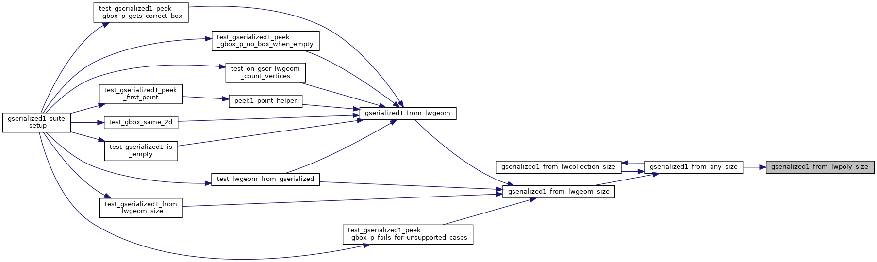
Referenced by gserialized1_from_any_size().
Here is the caller graph for this function: