Loading...
Searching...
No Matches
◆ gserialized1_from_lwcollection()
|
static |
Definition at line 948 of file gserialized1.c.
949{
950 size_t subsize = 0;
951 uint8_t *loc;
952 uint32_t i;
954
955 assert(coll);
956 assert(buf);
957
959 loc = buf;
960
961 /* Write in the type. */
962 memcpy(loc, &type, sizeof(uint32_t));
963 loc += sizeof(uint32_t);
964
965 /* Write in the number of subgeoms. */
967 loc += sizeof(uint32_t);
968
969 /* Serialize subgeoms. */
971 {
975 loc += subsize;
976 }
977
978 return (size_t)(loc - buf);
979}
static size_t gserialized1_from_lwgeom_any(const LWGEOM *geom, uint8_t *buf)
Definition gserialized1.c:981
References LWGEOM::flags, LWCOLLECTION::flags, FLAGS_GET_ZM, LWCOLLECTION::geoms, gserialized1_from_lwgeom_any(), lwerror(), LWCOLLECTION::ngeoms, and LWCOLLECTION::type.
Referenced by gserialized1_from_lwgeom_any().
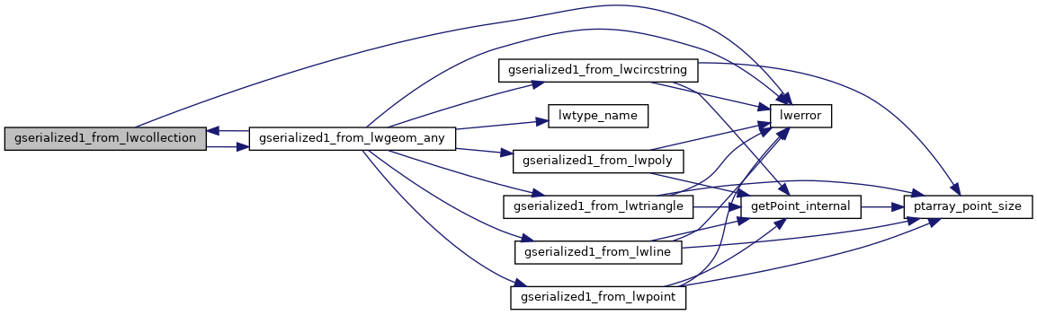
Here is the call graph for this function:
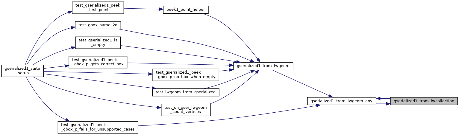
Here is the caller graph for this function: