PostGIS  3.0.6dev-r@@SVN_REVISION@@

◆ gserialized1_from_lwcircstring()

static size_t gserialized1_from_lwcircstring ( const LWCIRCSTRING curve,
uint8_t *  buf 
)
static

Definition at line 912 of file gserialized1.c.

913 {
914  uint8_t *loc;
915  int ptsize;
916  size_t size;
917  int type = CIRCSTRINGTYPE;
918 
919  assert(curve);
920  assert(buf);
921 
922  if (FLAGS_GET_ZM(curve->flags) != FLAGS_GET_ZM(curve->points->flags))
923  lwerror("Dimensions mismatch in lwcircstring");
924 
925 
926  ptsize = ptarray_point_size(curve->points);
927  loc = buf;
928 
929  /* Write in the type. */
930  memcpy(loc, &type, sizeof(uint32_t));
931  loc += sizeof(uint32_t);
932 
933  /* Write in the npoints. */
934  memcpy(loc, &curve->points->npoints, sizeof(uint32_t));
935  loc += sizeof(uint32_t);
936 
937  /* Copy in the ordinates. */
938  if ( curve->points->npoints > 0 )
939  {
940  size = curve->points->npoints * ptsize;
941  memcpy(loc, getPoint_internal(curve->points, 0), size);
942  loc += size;
943  }
944 
945  return (size_t)(loc - buf);
946 }
#define CIRCSTRINGTYPE
Definition: liblwgeom.h:123
#define FLAGS_GET_ZM(flags)
Definition: liblwgeom.h:194
void lwerror(const char *fmt,...)
Write a notice out to the error handler.
Definition: lwutil.c:190
static size_t ptarray_point_size(const POINTARRAY *pa)
Definition: lwinline.h:48
static uint8_t * getPoint_internal(const POINTARRAY *pa, uint32_t n)
Definition: lwinline.h:67
type
Definition: ovdump.py:42
lwflags_t flags
Definition: liblwgeom.h:495
POINTARRAY * points
Definition: liblwgeom.h:493
lwflags_t flags
Definition: liblwgeom.h:417
uint32_t npoints
Definition: liblwgeom.h:413

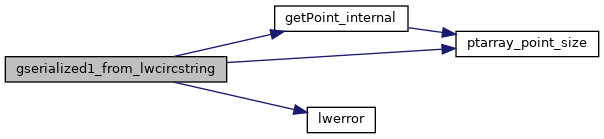
References CIRCSTRINGTYPE, POINTARRAY::flags, LWCIRCSTRING::flags, FLAGS_GET_ZM, getPoint_internal(), lwerror(), POINTARRAY::npoints, LWCIRCSTRING::points, ptarray_point_size(), and ovdump::type.

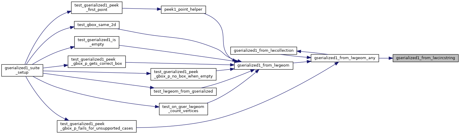
Referenced by gserialized1_from_lwgeom_any().

Here is the call graph for this function:
Here is the caller graph for this function: