Loading...
Searching...
No Matches
◆ lwgeom_construct_empty()
| LWGEOM * lwgeom_construct_empty | ( | uint8_t | type, |
| int32_t | srid, | ||
| char | hasz, | ||
| char | hasm | ||
| ) |
Definition at line 2083 of file lwgeom.c.
2084{
2085 switch(type)
2086 {
2105 default:
2107 lwtype_name(type));
2108 return NULL;
2109 }
2110}
const char * lwtype_name(uint8_t type)
Return the type name string associated with a type number (e.g.
Definition lwutil.c:216
LWCURVEPOLY * lwcurvepoly_construct_empty(int32_t srid, char hasz, char hasm)
Definition lwcurvepoly.c:35
LWTRIANGLE * lwtriangle_construct_empty(int32_t srid, char hasz, char hasm)
Definition lwtriangle.c:58
LWPOINT * lwpoint_construct_empty(int32_t srid, char hasz, char hasm)
Definition lwpoint.c:151
LWCOLLECTION * lwcollection_construct_empty(uint8_t type, int32_t srid, char hasz, char hasm)
Definition lwcollection.c:92
LWCIRCSTRING * lwcircstring_construct_empty(int32_t srid, char hasz, char hasm)
Definition lwcircstring.c:79
LWPOLY * lwpoly_construct_empty(int32_t srid, char hasz, char hasm)
Definition lwpoly.c:161
LWLINE * lwline_construct_empty(int32_t srid, char hasz, char hasm)
Definition lwline.c:55
LWGEOM * lwcircstring_as_lwgeom(const LWCIRCSTRING *obj)
Definition lwgeom.c:296
LWGEOM * lwcollection_as_lwgeom(const LWCOLLECTION *obj)
Definition lwgeom.c:291
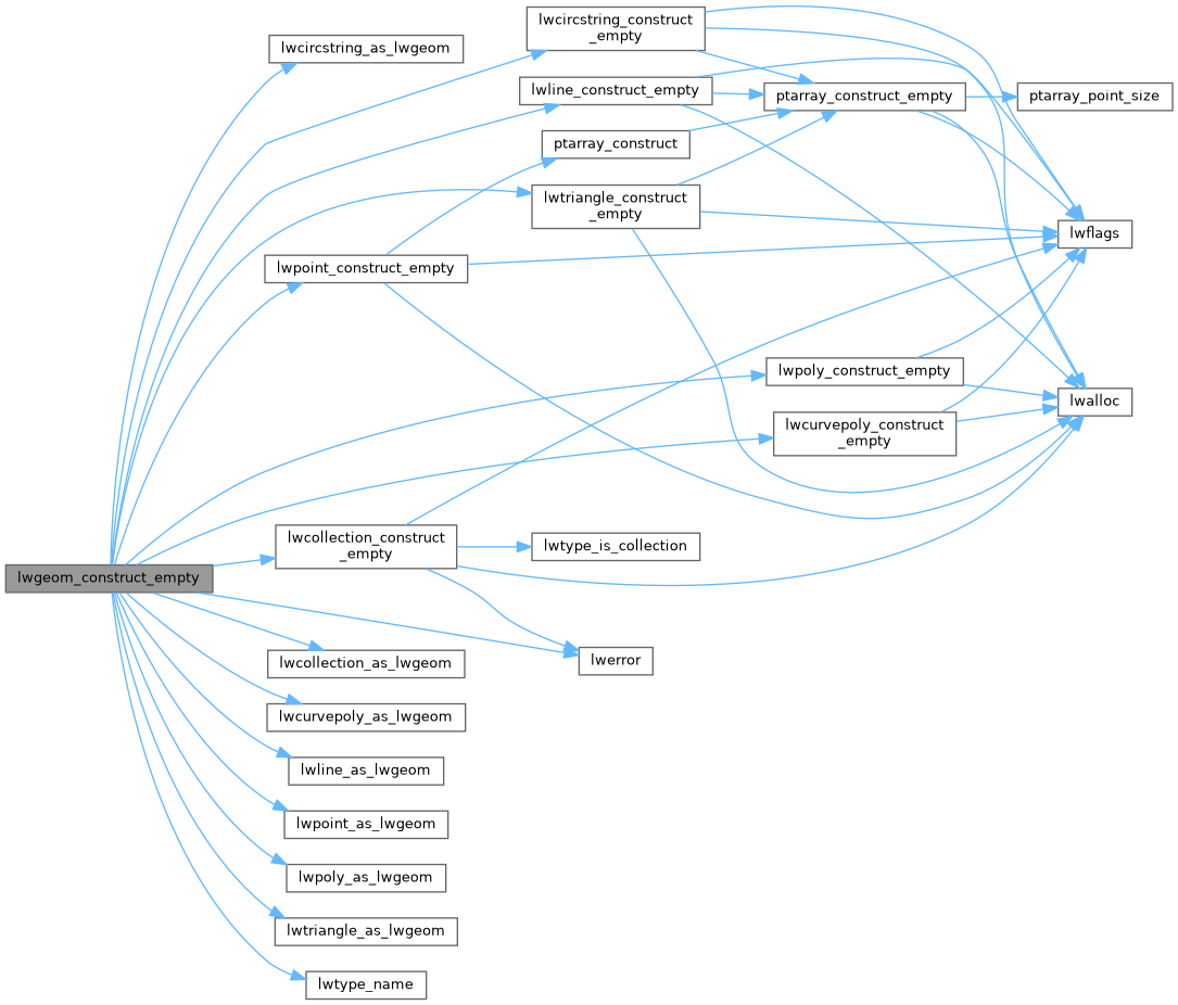
References CIRCSTRINGTYPE, COLLECTIONTYPE, COMPOUNDTYPE, CURVEPOLYTYPE, LINETYPE, lwcircstring_as_lwgeom(), lwcircstring_construct_empty(), lwcollection_as_lwgeom(), lwcollection_construct_empty(), lwcurvepoly_as_lwgeom(), lwcurvepoly_construct_empty(), lwerror(), lwline_as_lwgeom(), lwline_construct_empty(), lwpoint_as_lwgeom(), lwpoint_construct_empty(), lwpoly_as_lwgeom(), lwpoly_construct_empty(), lwtriangle_as_lwgeom(), lwtriangle_construct_empty(), lwtype_name(), MULTILINETYPE, MULTIPOINTTYPE, MULTIPOLYGONTYPE, POINTTYPE, POLYGONTYPE, and TRIANGLETYPE.
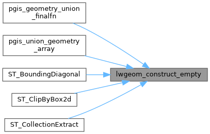
Referenced by pgis_geometry_union_finalfn(), pgis_union_geometry_array(), ST_BoundingDiagonal(), ST_ClipByBox2d(), and ST_CollectionExtract().
Here is the call graph for this function:
Here is the caller graph for this function: