Loading...
Searching...
No Matches
◆ lw_dist2d_point_point()
point to point calculation
Definition at line 595 of file measures.c.
596{
600}
static const POINT2D * getPoint2d_cp(const POINTARRAY *pa, uint32_t n)
Returns a POINT2D pointer into the POINTARRAY serialized_ptlist, suitable for reading from.
Definition lwinline.h:91
int lw_dist2d_pt_pt(const POINT2D *thep1, const POINT2D *thep2, DISTPTS *dl)
Compares incoming points and stores the points closest to each other or most far away from each other...
Definition measures.c:2365
Definition liblwgeom.h:375
References getPoint2d_cp(), lw_dist2d_pt_pt(), and LWPOINT::point.
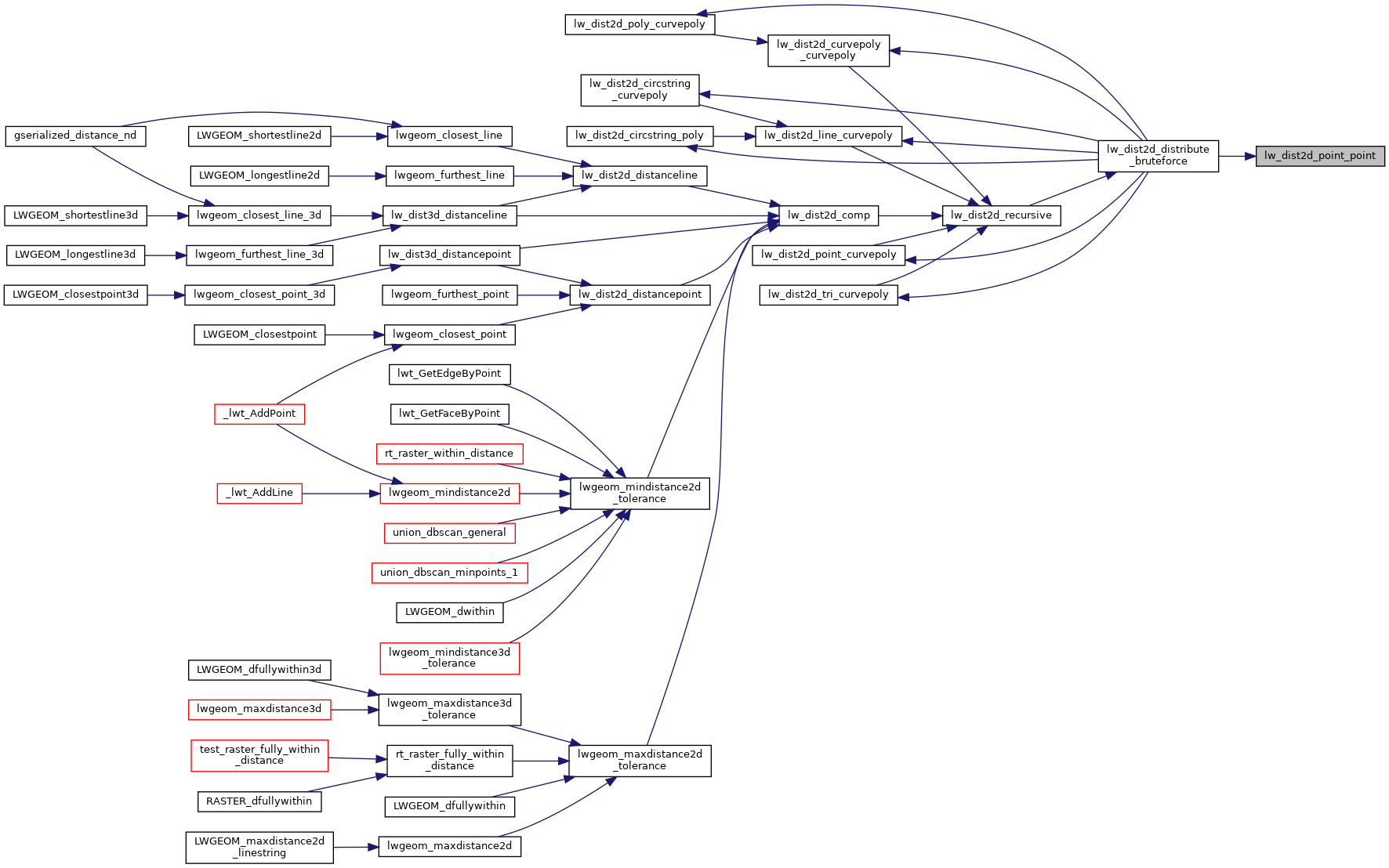
Referenced by lw_dist2d_distribute_bruteforce().
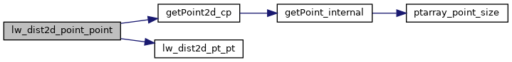
Here is the call graph for this function:
Here is the caller graph for this function: