Loading...
Searching...
No Matches
◆ lw_dist2d_tri_poly()
| int lw_dist2d_tri_poly | ( | LWTRIANGLE * | tri, |
| LWPOLY * | poly, | ||
| DISTPTS * | dl | ||
| ) |
Definition at line 834 of file measures.c.
835{
838
839 /* If we are looking for maxdistance, just check the outer rings.*/
842
843 /* Triangle has a point outside poly. Check distance to outer ring only. */
845 {
848
849 /* just a check if the answer is already given */
852
853 /* Maybe poly is inside triangle? */
856 {
857 dl->distance = 0.0;
861 }
862 }
863
865 {
868
869 /* just a check if the answer is already given */
872 }
873
874 /* It's inside a hole, then the actual distance is the min ring distance */
878
879 /* Not in hole, so inside polygon */
880 dl->distance = 0.0;
884}
int ptarray_contains_point(const POINTARRAY *pa, const POINT2D *pt)
Return 1 if the point is inside the POINTARRAY, -1 if it is outside, and 0 if it is on the boundary.
Definition ptarray.c:740
static const POINT2D * getPoint2d_cp(const POINTARRAY *pa, uint32_t n)
Returns a POINT2D pointer into the POINTARRAY serialized_ptlist, suitable for reading from.
Definition lwinline.h:91
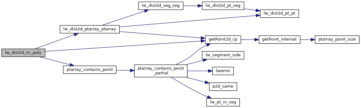
int lw_dist2d_ptarray_ptarray(POINTARRAY *l1, POINTARRAY *l2, DISTPTS *dl)
test each segment of l1 against each segment of l2.
Definition measures.c:1208
Definition liblwgeom.h:375
Definition liblwgeom.h:412
References DIST_MAX, DIST_MIN, DISTPTS::distance, getPoint2d_cp(), lw_dist2d_ptarray_ptarray(), LW_FALSE, LW_OUTSIDE, LW_TRUE, DISTPTS::mode, LWPOLY::nrings, DISTPTS::p1, DISTPTS::p2, LWTRIANGLE::points, ptarray_contains_point(), LWPOLY::rings, DISTPTS::tolerance, POINT2D::x, and POINT2D::y.
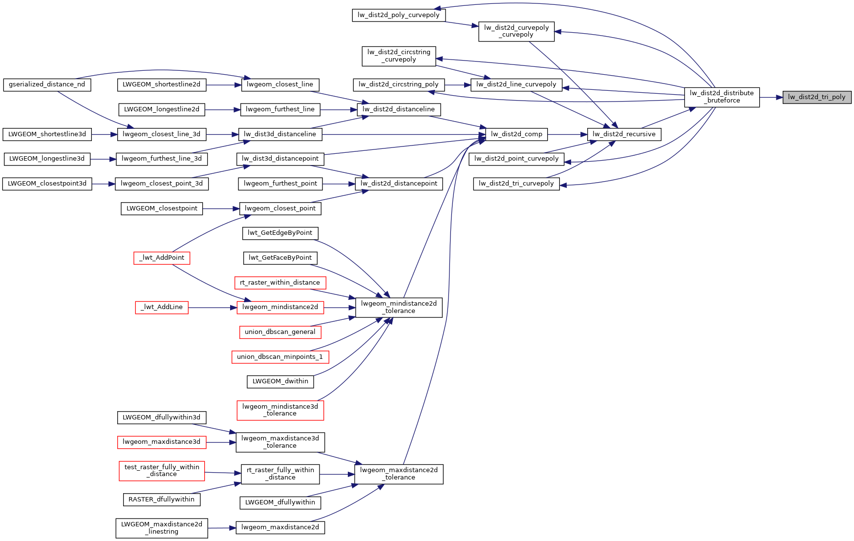
Referenced by lw_dist2d_distribute_bruteforce().
Here is the call graph for this function:
Here is the caller graph for this function: