Loading...
Searching...
No Matches
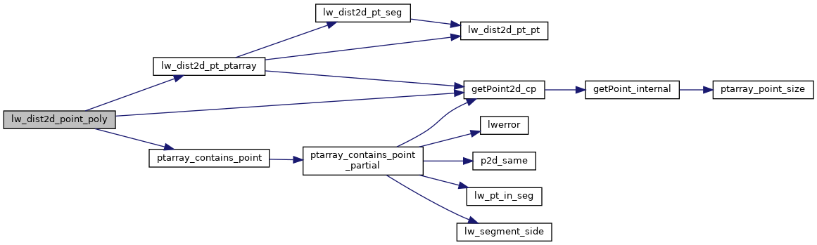
◆ lw_dist2d_point_poly()
- see if pt in outer boundary. if no, then treat the outer ring like a line
- if in the boundary, test to see if its in a hole. if so, then return dist to hole, else return 0 (point in polygon)
Definition at line 641 of file measures.c.
642{
644
645 /* Max distance? Check only outer ring.*/
648
649 /* Return distance to outer ring if not inside it */
652
653 /*
654 * Inside the outer ring.
655 * Scan though each of the inner rings looking to
656 * see if its inside. If not, distance==0.
657 * Otherwise, distance = pt to ring distance
658 */
662
663 /* Is inside the polygon */
664 dl->distance = 0.0;
668}
int ptarray_contains_point(const POINTARRAY *pa, const POINT2D *pt)
Return 1 if the point is inside the POINTARRAY, -1 if it is outside, and 0 if it is on the boundary.
Definition ptarray.c:740
static const POINT2D * getPoint2d_cp(const POINTARRAY *pa, uint32_t n)
Returns a POINT2D pointer into the POINTARRAY serialized_ptlist, suitable for reading from.
Definition lwinline.h:91
int lw_dist2d_pt_ptarray(const POINT2D *p, POINTARRAY *pa, DISTPTS *dl)
search all the segments of pointarray to see which one is closest to p1 Returns minimum distance betw...
Definition measures.c:1129
Definition liblwgeom.h:375
References DIST_MAX, DISTPTS::distance, getPoint2d_cp(), lw_dist2d_pt_ptarray(), LW_OUTSIDE, LW_TRUE, DISTPTS::mode, LWPOLY::nrings, DISTPTS::p1, DISTPTS::p2, LWPOINT::point, ptarray_contains_point(), LWPOLY::rings, POINT2D::x, and POINT2D::y.
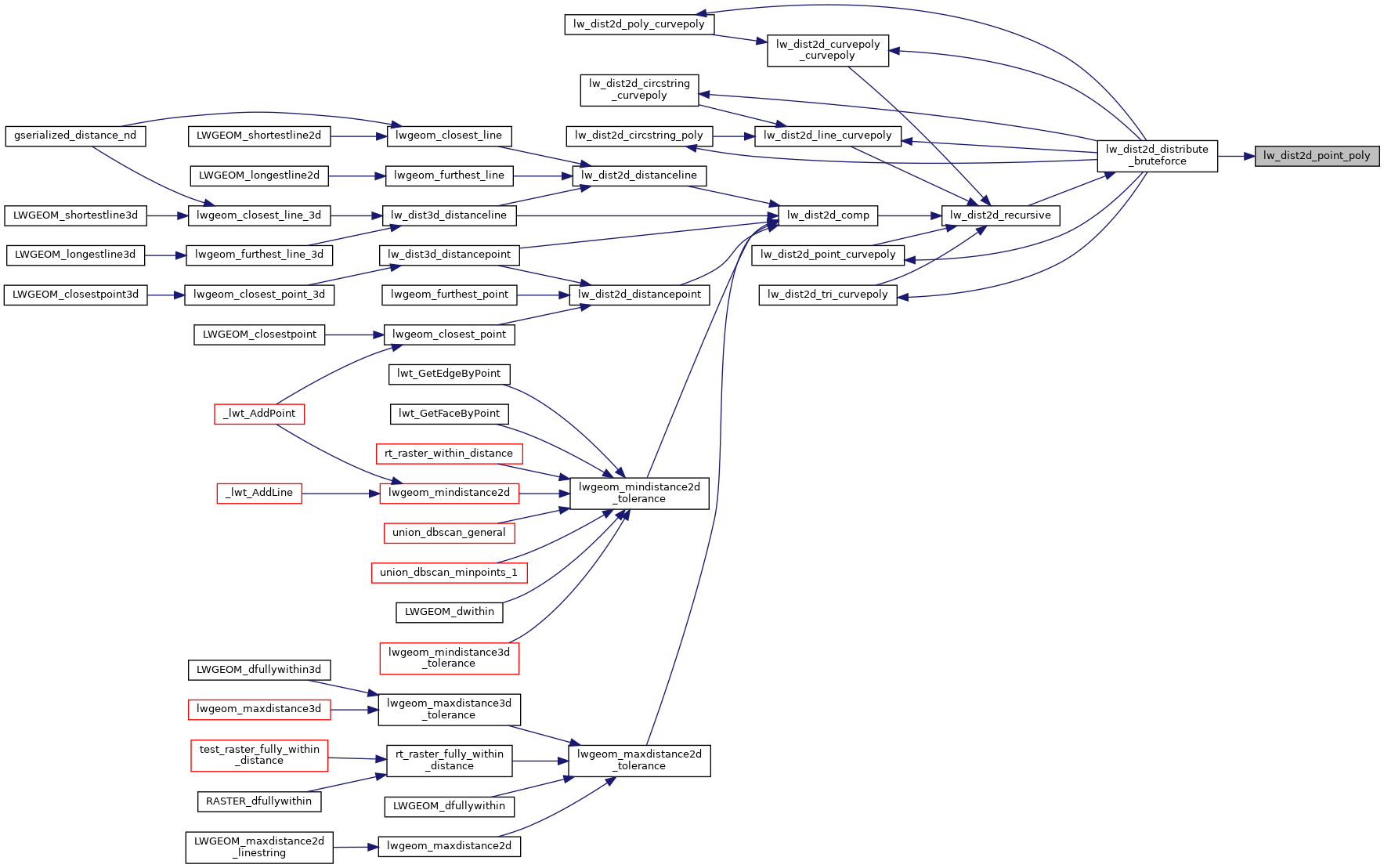
Referenced by lw_dist2d_distribute_bruteforce().
Here is the call graph for this function:
Here is the caller graph for this function: