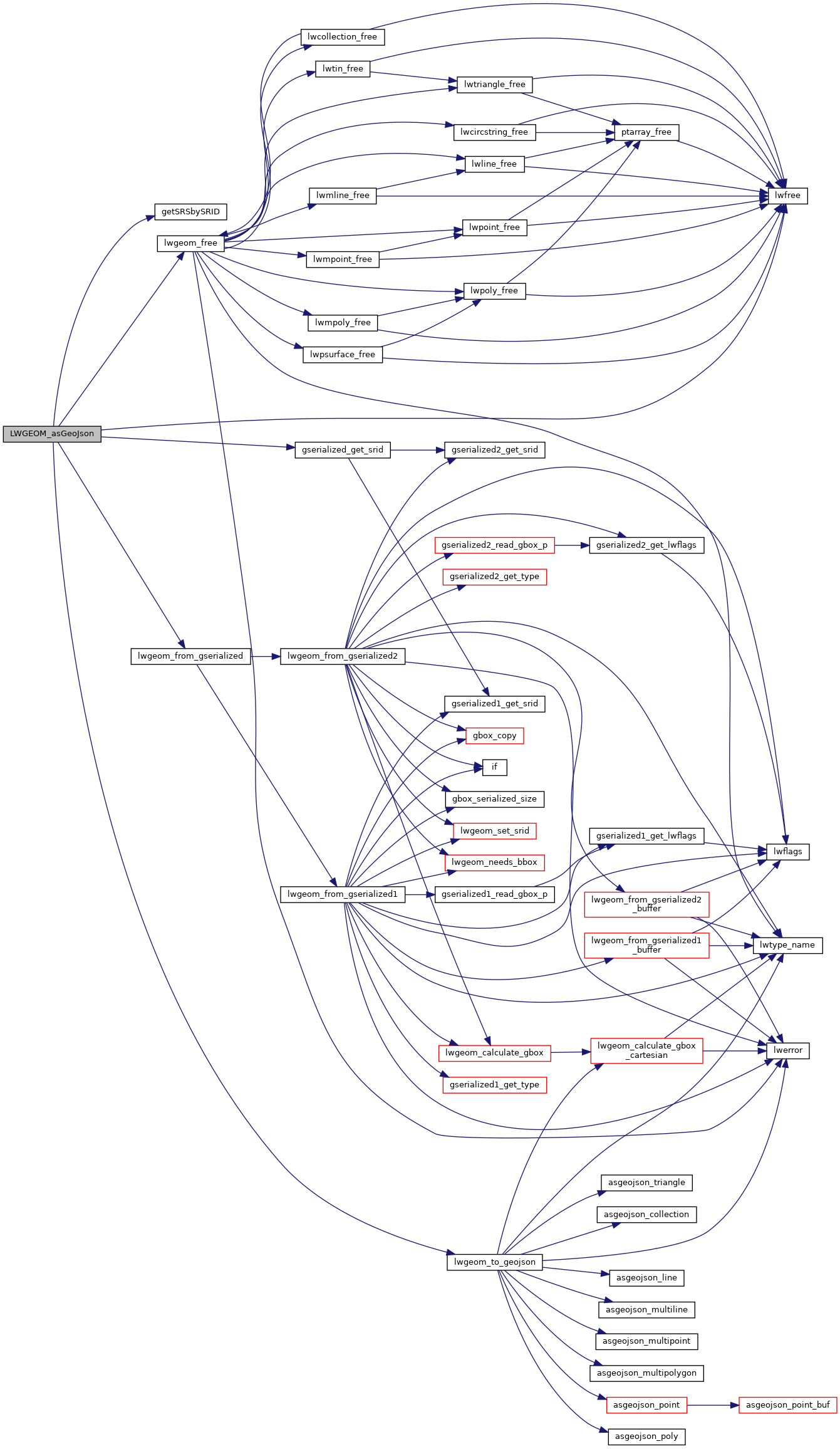
◆ LWGEOM_asGeoJson()
| Datum LWGEOM_asGeoJson | ( | PG_FUNCTION_ARGS | ) |
Definition at line 374 of file lwgeom_export.c.
int32_t gserialized_get_srid(const GSERIALIZED *g)
Extract the SRID from the serialized form (it is packed into three bytes so this is a handy function)...
Definition: gserialized.c:126
LWGEOM * lwgeom_from_gserialized(const GSERIALIZED *g)
Allocate a new LWGEOM from a GSERIALIZED.
Definition: gserialized.c:239
char * lwgeom_to_geojson(const LWGEOM *geo, char *srs, int precision, int has_bbox)
Takes a GEOMETRY and returns a GeoJson representation.
Definition: lwout_geojson.c:49
char * getSRSbySRID(FunctionCallInfo fcinfo, int32_t srid, bool short_crs)
Definition: lwgeom_export.c:66
Definition: liblwgeom.h:429
Definition: liblwgeom.h:443
References getSRSbySRID(), gserialized_get_srid(), LW_FALSE, LW_TRUE, lwfree(), lwgeom_free(), lwgeom_from_gserialized(), lwgeom_to_geojson(), precision, SRID_UNKNOWN, and WGS84_SRID.
Referenced by composite_to_geojson(), and LWGEOM_asGeoJson_old().
Here is the call graph for this function:

Here is the caller graph for this function:
