Loading...
Searching...
No Matches
◆ create_v_line()
This function is used to create a vertical line used for cases where one if the geometries lacks z-values.
The vertical line crosses the 2d point that is closest and the z-range is from maxz to minz in the geometry that has z values.
Definition at line 59 of file measures3d.c.
60{
61
62 LWPOINT *lwpoints[2];
63 GBOX gbox;
65
67 return NULL;
68
71
73}
LWPOINT * lwpoint_make3dz(int32_t srid, double x, double y, double z)
Definition lwpoint.c:173
int lwgeom_calculate_gbox(const LWGEOM *lwgeom, GBOX *gbox)
Calculate bounding box of a geometry, automatically taking into account whether it is cartesian or ge...
Definition lwgeom.c:737
LWLINE * lwline_from_ptarray(int32_t srid, uint32_t npoints, LWPOINT **points)
Definition lwline.c:228
Definition liblwgeom.h:338
Definition liblwgeom.h:443
Definition liblwgeom.h:455
References LW_FAILURE, lwgeom_calculate_gbox(), lwline_from_ptarray(), lwpoint_make3dz(), GBOX::zmax, and GBOX::zmin.
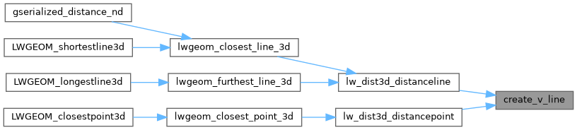
Referenced by lw_dist3d_distanceline(), and lw_dist3d_distancepoint().
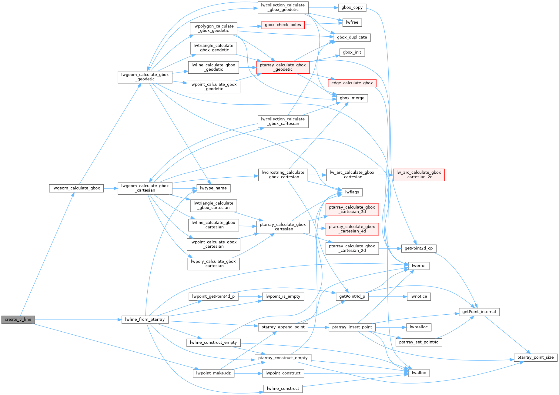
Here is the call graph for this function:
Here is the caller graph for this function: